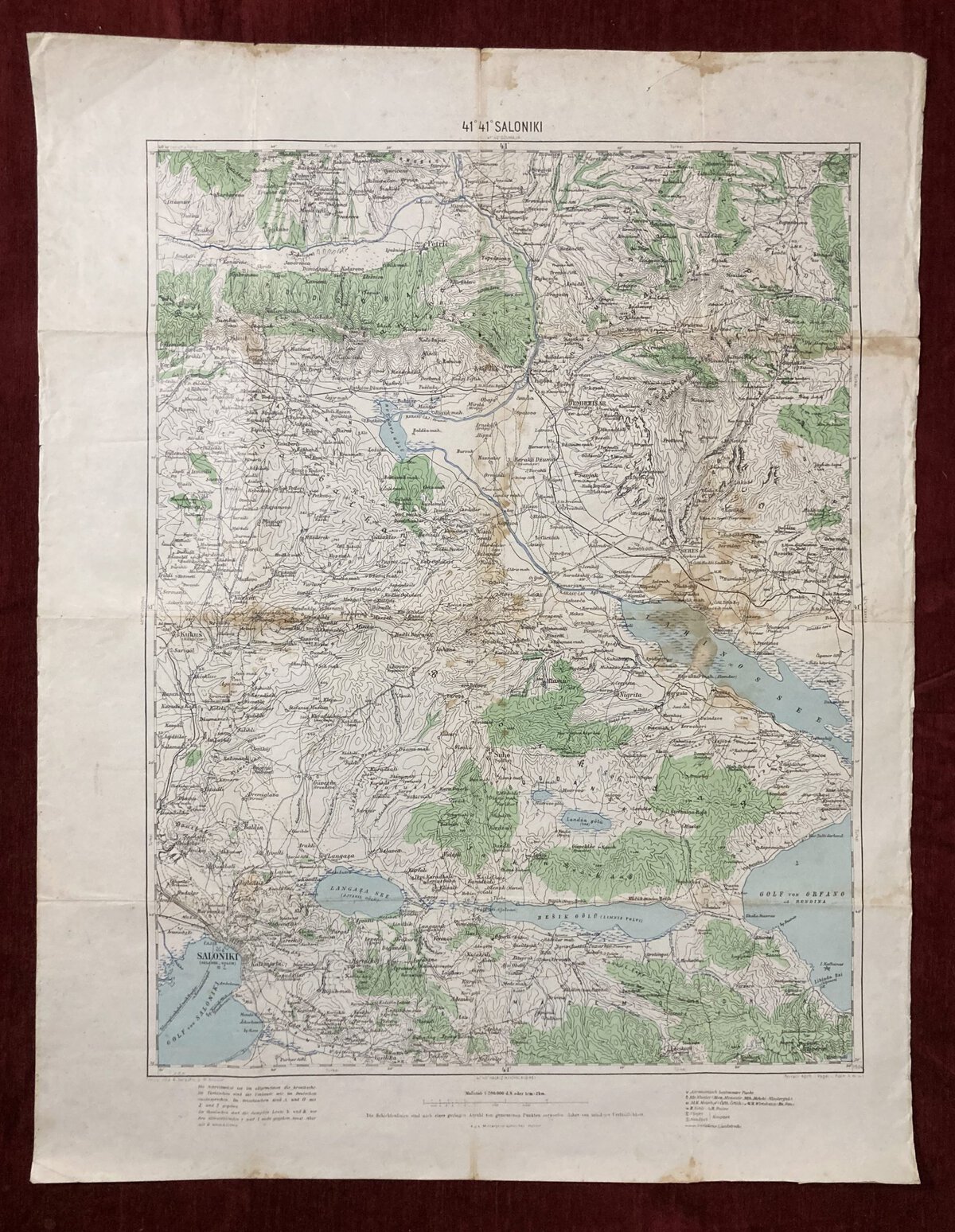
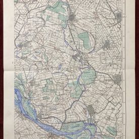
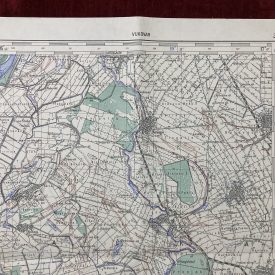
A Military Topographic Map of Saloniki
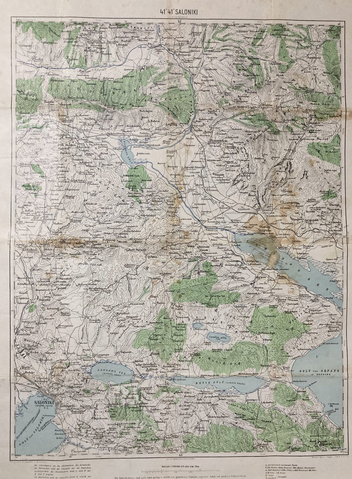
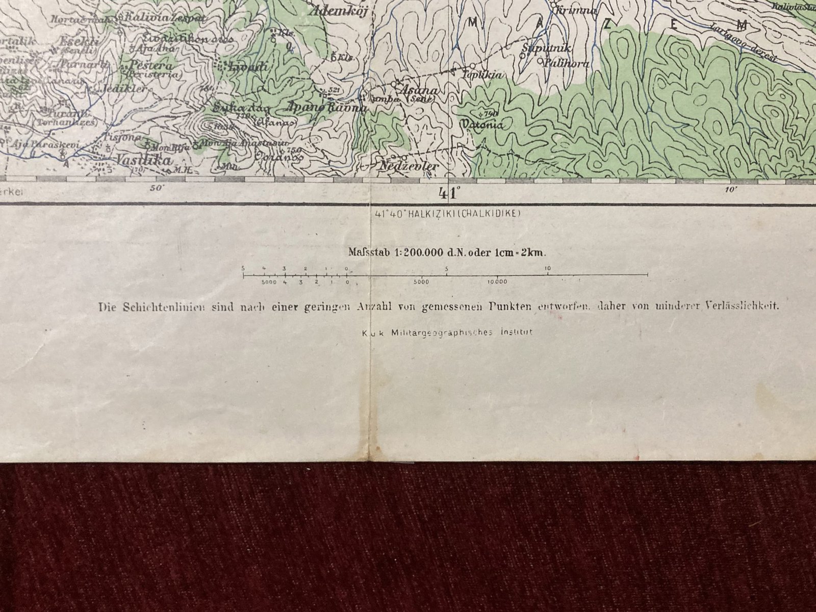
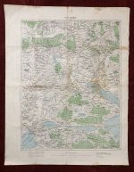
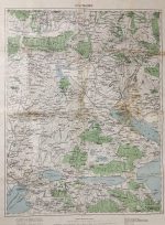
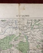
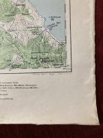
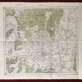
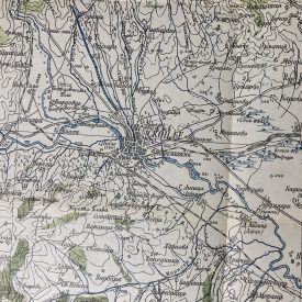
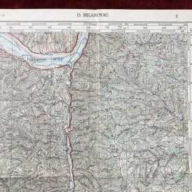
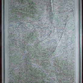
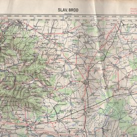
A rare map of the central region of the Thessaloniki municipality in the Central Macedonia region in Greece. The map was printed in Austro-Hungary and shows from Petrič to the north to the Gulf of Saloniki to the south and from Kukuš to the Gulf of Orfano to the east. The map was most probably used during the First Balkan War in 1912-1913.
***
Size of print: 68 x 52,5 cm
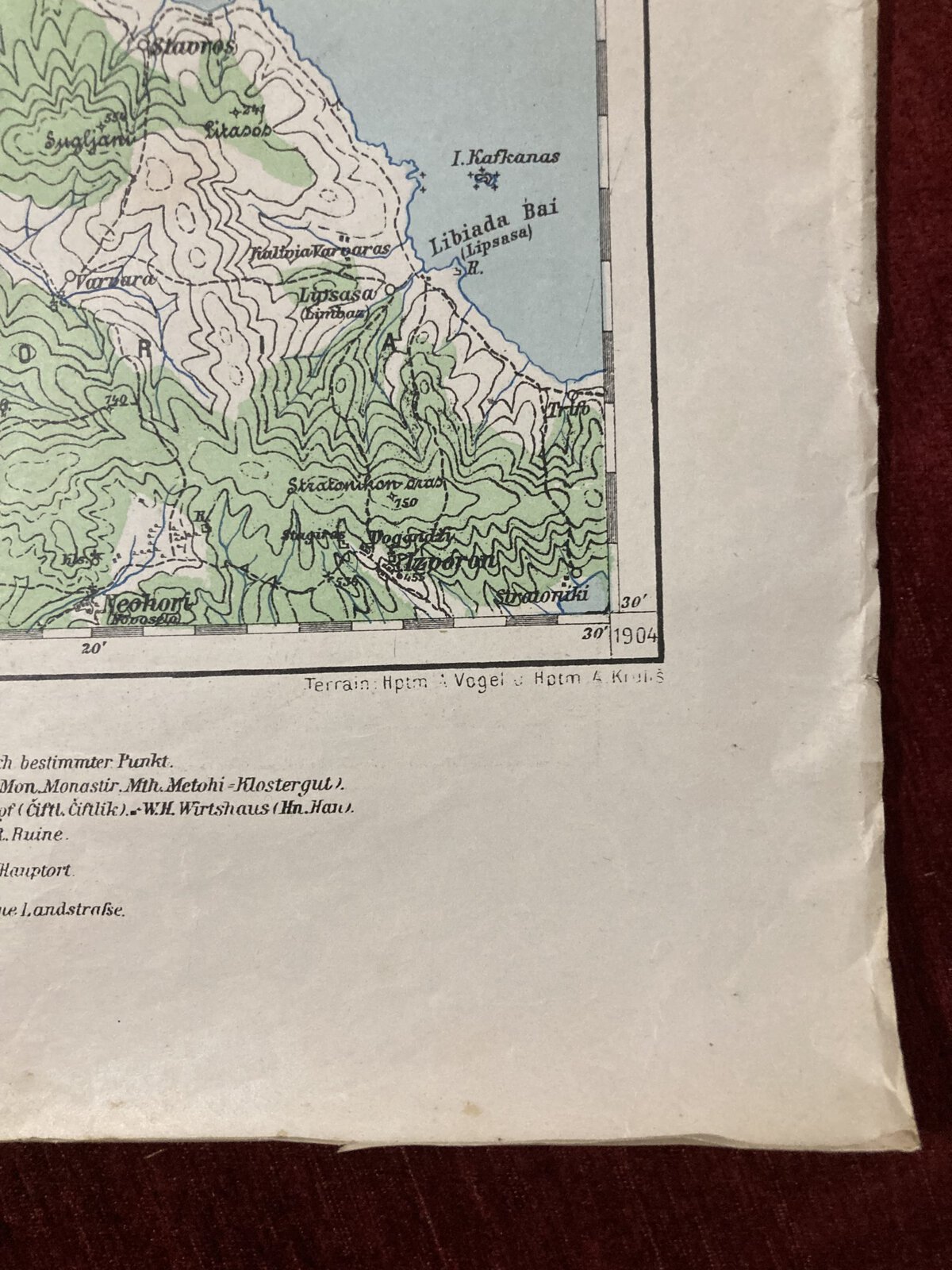
Year: 1904.
Publisher: Militargeographisches Institut.
Printer: A. Jersche, W.Kaeaur
Language: German
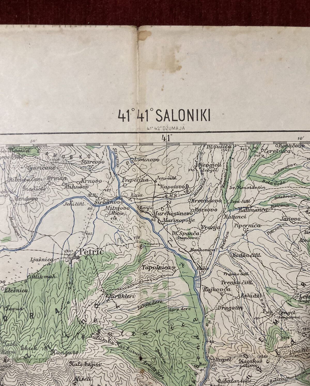
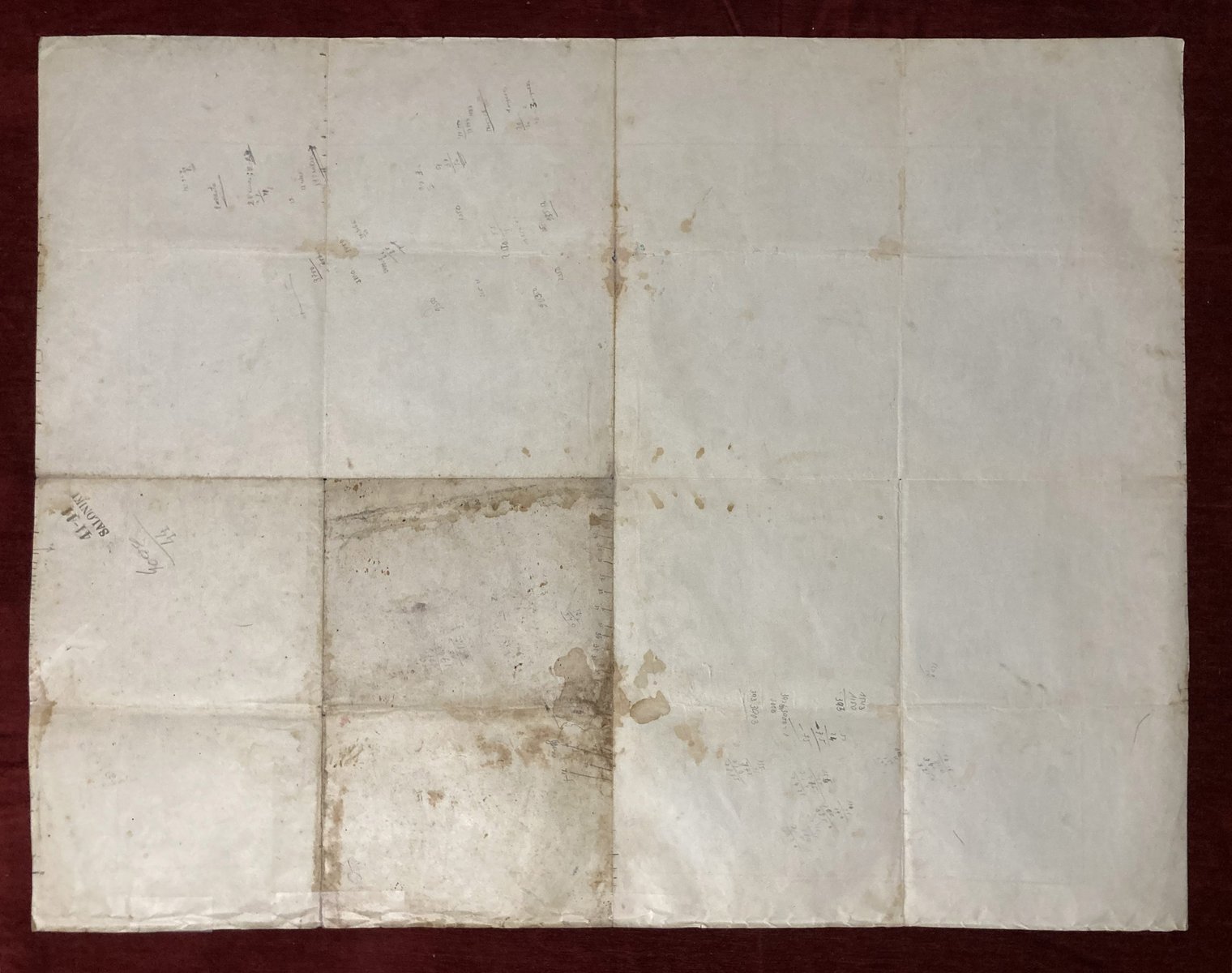
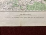
Condition: Signs of folding, minor crumpling and wear on the right edge, stains throughout the paper, few minor holes in the centerfolds, 4cm tear on the top edge taped with paper repair tape. In good condition.
***
For other details and conditions see the scans. If you have any questions, feel free to contact us. More photos are available on demand.
Item will be shipped in a cardboard tube. If you have any additional questions, please contact us.

