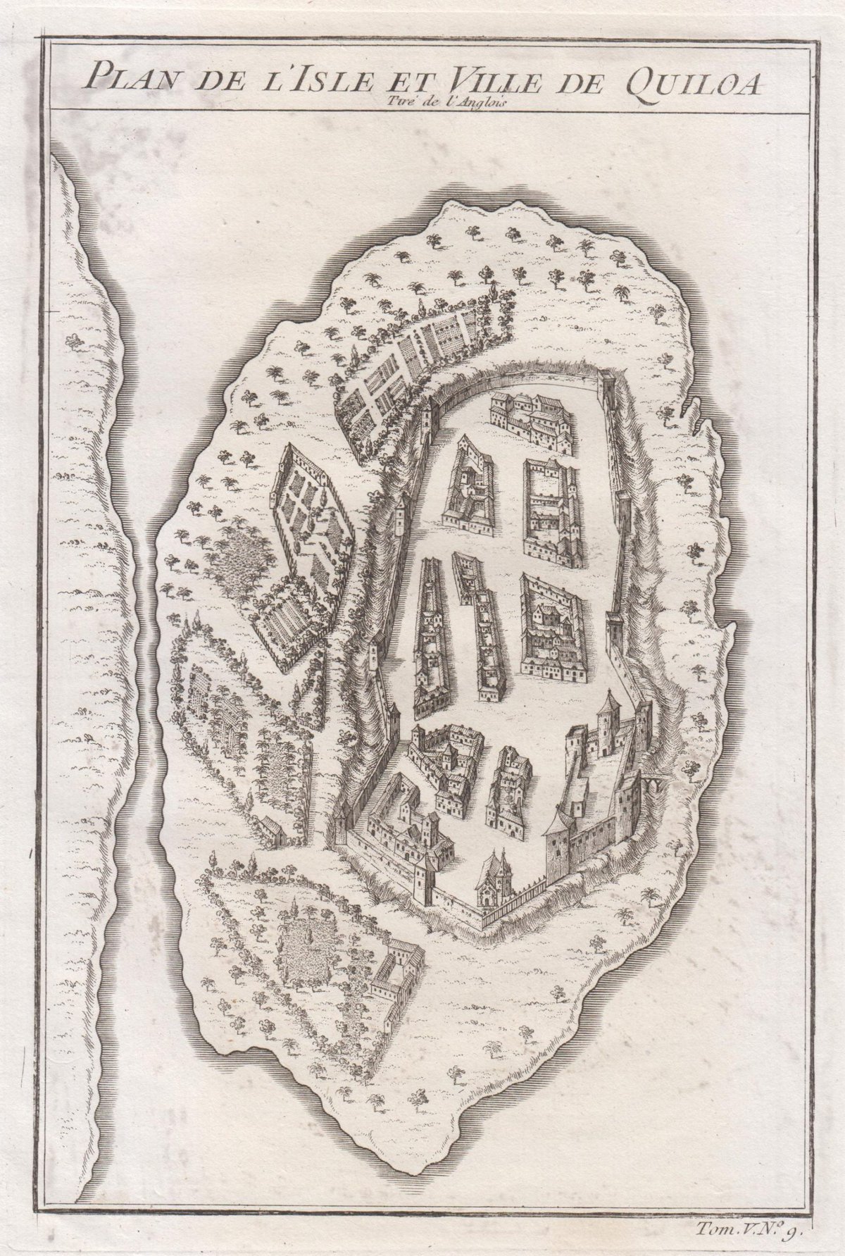
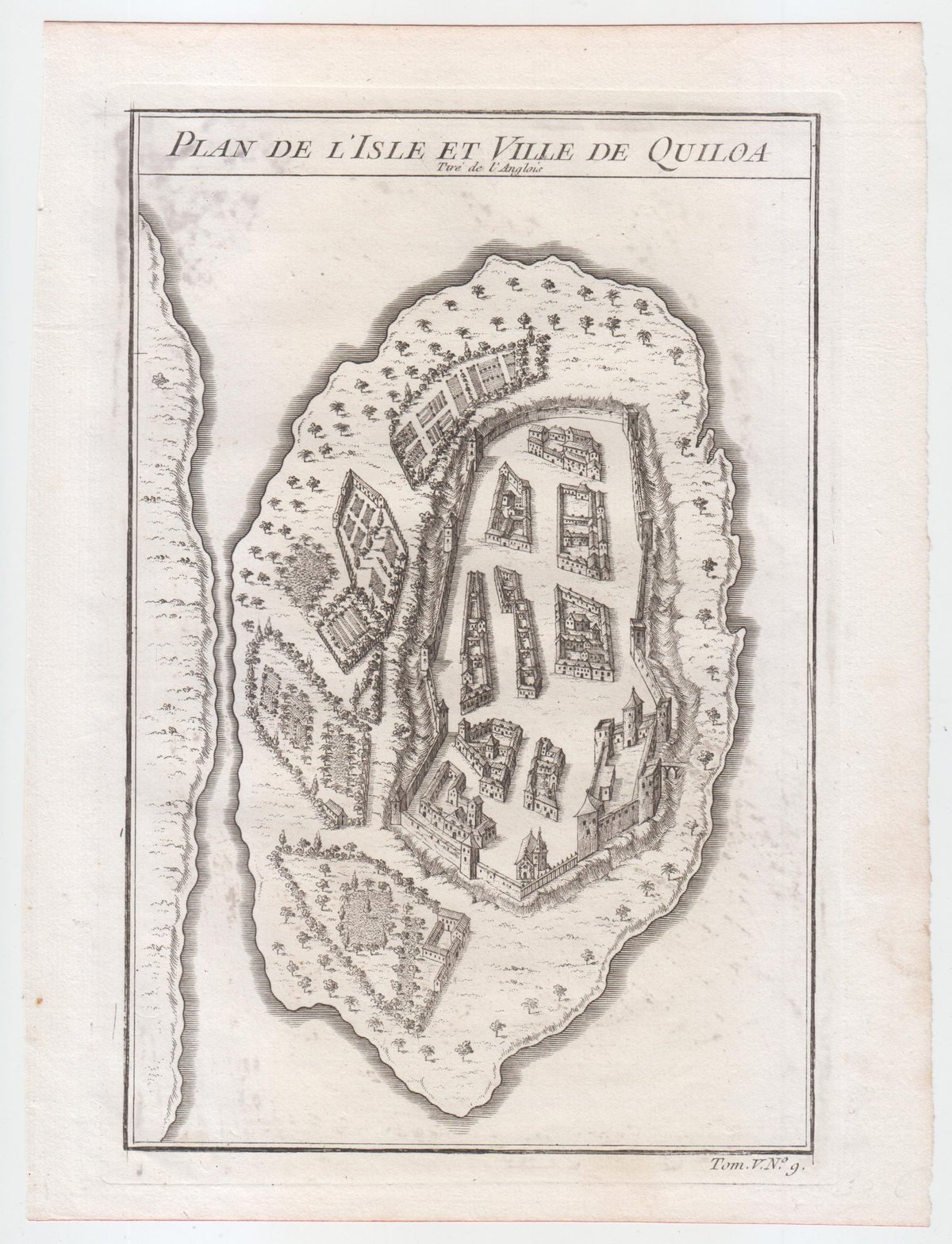
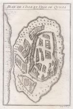
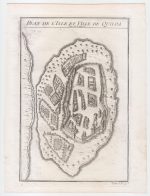
Original Antique Map – Plan de L’Isle et Ville de Quiloa
***
Dimensions: 230 x 140 mm, 9 x 5.5 inches
Year: ca 1748
***
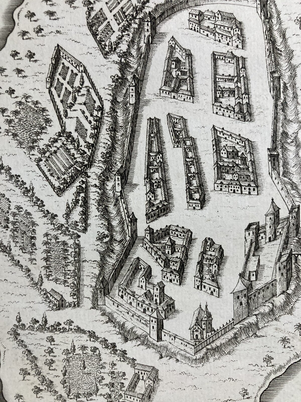
This bird’s-eye-view shows the East African island of Quiloa, now known as Kilwa Kisiwani in Tanzania. Printed circa 1748, the map shows the fort, settlements, and gardens of the island. It dates to a few decades before the Arab conquest of the island, after which the French built a fort at its northern end. The map has a dark impression in very good condition.
Jacques Nicolas Bellin (1703-1772) was the official hydrographer to the French king and the first person to hold the title of “Ingenieur de la Marine of the Depot des cartes et plans de la Marine” (chief engineer of the French Hydrographical Office). He was particularly well-known for his maps of the French Empire, especially the territories in North America. This map is a fine example of his detailed work.
***
Condition: Minimal signs of wear, in very good condition.
***
For details of the item’s condition please refer to the images. If you have any questions, don’t hesitate to contact us!

