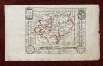
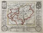
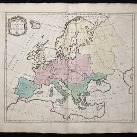
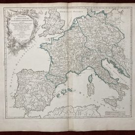
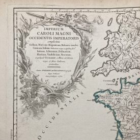
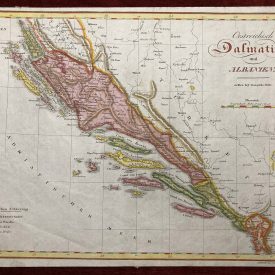
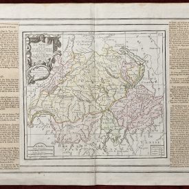
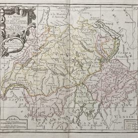
Die Grafschaft Namur. Nach dero Eigentlichen Lager
***
Copperplate engraved map with period colored boundaries by Gabriel Bodenehr. The map depicts the city of Namur, a town and municipality in Wallonia, Belgium. The names of all three towns in this region are shown on the wide margins of the map. The coat of arms is shown in the top right corner.
***
Dimensions: 203 x 157 mm; 8 x 6 inches
Year: 1720
Engraver: Gabriel Bodenehr
Publisher: Bodenehr
From the Atlas: Atlas curieux oder neuer und compendieuser atlas
Place Of Publication: Augsburg, Germanzy.
Technique: Copperplate
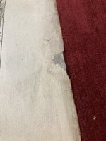
Condition: Some pinholes and minor stains on the margins, the right margin is slightly damaged.
***
The item will be shipped in a cardboard tube.
For other details of item condition, please see the photos. More photos are available on demand. If you have any questions, feel free to contact us.
This is an original antique map. We don’t sell reproductions.