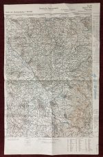
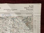
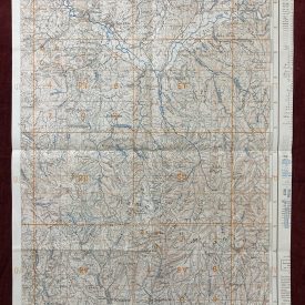
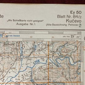
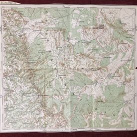
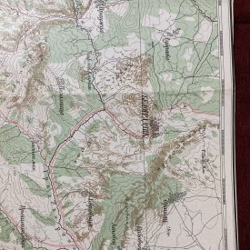
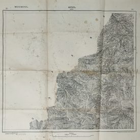
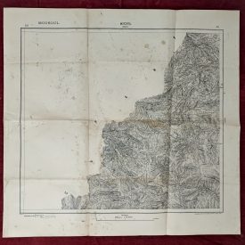
Topographic Map Petrovac South Serbia Nordwestbalkan German 1937 Original Topographic Map Karte de Nordwestbalkan (Serbia) Blatt Nr. 84/1
Topographic map of northwest Balkan with south Serbia. Map is focusing on village Petrovac, near Prokuplje. Printed in German language by original Yugoslavian map in 1937. Map is showing part of south Serbia, it’s villages and mountains. From Kučevo in north to Jošanica in south. Map is showing confidential military information about geographic positions in south Serbia.
***
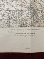
Dimensions: 63,5 x 44,5 cm. Scale: 1 : 50.000
Year: 1937. Printed by Militargeogr. Instituts Beograd
***
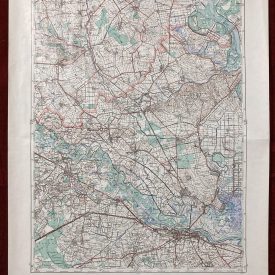
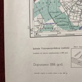
Condition: Folded as issued, cut.
***
For other details and condition see the photo.
***
This item will be shipped in a strong cardboard tube.