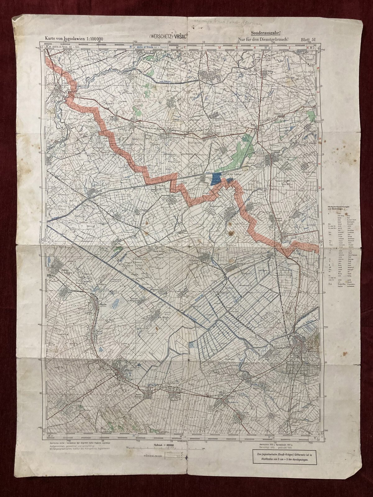
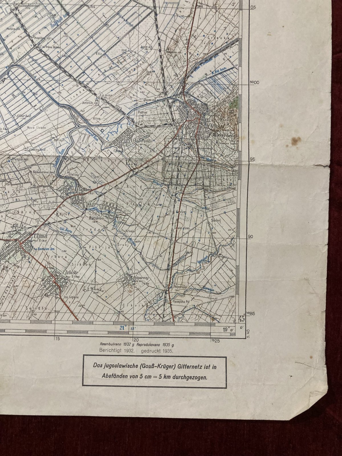
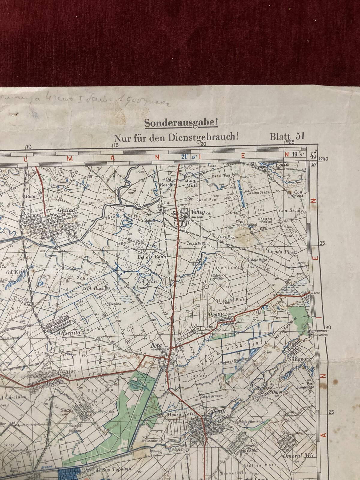
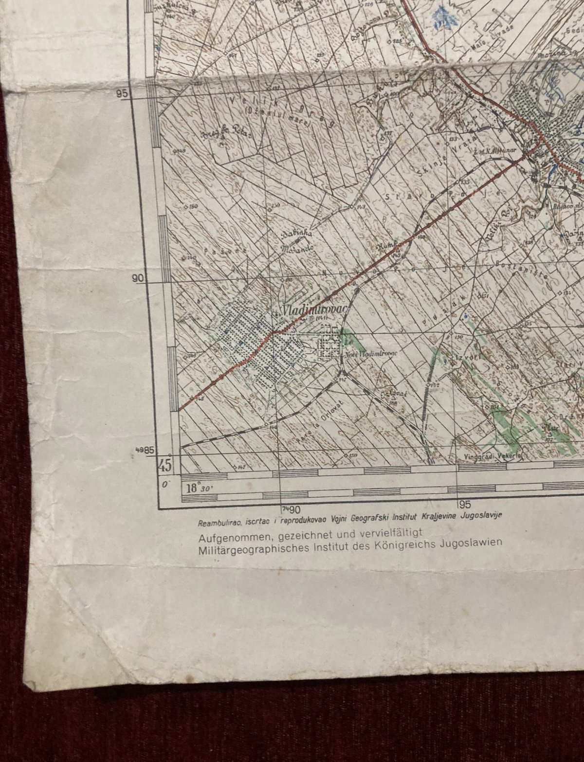
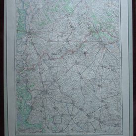
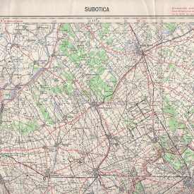
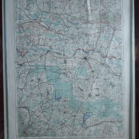
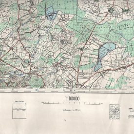
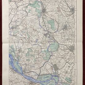
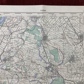
Vrsac Topographic Map from the Interwar period
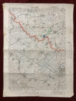
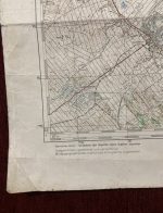
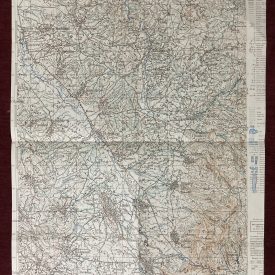
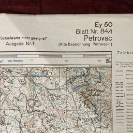
An original military topographic of Vršac in the Banat region of the kingdom of Yugoslavia. Translated from Serbian to German, reprinted but without note on the place of publication.
***
Size of print: 65 x 50 cm
Year: 1935.
Language: German.
Publisher: Vojni Geografski institut Kraljevine Jugoslavije.
Scale: 1:00000.
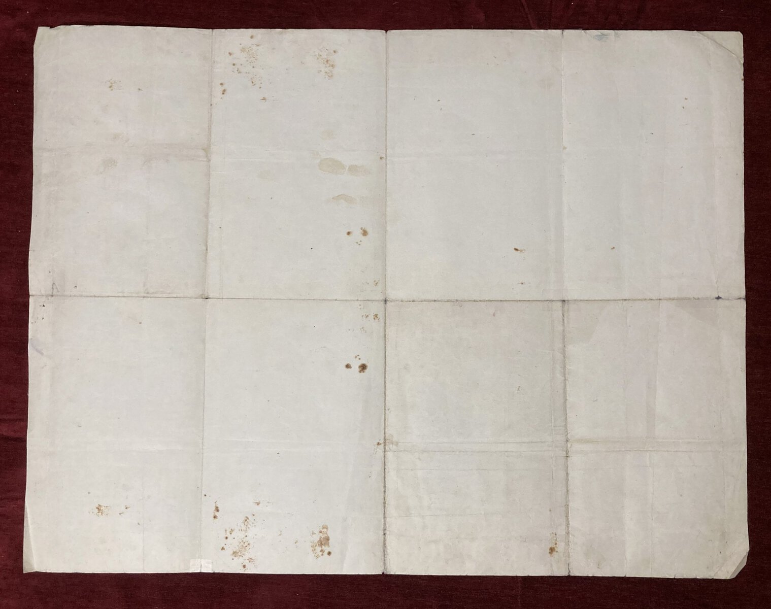
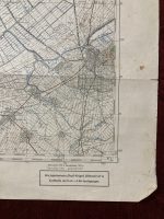
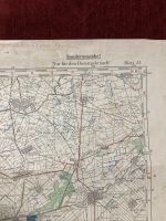
Condition: Lines of folding, paper yellowing due to age, stains throughout the map. Tears along the folding lines taped with paper repair tape. In good condition.
***
For other details and conditions see the pictures. If you have any questions, feel free to contact us. More photos are available on demand.
Item will be shipped in a cardboard tube. If you have any additional questions, please contact us.

