***
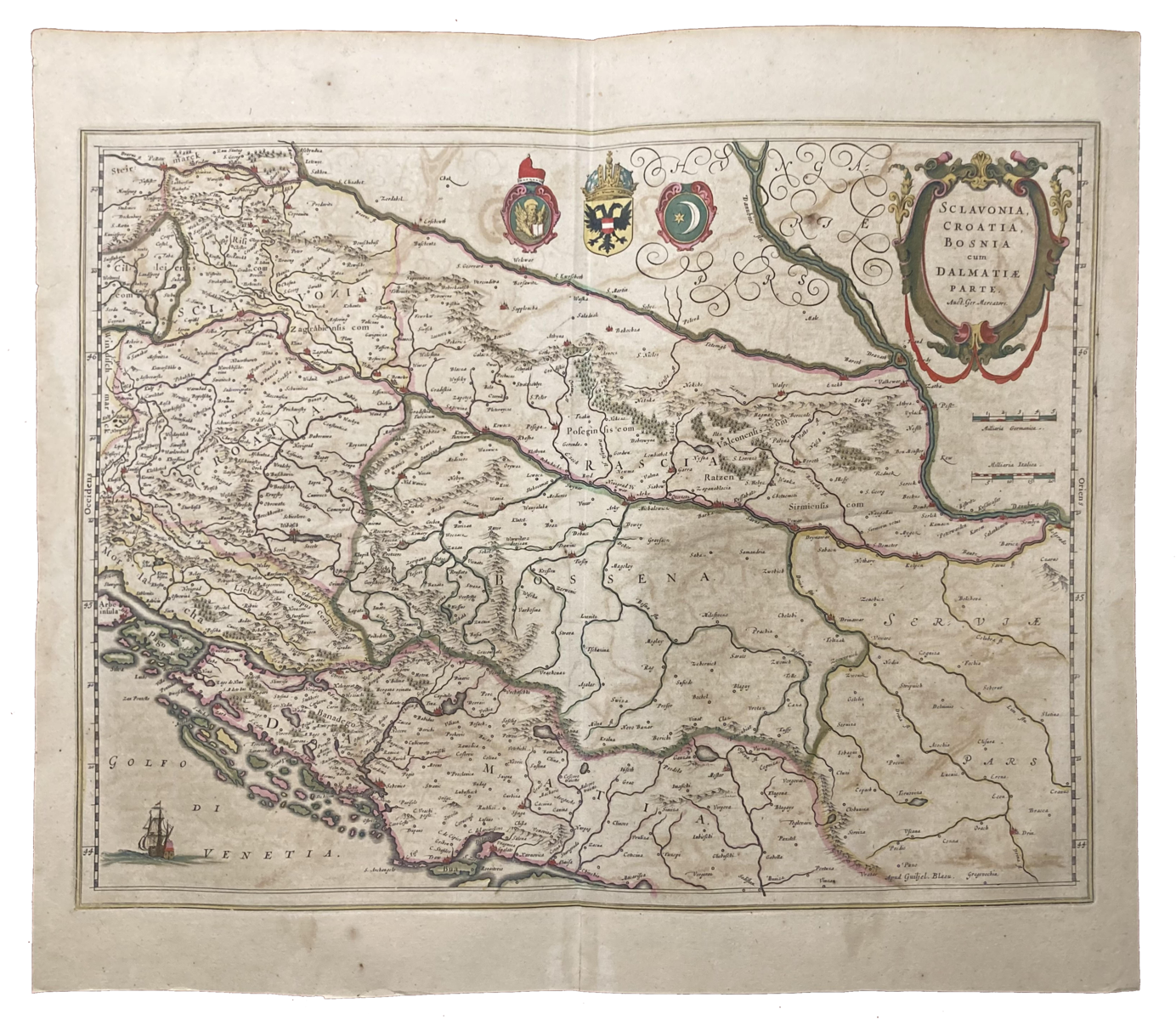
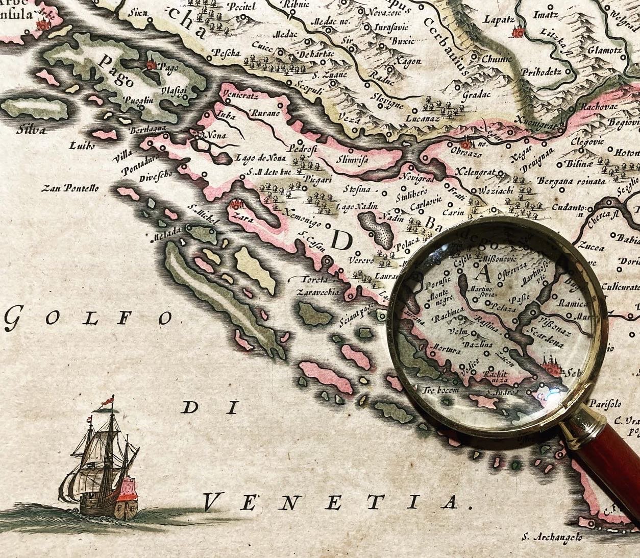
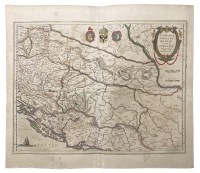
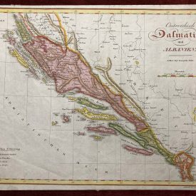
“Sclavonia, Croatia, Bosnia cum Dalmatiae Parte” is a historic map from 1640 created by renowned cartographer Gerard Mercator. This map is considered a remarkable representation of the Balkan region during the early 17th century and is one of the region’s earliest and most accurate maps.
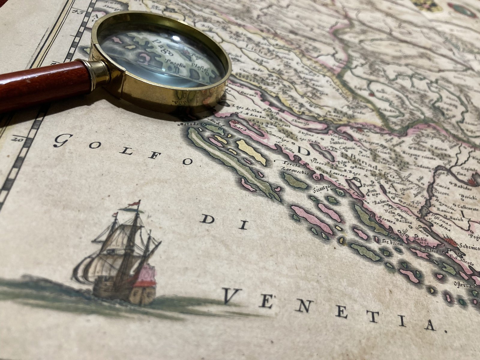
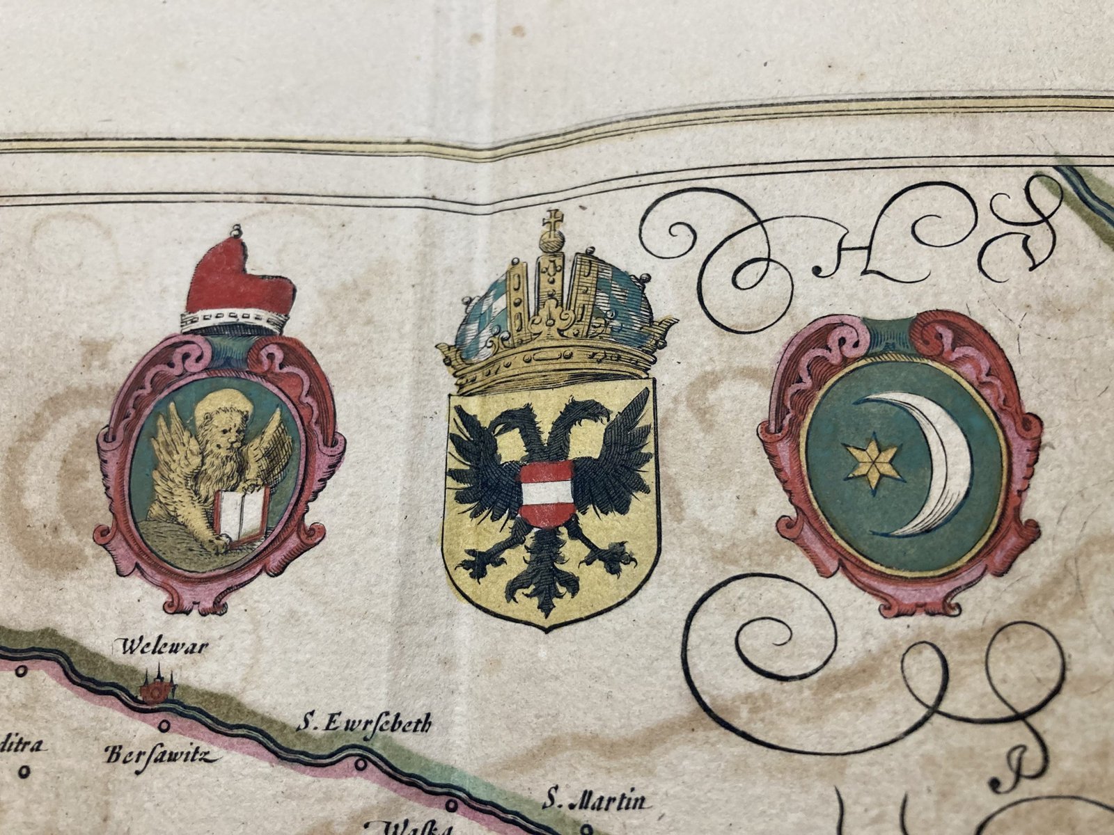
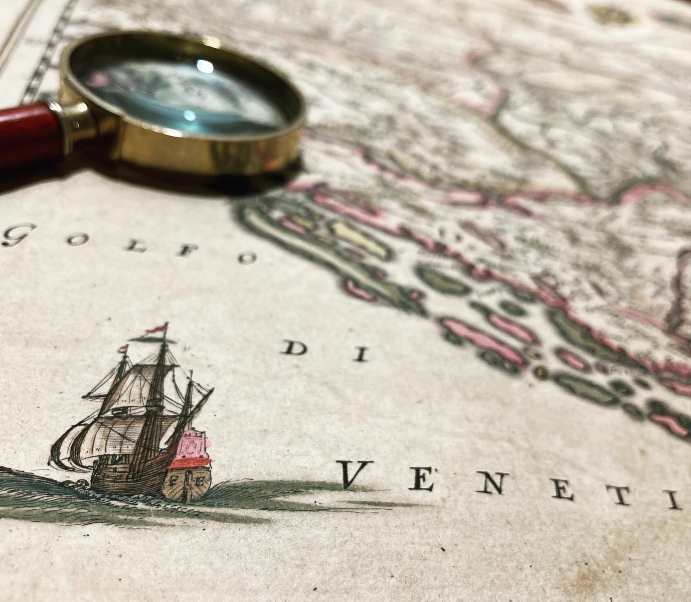
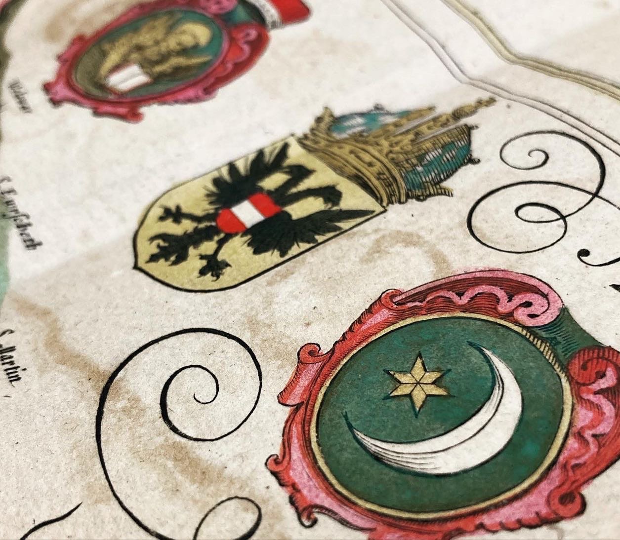
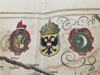
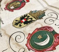
This copperplate engraved map depicts the region of the Balkans, including present-day Slovenia, Croatia, Bosnia and Herzegovina, and parts of Serbia, Montenegro, and Albania. The map features intricate details and information, including topographical features, cities, and regional borders. The title cartouche can be found in the top right corner, with three large coats of arms. The figure of the sailing ship is in the bottom left corner.
One of the most striking features of this map is the level of detail and accuracy. Mercator’s maps were known for their precision, and this map is no exception. The topographical information is carefully drawn, and the geographical locations are accurately represented. This map provides a fascinating glimpse into the understanding of the geography of the Balkans during the early 17th century and the level of cartographic knowledge at the time.
***
Author: Gerardus Mercator
Publisher: Blaeu
Atlas: Atlas Novus
Technique: Copperplate engraving
Year: [1643]
Size: 52 x 47 cm; 20 x 18 inches (approximately)
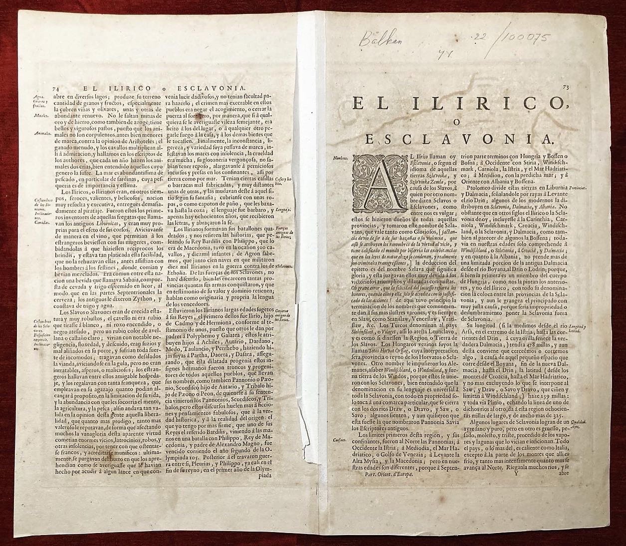
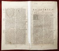
Condition: Signs of folding, some stains, the map is in excellent condition in general.
***
For details on the condition, please see the pictures. If you have any questions, feel free to contact us.
***
This item will be shipped in a cardboard tube.

