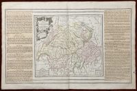
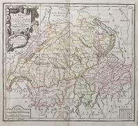
La Suisse Divisée En Ses Cantons, Ses Allies et Sujets
***
Dimensions (approximately): 50,5 x 33,5 mm, 20 x 13 inches
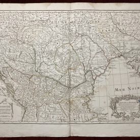
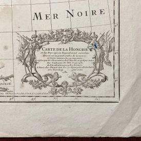
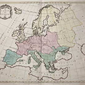
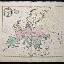
Year: 1764
***
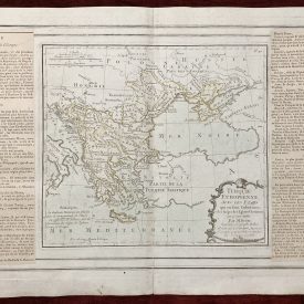
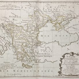
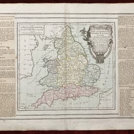
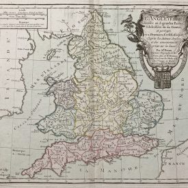
Antique 18th-century copperplate atlas map with original hand color. The flanking columns of descriptive text were stuck onto the sheet at the time of publication. The map is showing the territory of Switzerland and northern Italy.
From “Atlas General méthodique et élémentaire, pour l’étude de la géographie et de l’histoire moderne”. Folding map.
***
Condition: Signs of folding. Few minor imperfections and stains, in good condition overall.
Artist: Louis Desnos.
***
For other details and condition see the scans. If you have any questions, feel free to contact us.
***
Note:
This is an original antique engraving. We don’t sell reproductions.
Item will be shipped in cardboard tube.