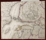
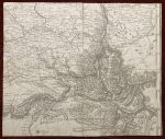
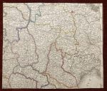
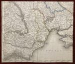
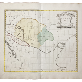
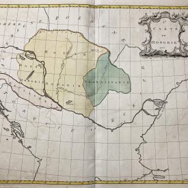
Large map of Russia
By Ivan Danielov
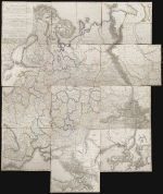
Carte des europäisch- und eines Theils des asiatisch-russischen Reichs nach den neuesten astronomischen Ortsbestimmungen den grossen Atlas und andern Karten des russisch-Kaiserl. Karten-Depots verfasst, in Gouvernements eingetheilt, die Grentzen nach den letzten Friedenschlüssen berichtiget, dann die Post- und andere Hauptstrassen mit Bemerkung der Ortsentfernungen eingetragen. Carte de la partie europeene et asiatique de l’Empire de Russie […].
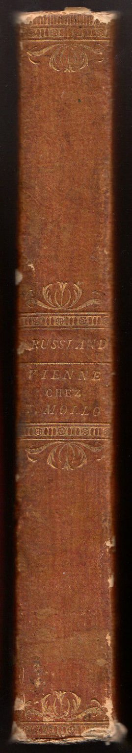
Wien, Tranquillo Mollo, 1812.
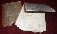
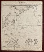
Engraved map, printed on 12 sheets + 1 explanatory sheet, with title in German and French, in original slipcase with spine lettered in gilt.
Dimensions: 147 x 130 cm (58 x 51.25 inches) when mounted together. Slipcase: 19 x 21,6 cm.
The slipcase is a bit soiled, but otherwise in fine condition.
A fine, large folding map of Western Russia was printed in the year of the Napoleonic campaign. The map covers west to east from Danzig to Toblosk and north to south from Kielvig to Erzelum.
***
For detailed item’s condition please see the photos. If you have any additional questions, don’t hesitate to contact us!