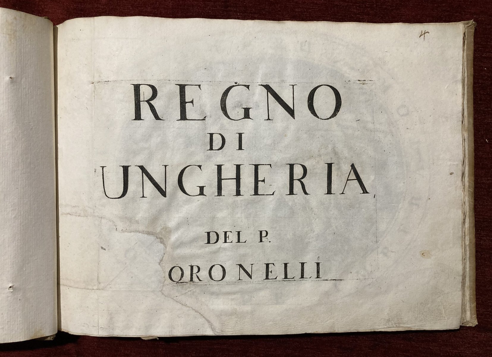
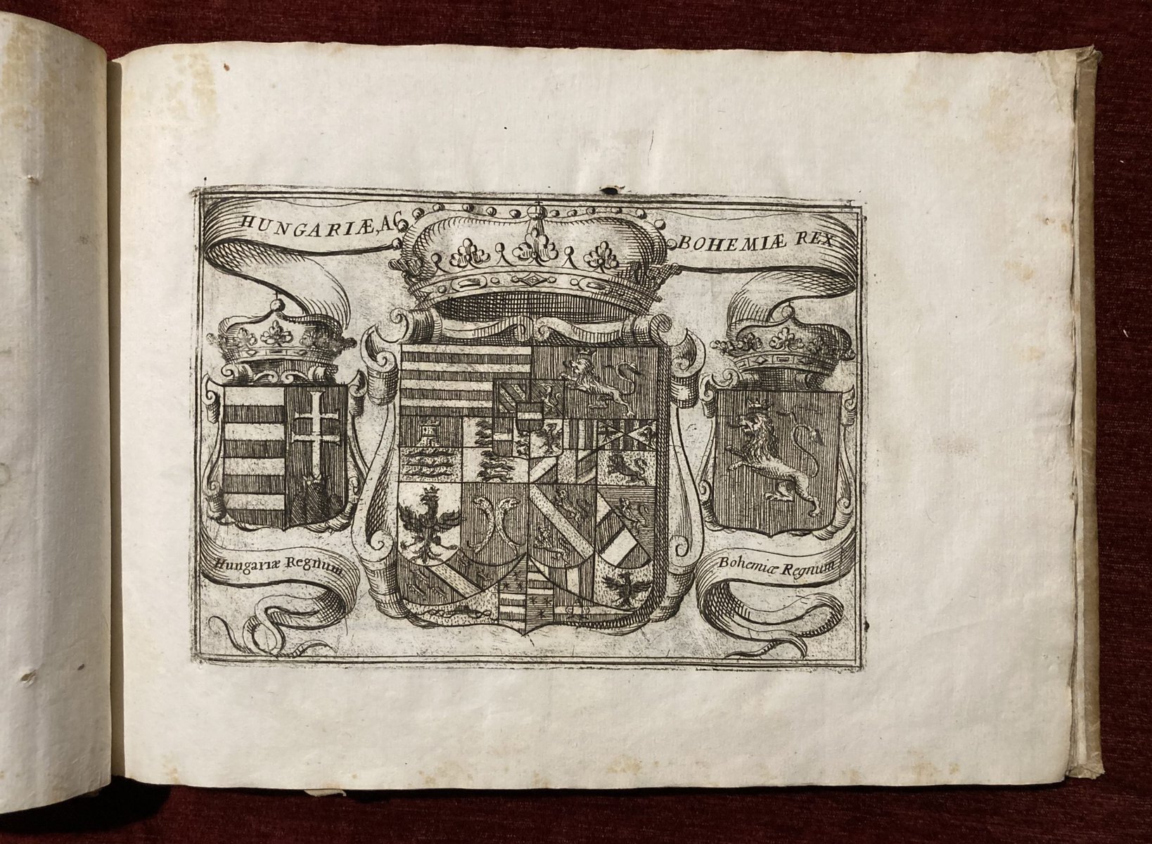
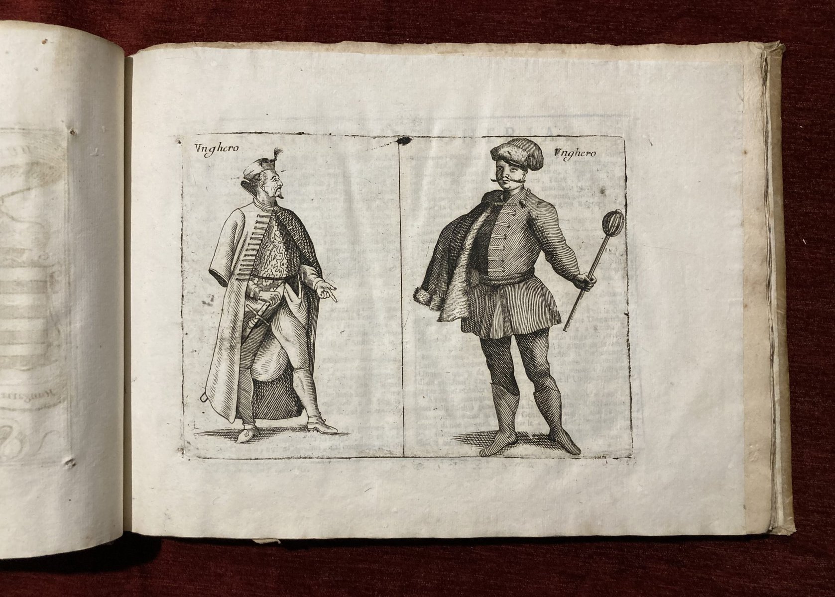
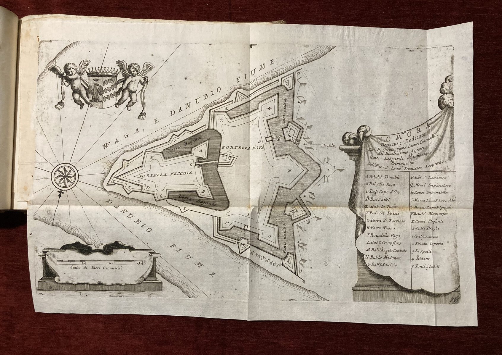
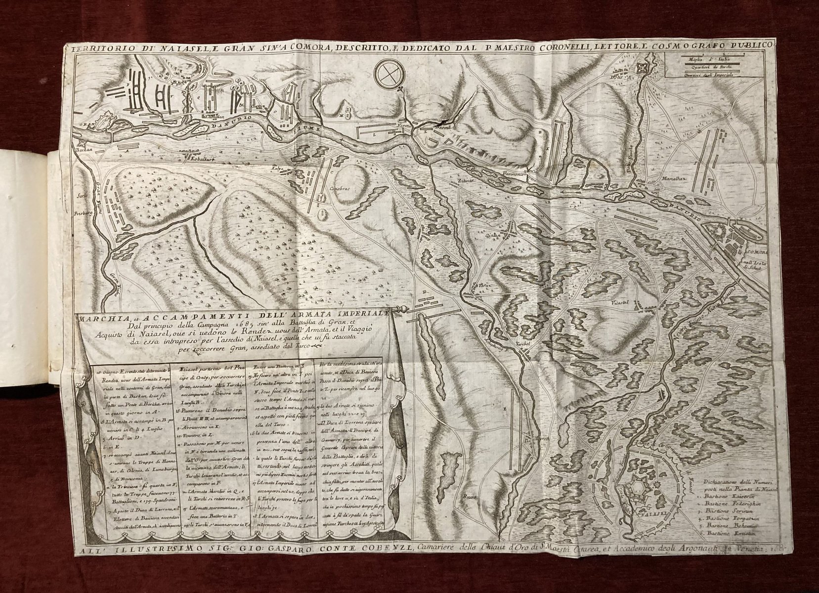
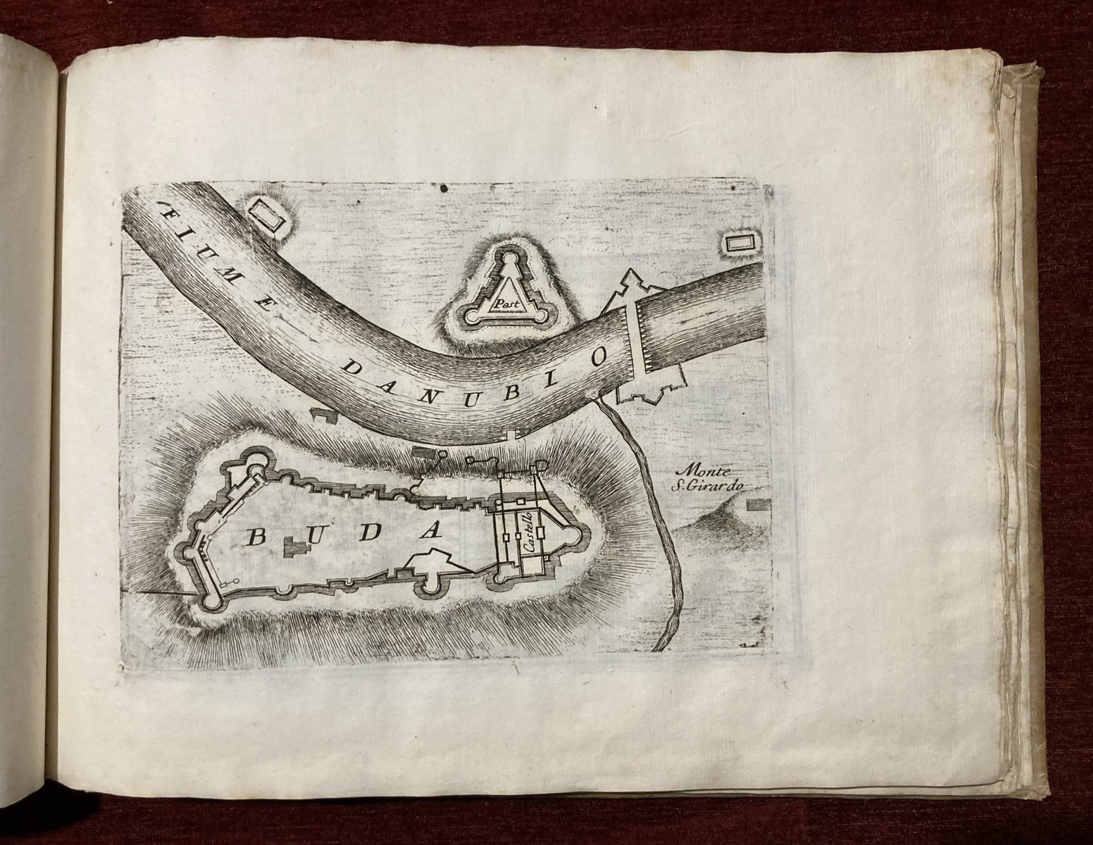
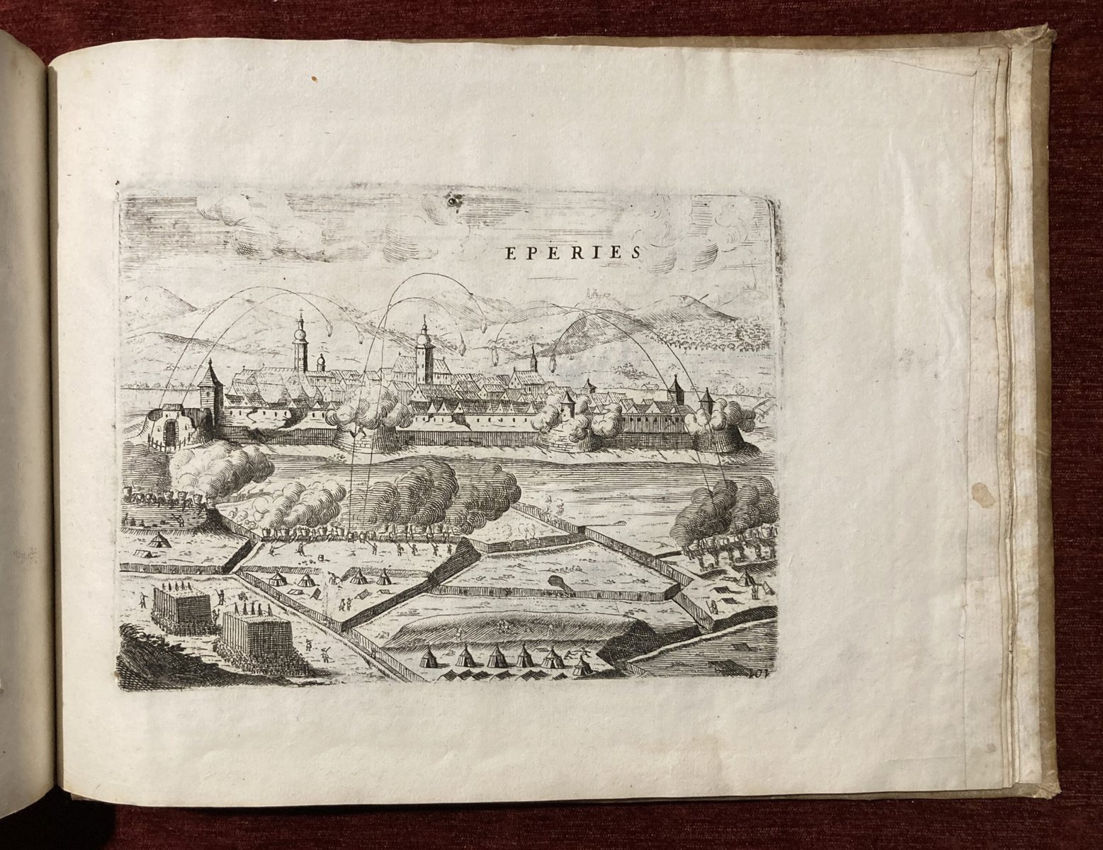
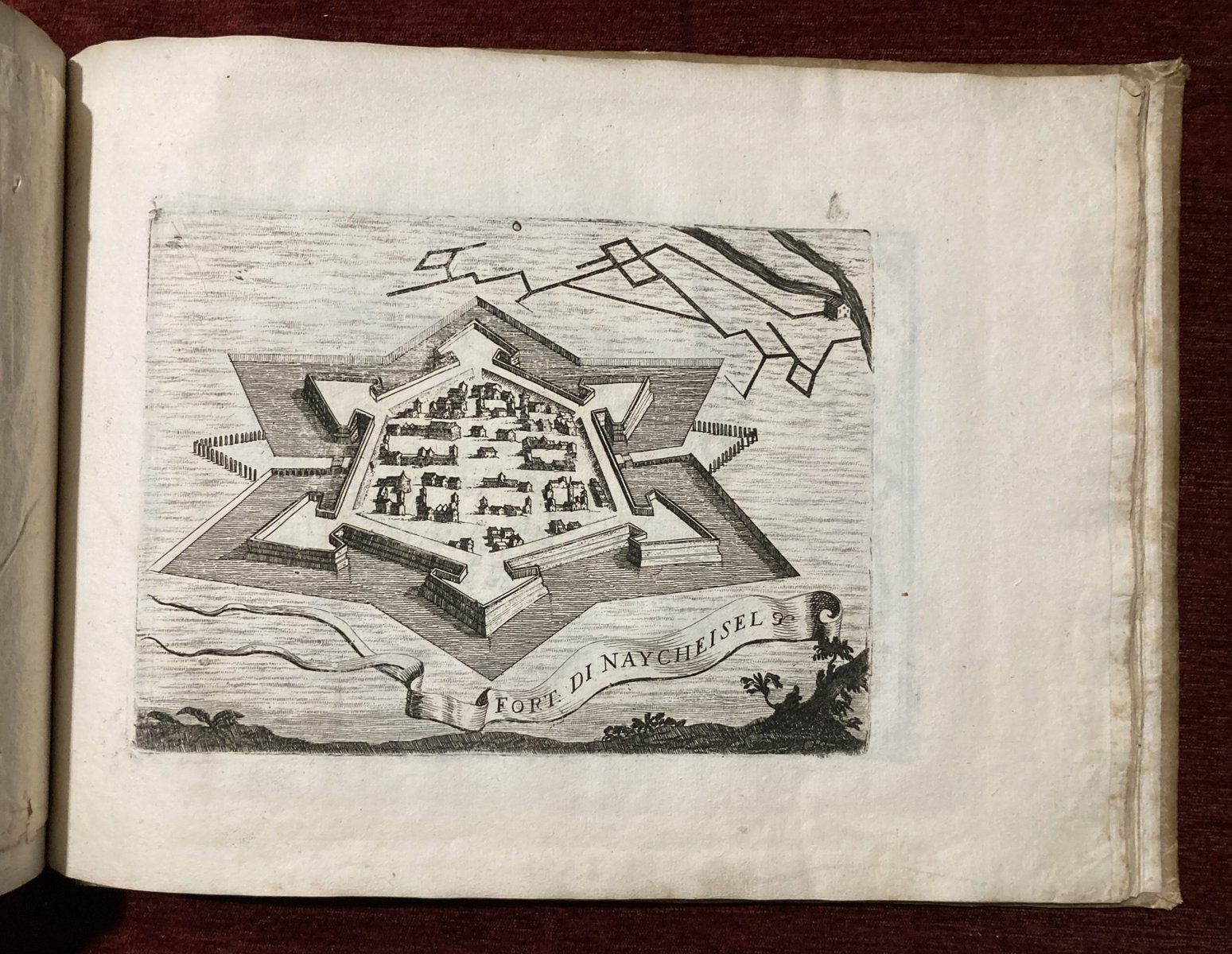
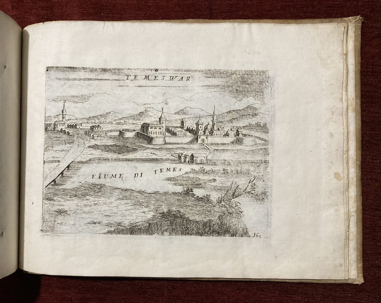
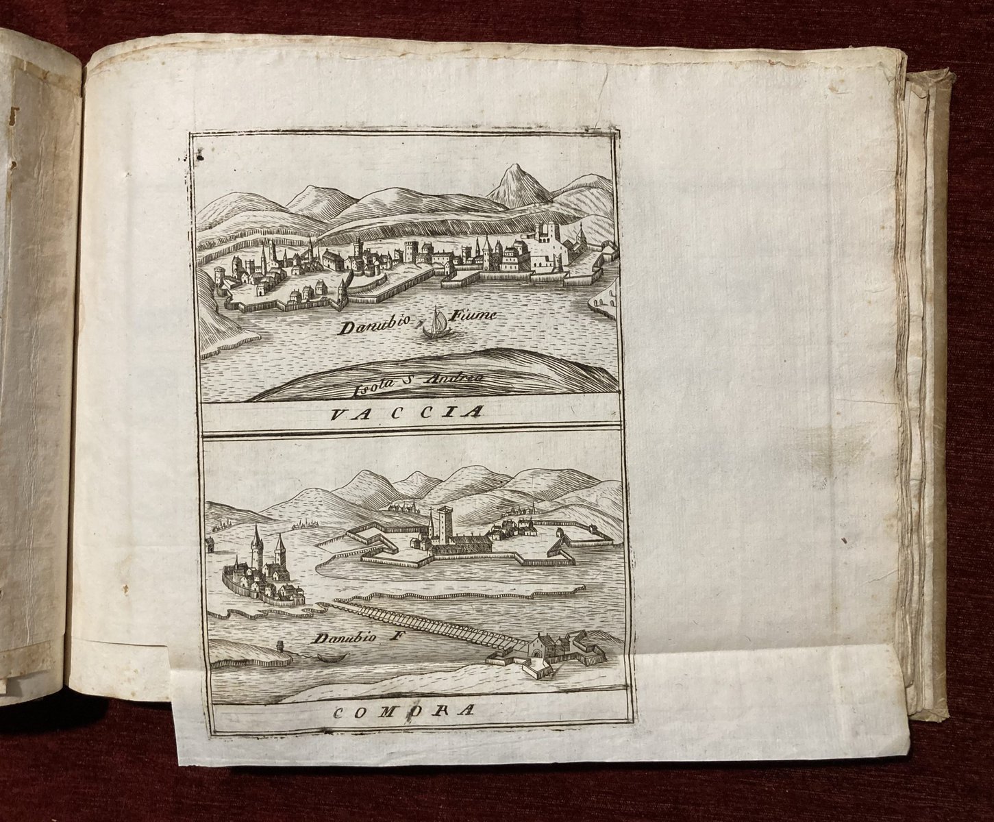
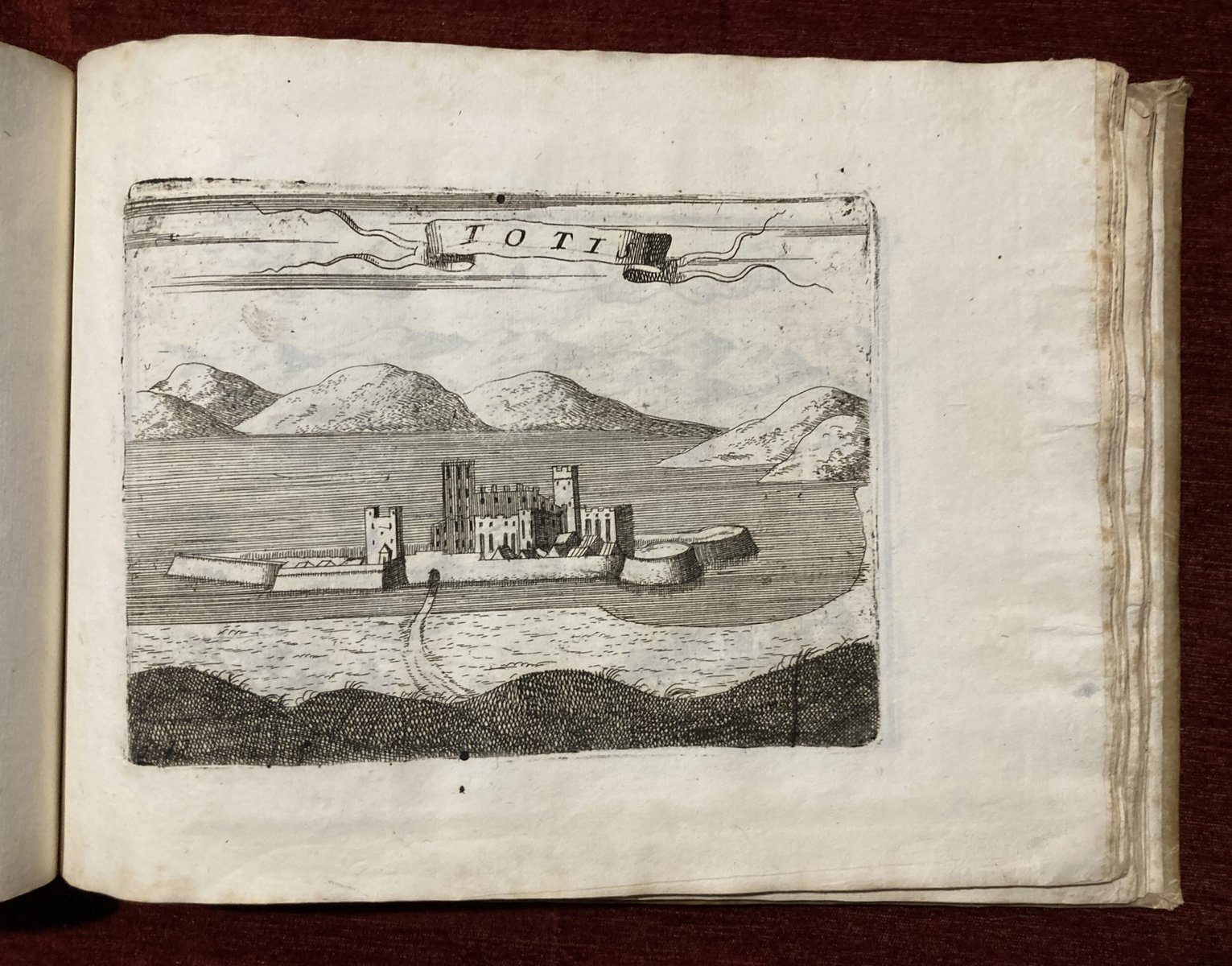
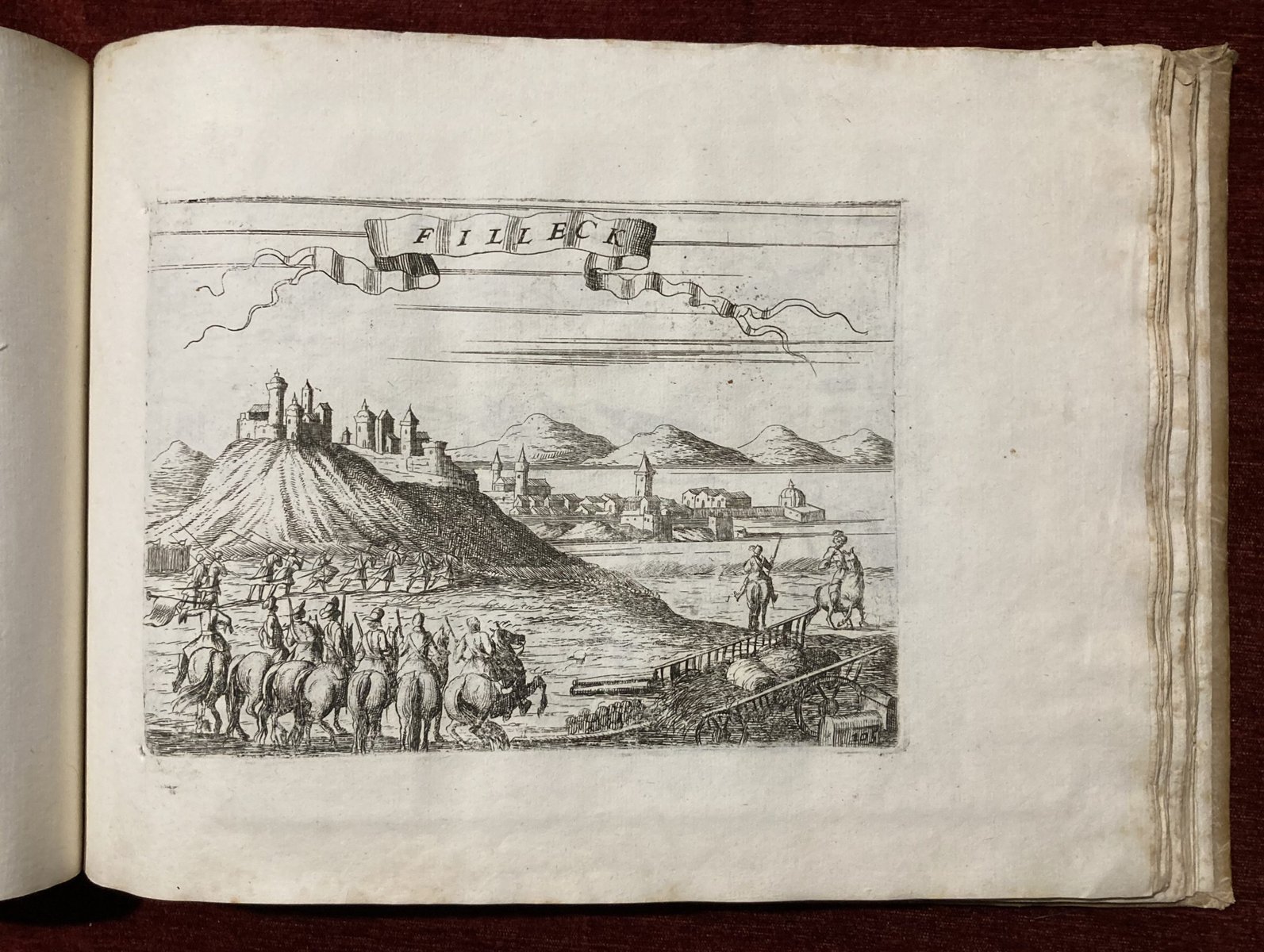
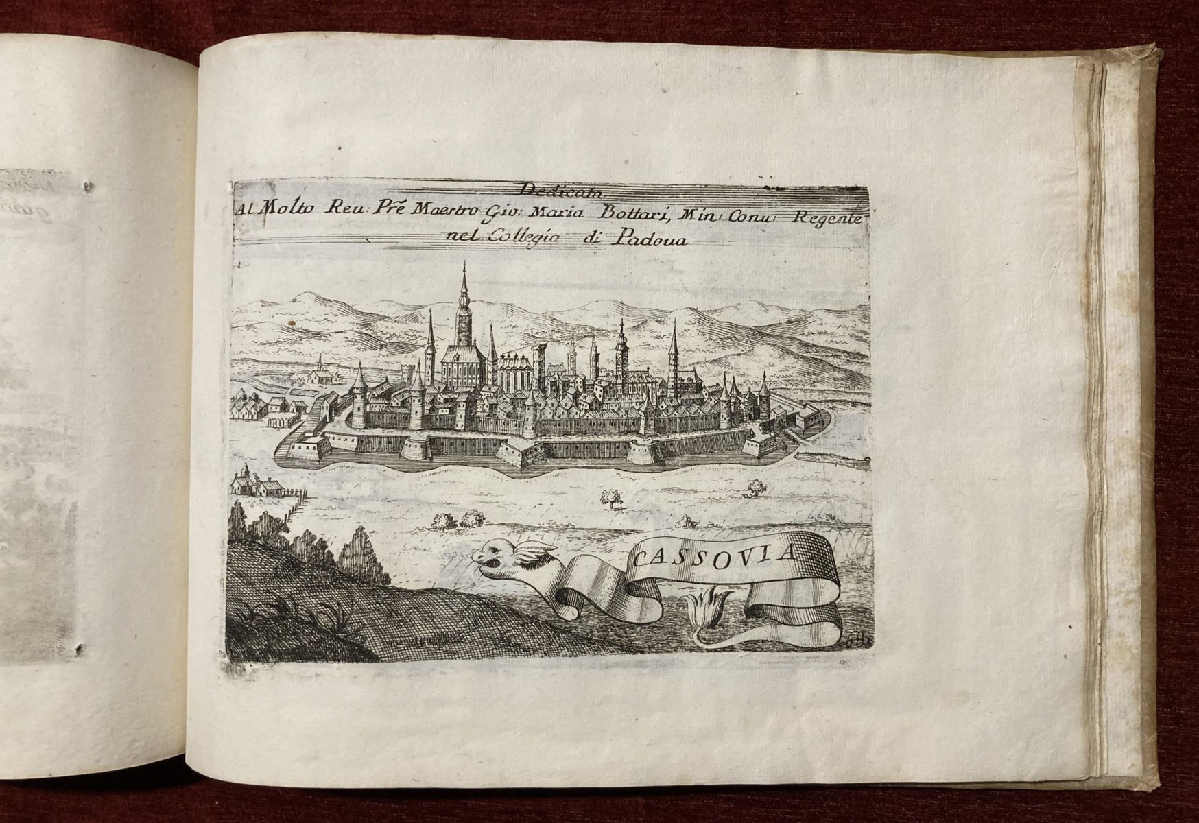
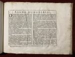
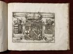
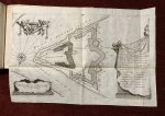
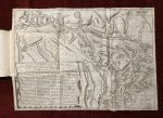
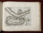
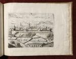
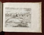
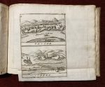
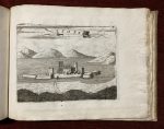
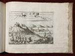
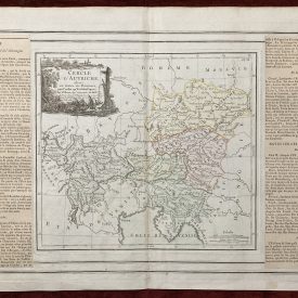
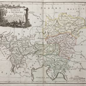
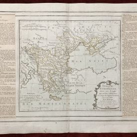
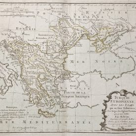
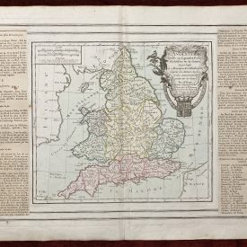
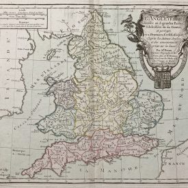
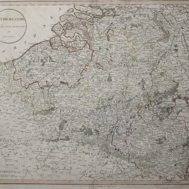
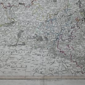
“Regno di Ungheria” is a collection of maps by the renowned cartographer Vincenzo Coronelli, probably published around 1706. Each map offers a detailed glimpse into the landscapes, cities, and landmarks of Hungary during the early 18th century.
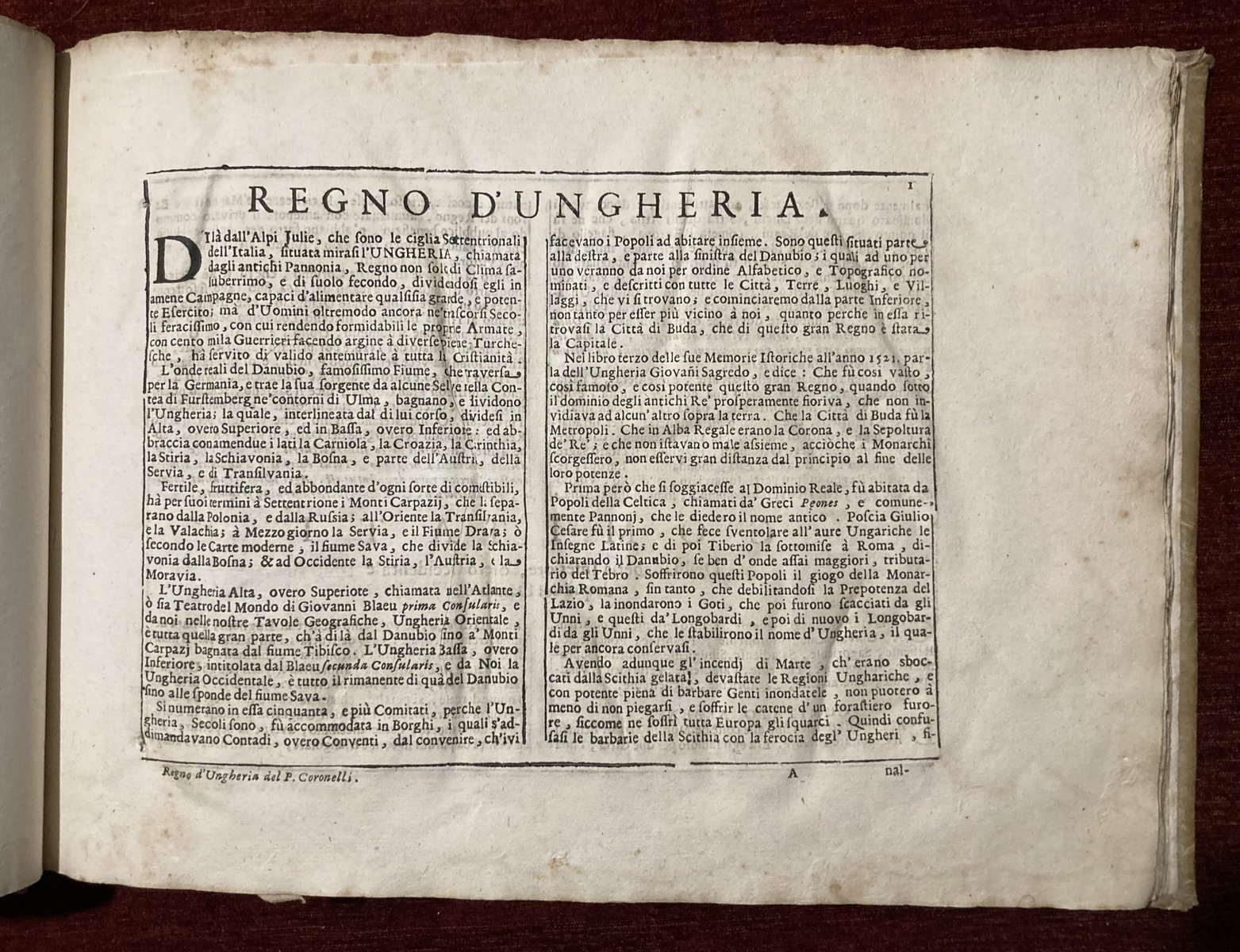
With precision and clarity, Coronelli’s maps capture the essence of Hungary’s geography, from its bustling cities to its tranquil countryside and river Danube. Accompanying text provides context, shedding light on the political and cultural landscape of the time.
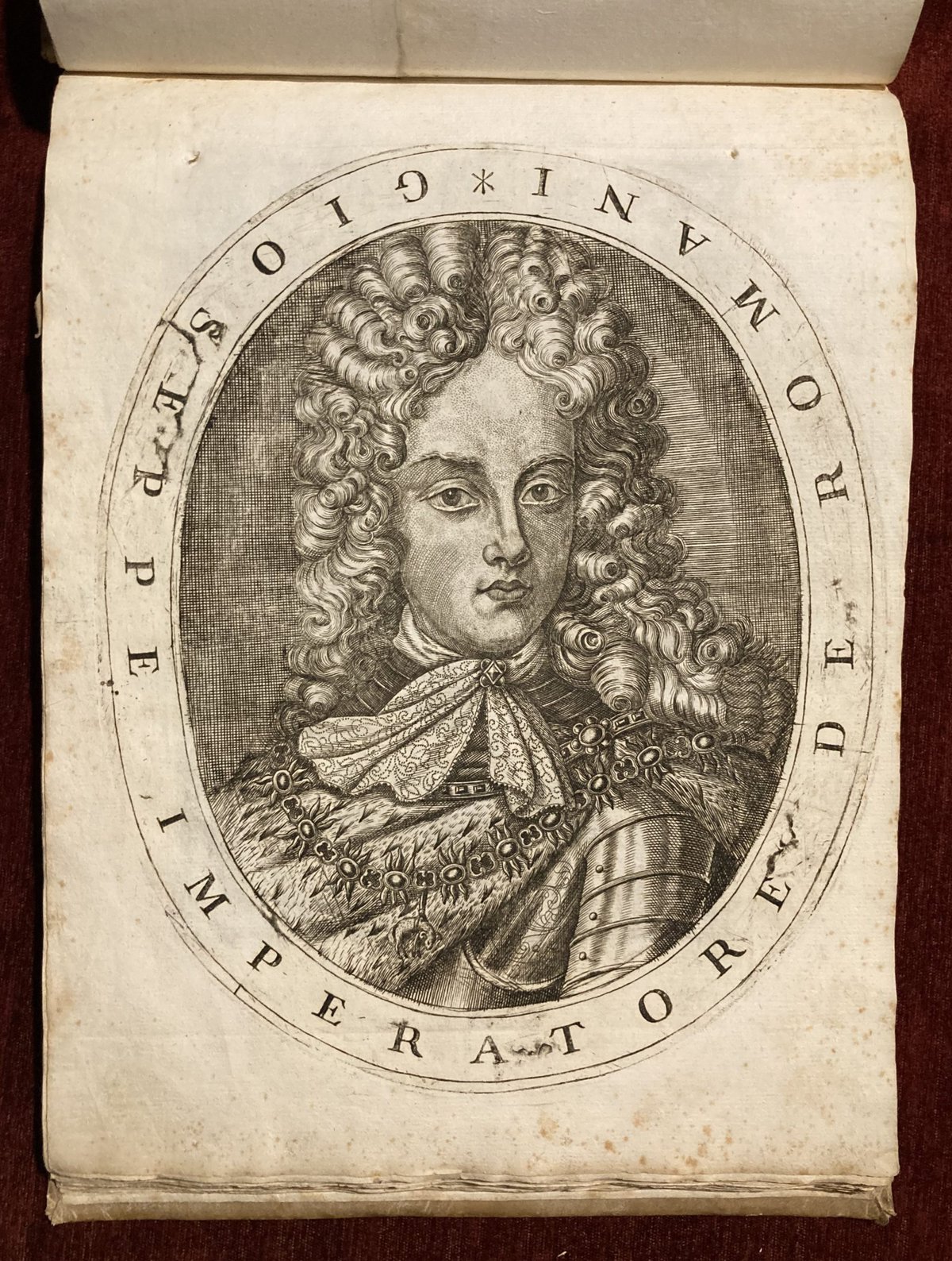
The collection also includes a portrait of Joseph I, Holy Roman Emperor who ruled the Habsburg Monarchy from 1705 to his death in 1711.
“Regno di Ungheria” is a valuable resource for historians and enthusiasts alike, offering a window into Hungary’s past. Whether you’re studying the region’s history or simply appreciate the Coroneli’s craftmanship, this collection will surely captivate you.
Halle, Johann Jacob Gebauer, 1802.
Pp.: 24 plates
Size: 21 x 13 cm
Description
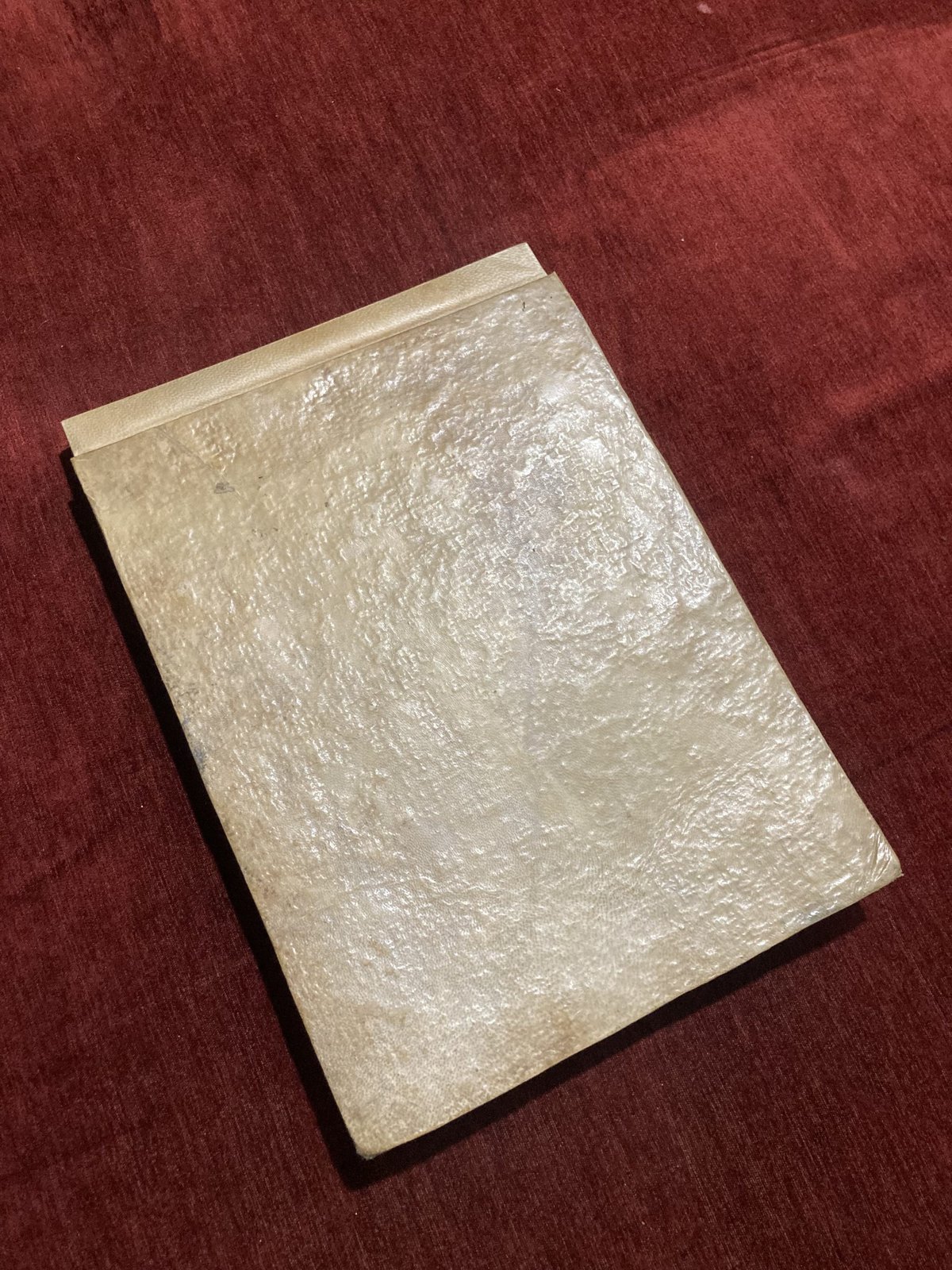
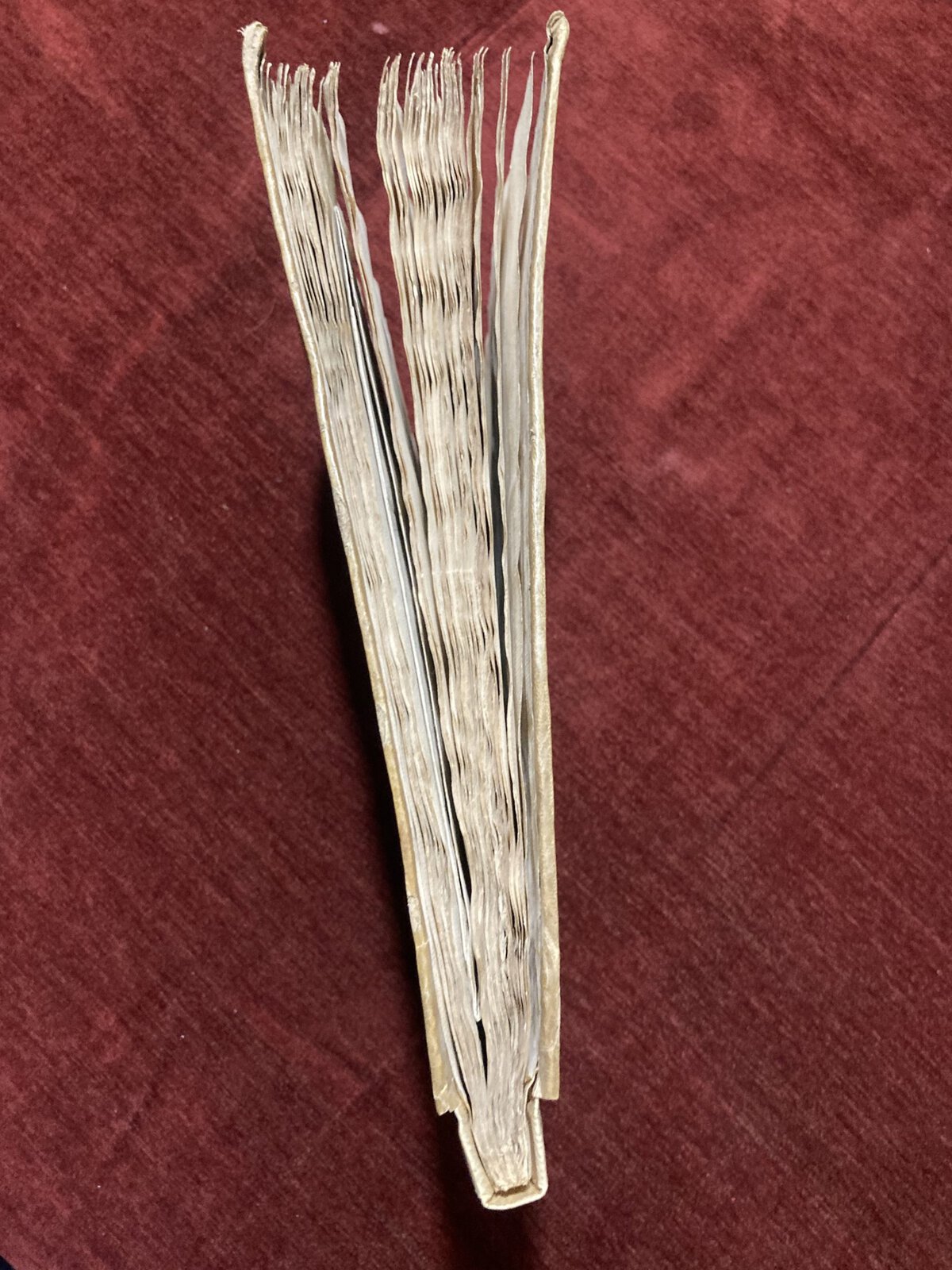
Binding: Vellum binding. Renewed spine cover, minor wrinkles, stains.
Condition: Pencil inscription on the front pastedown paper, flyleaf, and back pastedown paper. The inscription on the back pastedown paper suggests that the book was printed in Napoli (Naples) in 1706. Two minor holes on the paper near the spine, parallel to the spine throughout the book, which are remains from the original binding. 10 leaves of text are wrinkled. Foxing. The bottom left corner of the title page renewed, “C” is missing from Coronelli. Restored.
Minor wormhole on the plate No. 19, not affecting the engraving. Stain in the top right corner on the plates No. 30, 34, 38, 41, 48. Top of the plate No. 54 missing (not in the boundaries of Veduta). Minor tear on the folded map, plate No. 60 (1,5 cm). Stain at the bottom on the plates No. 62, 63, 73, 79, 81, 83. Plate No. 84 was damaged and renewed (not affecting the engraving).
According to pagination, the following plates are missing: half-title pages, 11, 22, 33, 44, 55, 72. Additionally, 50 or 51 are missing, impossible to determine without another copy to compare.
Missprints: Names from the textboxes missing on the following engravings: 36, 52, 63.
Dimensions of the plates vary.
Folded plates: No. 19 (30 x 44 cm), No. 20 (25,5 x 21 cm), No. 35 (25,5 x 44 cm), No. 40 (29 x 18 cm), No. 60 (63,5 x 45 cm).
Pagination used as reference was the one present on the second last leaf of the book, (Pp.: 85, visible on pictures).
***
For item condition and details see the scans. For any additional questions feel free to contact us, we are eager to answer all of your questions!
Worldwide DHL shipping is included.

