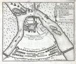
BELGRAD (Beograd) Nach seiner izigen Situation und Befestigungs-Wercken,sambt Kays. Und Turksichen Retranchements
A map from Bodenehr’s atlas of the Force d’Europe, known for its historical depictions of battles in Europe at the time. The title cartouch with the legend can be found in the upper right corner of the print. The plan also includes flows of the rivers Danube and Sava, and the positions of the Ottoman armies. The plan is oriented northeast.
***
Dimensions: 21 x 17 cm; 8.25 x 4.5 inches
Year: [1720]
Engraver: Gabriel Bodenehr
Atlas/From the series: Force d’Europe
Publisher: Verlag Stridbeck
Place Of Publication: Augsburg
Technique: Copperplate
Condition: In excellent condition.
***
The item will be shipped in a cardboard tube.
For other details of item condition, please see the photos. More photos are available on demand. If you have any questions, feel free to contact us.
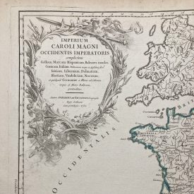
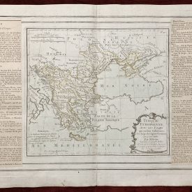
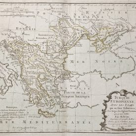
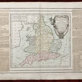
This is an original antique map. We don’t sell reproductions.