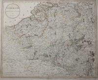
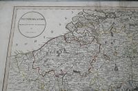
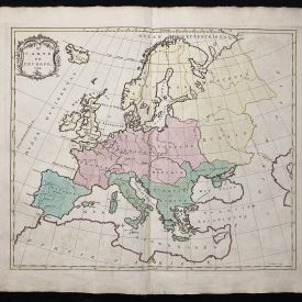
Netherlands Drawn from the best authorities
An antique map of the Netherlands and parts of the bordering countries. Extremely detailed map, the borders are partially colored. It was engraved by J. Russell, and printed in London in 1801.
***
Dimensions: 51 x 42 cm (approx), 20 x 16,5 inches
Year: 1801
Engraver: J. Russel
Publisher: G.G. & J Robinson and J Mawman
Place Of Publication: London
Technique: Copperplate
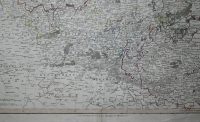
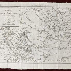
Condition: Some lines of folding, the map is a bit stained along the edges, with some minor tears also present. Please check the scan for any blemishes prior to making your purchase. Virtually all antiquarian maps and prints are subject to some normal aging due to use and time which is not obtrusive unless otherwise stated. We offer a no-questions-asked return policy.
***
The item will be shipped in a cardboard tube.
For other details of item condition, please see the photos. More photos are available on demand. If you have any questions, feel free to contact us.
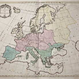
This is an original antique map. We don’t sell reproductions.