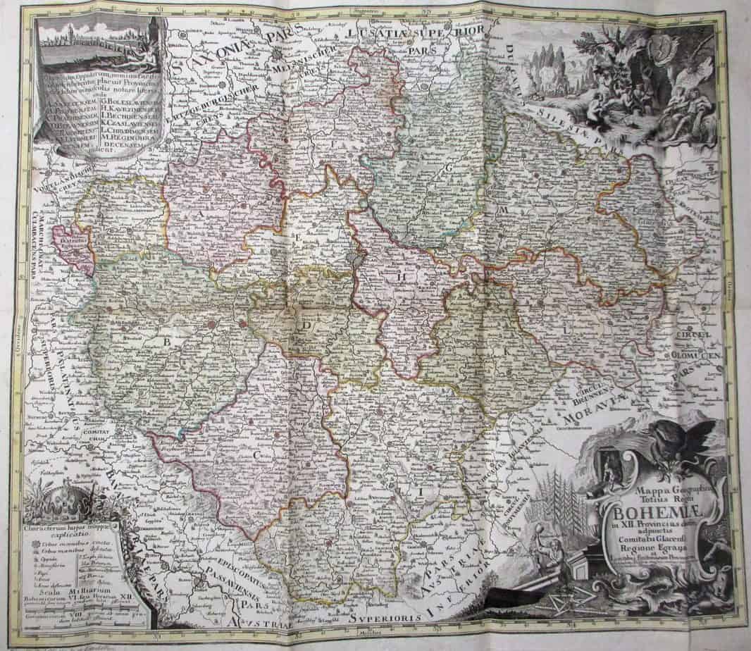
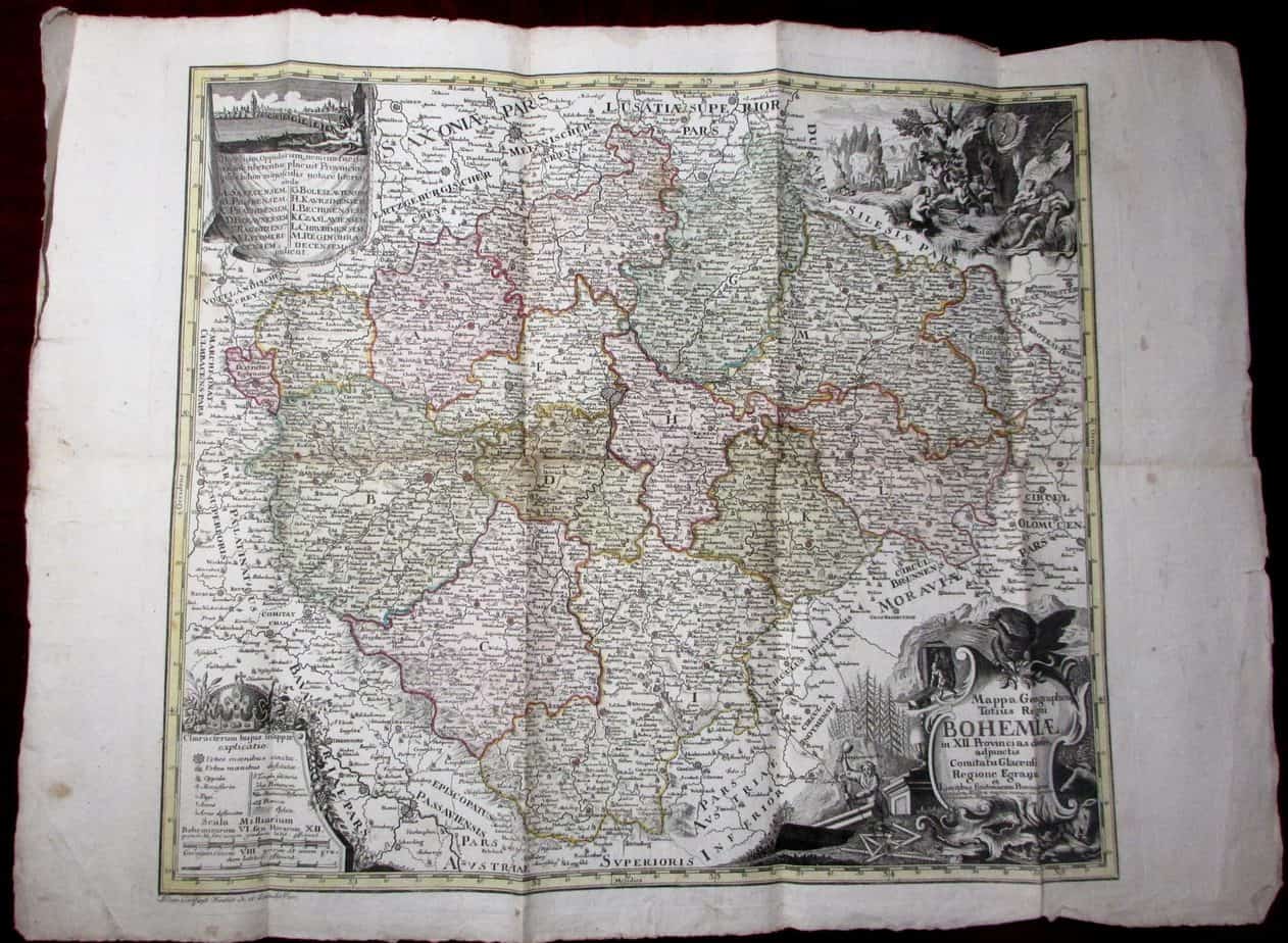
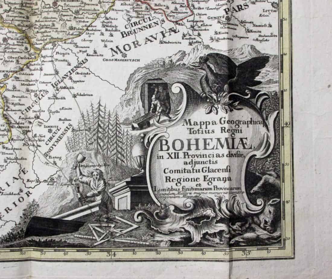
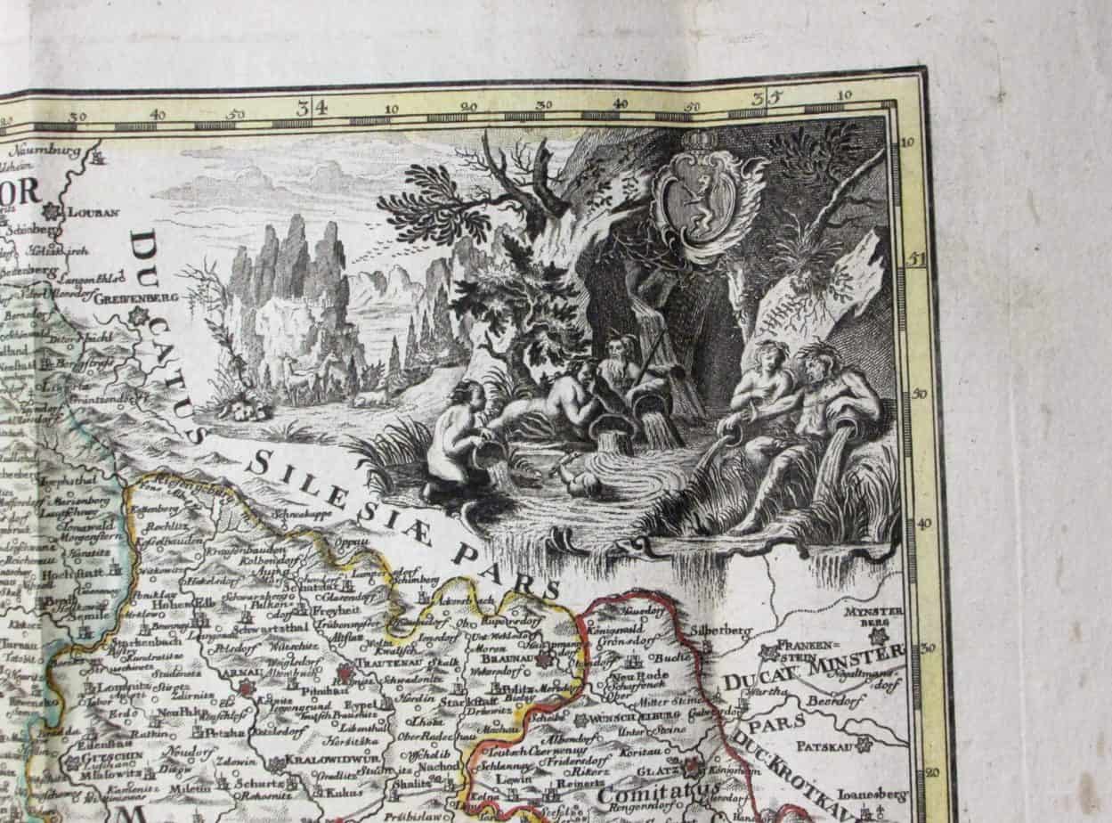
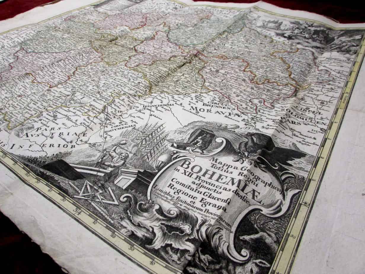
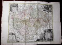
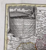
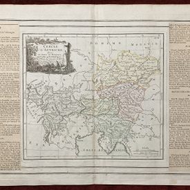
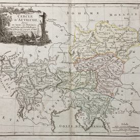
Mappa Geographica Totius Regni Bohemiae
Provincias divisae, adiunctis Comitatu Glacensi Regione Egrana et Limitibus finitimarum Provinciarum
***
Engraved by: Philipp Gütl
Dimensions: 540 x 460 mm
Year: [1790]
Place of publication: Vienna
Publisher: Joseph von Kurzböck
***
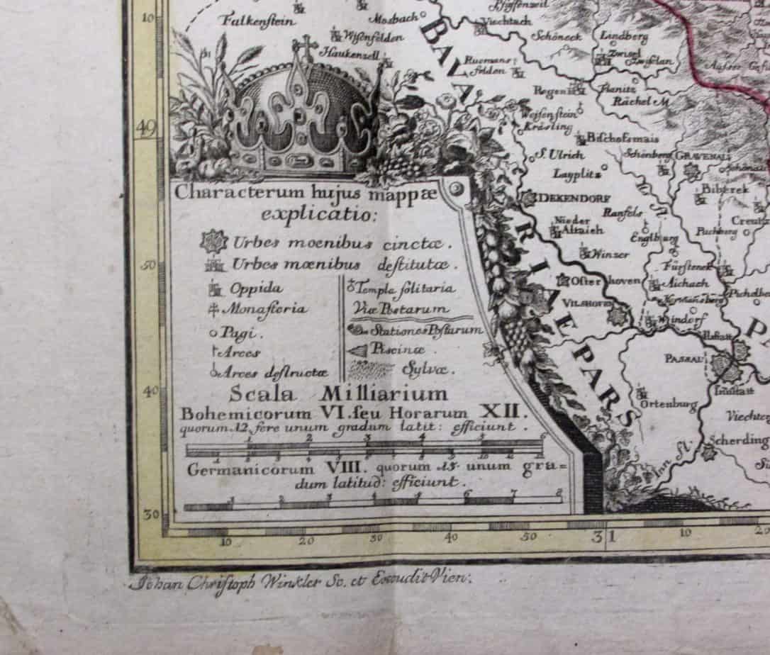
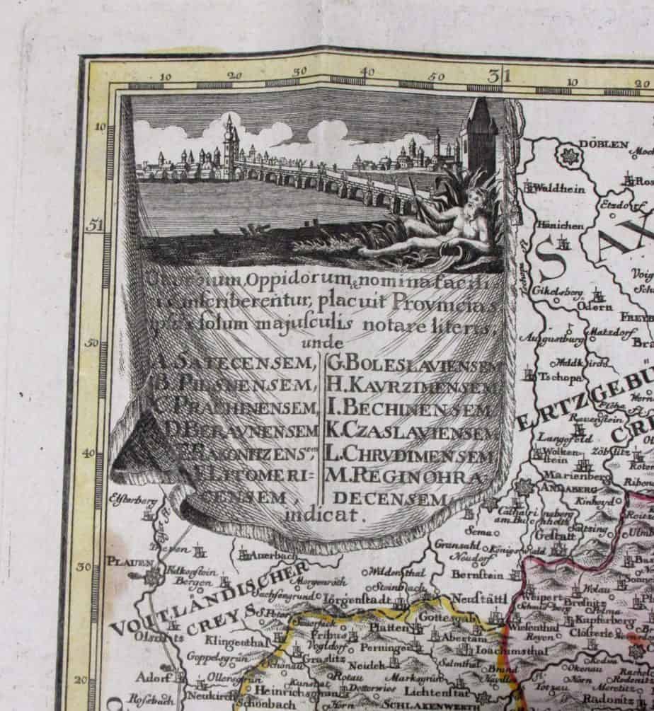
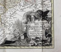
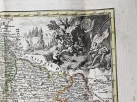
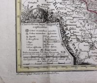
Mappa Geographica Totius Regni Bohemiae, a fine and rare example of the map from the 18th century. Engraved by Philipp Gütl. Beautiful hand-colored edition with title cartouche, miles, and two decorative cartouches.
***
Condition: Signs of folding, minor traces of wear, in good condition.
***
For other details and detailed condition of the item, please see the scans. If you have any questions, feel free to contact us.
***
Note: This is an original antique engraving. We don’t sell reproductions.

