***
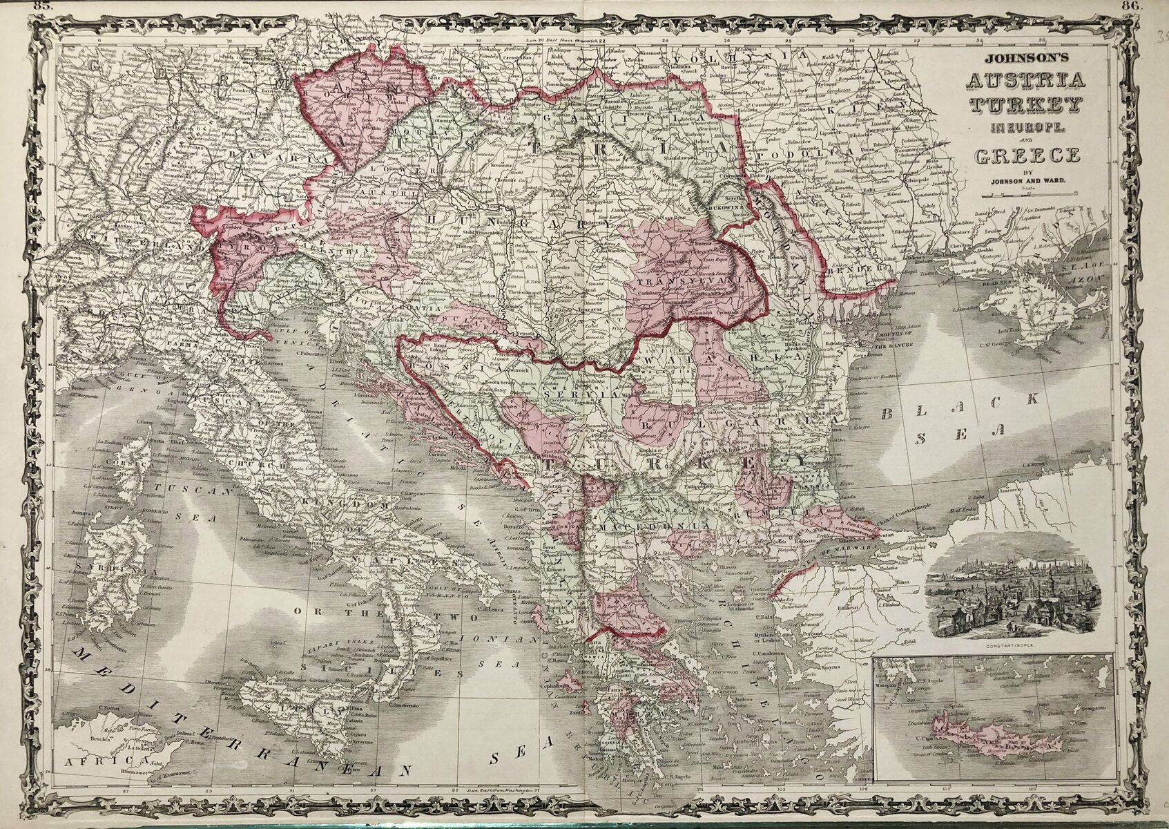
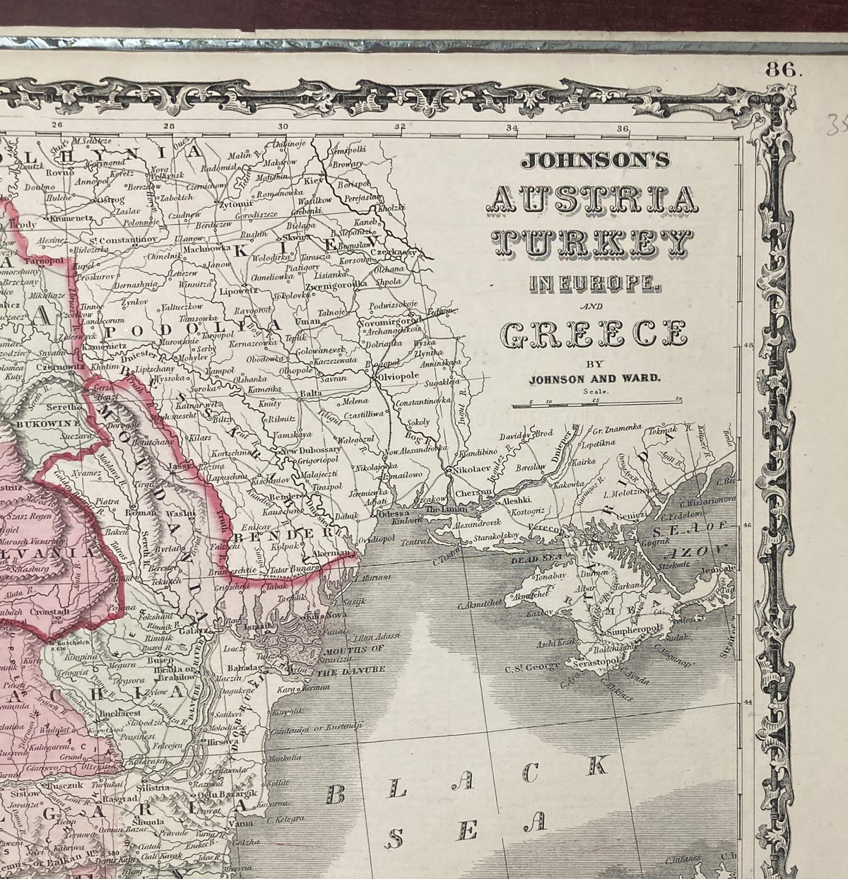
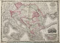
“Johnson’s Austria, Greece, and Turkey in Europe” is an antique map that was part of a larger publication called “Johnson’s New Illustrated Atlas,” which was published by Johnson and Ward in 1864. The atlas was a popular and influential publication in its time and is now considered a classic of American mapmaking.
The map itself is a large, detailed, and beautifully crafted representation of the countries of Austria, Greece, and Turkey in Europe. It shows the region’s topography, including mountains, rivers, and other natural features, as well as political boundaries, cities, and towns. The map also includes insets of important cities like Vienna, Athens, and Constantinople (now Istanbul).
“Johnson’s New Illustrated Atlas” was intended to be both informative and aesthetically pleasing. It was designed to appeal to a wide audience, including students, scholars, travelers, and anyone else interested in learning about the world. The atlas contained more than 100 maps and illustrations, as well as detailed descriptions of each country and region.
The publication was also notable for its use of color, which was a relatively new and expensive technology at the time. The maps and illustrations were hand-colored, which added to their beauty and value.
Today, “Johnson’s Austria, Greece, and Turkey in Europe” is considered a valuable and collectible antique map. It is sought after by collectors and enthusiasts for its historical significance, beauty, and rarity. The map is also an important artifact of American mapmaking and publishing in the 19th century.
***
Cartographer: A.J. Johnson
Technique: Steel engraving
From: Johnson’s New Illustrated Atlas
Year: [1864]
Size: 57 x 45 cm; 22 x 18 inches
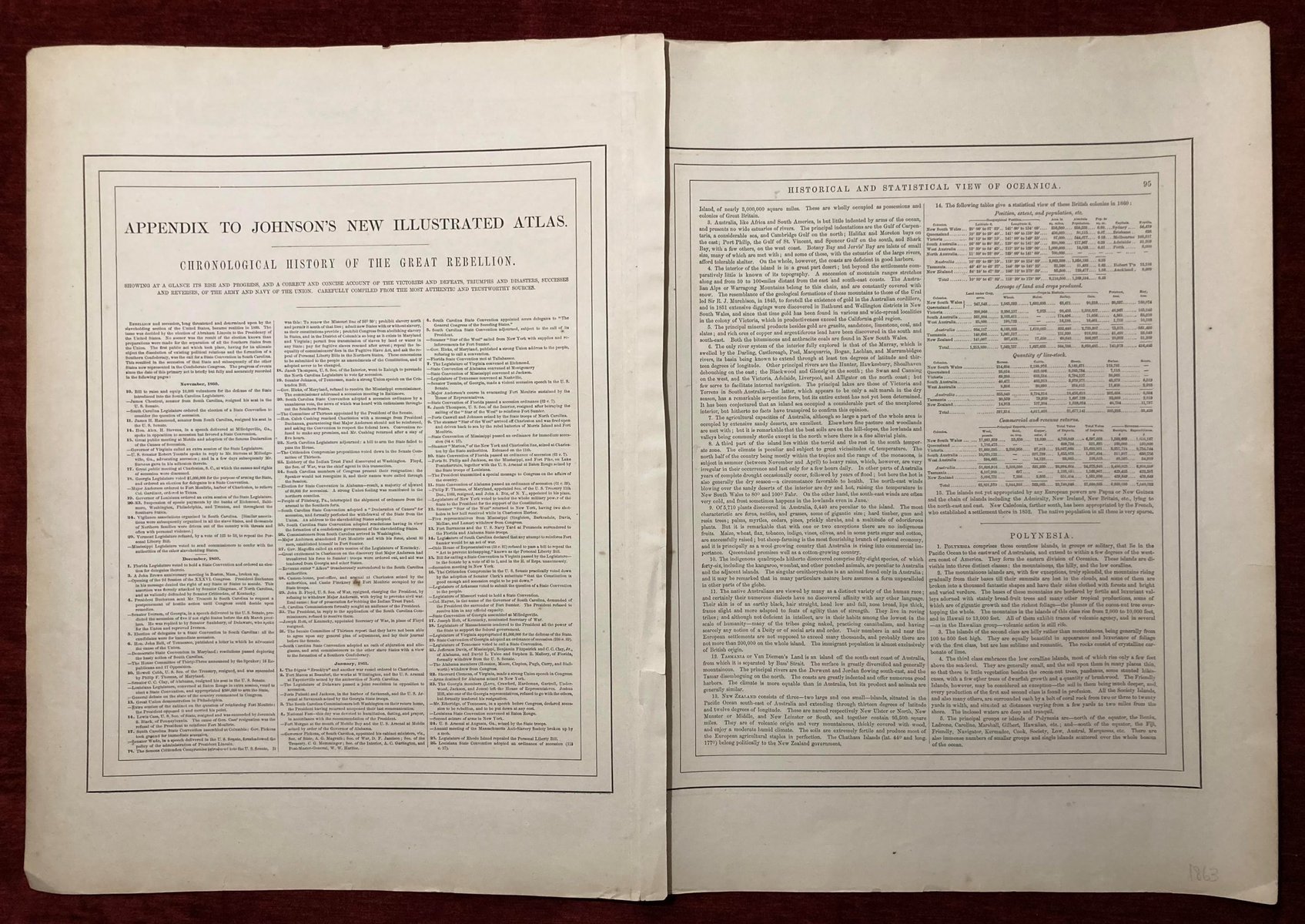
Condition: Folded as issued, with some minor tears and creases along the edges. Perfect for framing.
***
For details on the condition, please see the pictures. If you have any questions, feel free to contact us.


