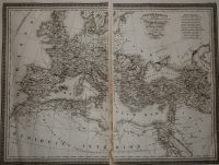
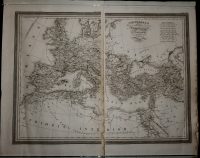
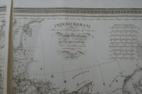
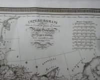
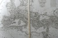
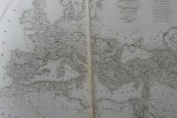
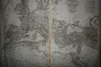
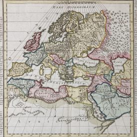
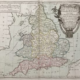
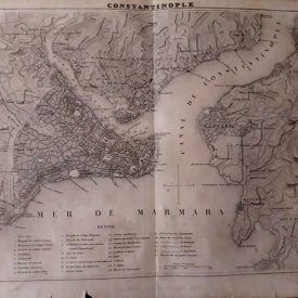
Antique Map Of Roman Empire Imperii Romani
Original large antique map of Roman Empire in two parts. From L’atlas universel de la géographie et de l’histoire anciennes et modernes.
Engraved by 19th-century French engraver, Giraldon-Bovinet.
***
Dimensions of paper: 60 x 43 cm
Dimensions of each engraving: 45 x 30 cm.
Year: 1826
Engraver: Giraldon-Bovinet
Publisher: Mennard et Desenne
Place Of Publication: Paris
Technique: Copperplate
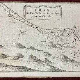
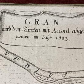
Condition: The map is in very good condition with some minor stains along the edges, some signs of restoration are present also.
***
The item will be shipped in a cardboard tube.
For other details of item condition, please see the photos. More photos are available on demand. If you have any questions, feel free to contact us.
This is an original antique map. We don’t sell reproductions.