Old map of Hungary
***
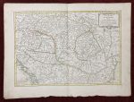
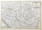
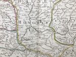
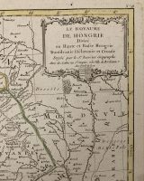
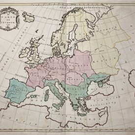
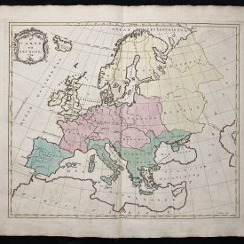
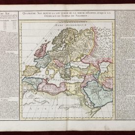
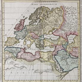
A beautiful 1783 antique map of Hungary and southeastern Europe by Le Sieur Janvier. Issued as plate no. 18 in Jean Lattre’s Atlas Moderne ou collection de cartes sur toutes les parties du Globe Terrestre. It covers much of modern Hungary, Romania, Transylvania, Moldova, Bosnia, Serbia, Croatia, Bulgaria, and parts of Austria, Poland, and Greece. An ornamental title cartouche with the royal crest of Hungary is displayed on the upper right.
***
Dimensions: 52 x 39 cm (page) / 20,5 x 15,35 inch; 44 x 31 cm (map) /17,3 x 12,2 inch
Year: 1783
Engraver: Sr. Jean Denis Janvier
Publisher: Jean Lattré
Place Of Publication: Paris, France
Technique: Copperplate
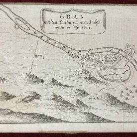
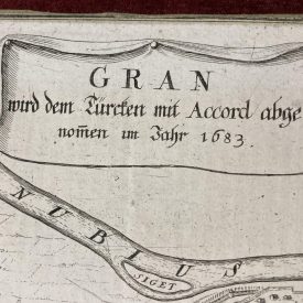
Condition: Centrefold line as issued, some browning and handling marks on edges.
***
The item will be shipped in a cardboard tube.
For other details of the item’s condition, please refer to the images. More photos are available on demand. If you have any questions, feel free to contact us.
This is an original antique map. We don’t sell reproductions.