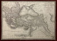
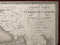
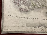
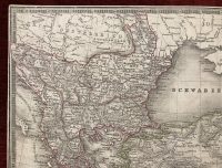
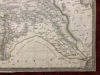
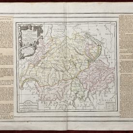
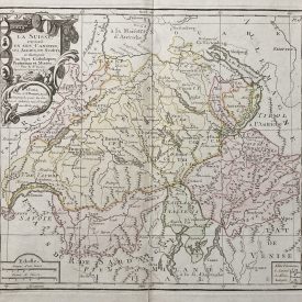
General Karte des türkischen Reichs in Europa und Asien
Highly accurate and detailed map of the Ottoman Empire in 1824. The map is also showing the kingdom of Greece with its cities and islands. Scale in the bottom left corner of the map. The author is Franz Fried, an Austrian cartographer active during the first half of the 19th century.
Please note that this is the editor’s copy, an extremely rare map, no other copy found in world libraries or galleries.
***
Dimensions: 500 x 360 mm; 19.5 x 14 inches (approx)
Year: 1824
Engraver: Franz Fried
Publisher: Artaria & Comp. publisher’s edition
Technique: Copperplate
Coverage: Scale [ca 1: 6 150 000]. 7.4 cm = 60 German Miles = 80 Turkish hours = 80 Sea Miles = 2400 Greek cities
Condition: Some stains and imperfections, in good condition.
***
Item will be shipped in a cardboard tube.
For other details of item condition, please see the photos. More photos available on demand. If you have any questions, feel free to contact us.
This is an original antique map. We don’t sell reproductions.