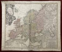
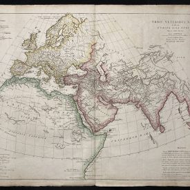
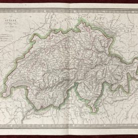
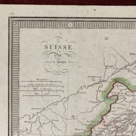
Europa Secundum Legitimas Antique Map of Europe 1743 by J. Baptist Homann
***
Dimensions: 620 x 530 mm; 24 x 21 inches (approx)
Year: 1743
Engraver: J. Baptist Homann (1664-1724)
Technique: Copper engraving
***
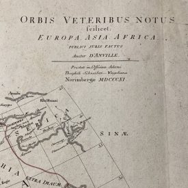
Highly detailed decorative map of Europe based upon Haas’ stereographic horizontal projection, which was featured in his book on cartographic methodology. A large decorative cartouche in the top left features Europa, crowns, horse heads, putti, and the figure of Fame with her trumpet. In the top margin, there is a title in the French language. Partially colored with a beautiful chart in the bottom left corner.
***
Condition: Folded as issued, few tears with some signs of aging. Slightly damaged along the line of folding and along the edges. Stains and signs of aging.
***
For other details and condition see the scans. If you have any questions, feel free to contact us. More photos available on demand.
***
This is an original antique map. We don’t sell reproductions.
Item will be shipped in a cardboard tube.