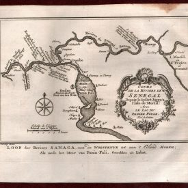
Benguela Map Antique Copperplate Port 1757 Angola Africa

SKU: H003 Category: Tags: , , , ,
Artist

Original/Reproduction

Listed By

Date of Creation

Print Type

Size

Height (Inches)

Width (Inches)

Subject

Print Surface

$70.00

In stock

Description

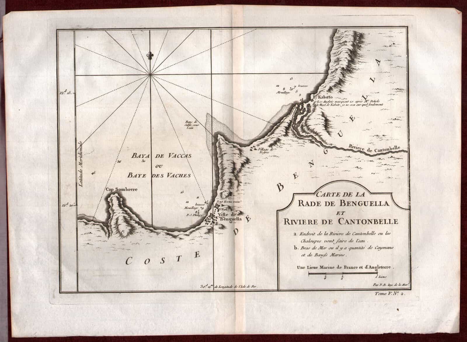
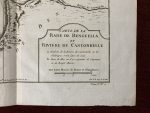
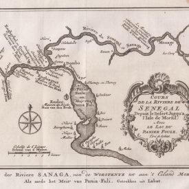
Benguela City Map

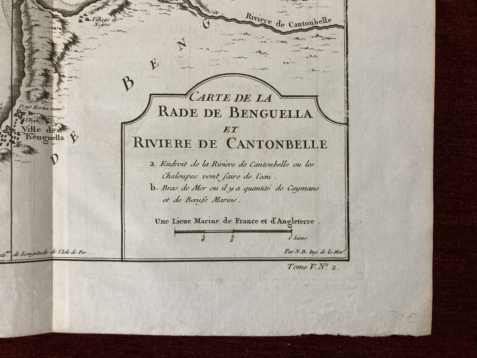
Carte de la Rade de Benguella et Riviere de Cantonbelle

***

Dimensions: 304 x 228 mm, 12 x 9 inches

Year: 1757

***

Detailed regional map of the region between Benguela, Angola, and the Cantonbelle (Catumbela) River, from J.N. Bellin, the map-maker to the King of France.

The map includes Fort. Kabuto, which Bellin notes as having been identified by the English and De L’Isle, but Bellin was unable to verify.

***

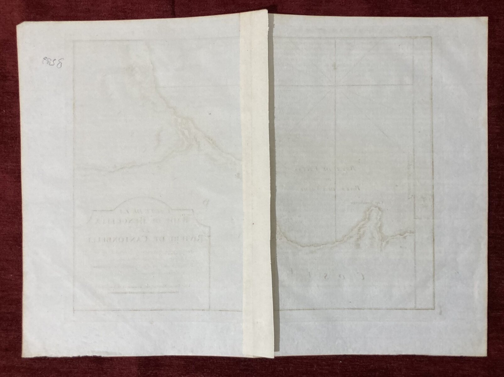
Condition: Few minor imperfections, in very good condition.

***

Please refer to the images for the details of the item’s condition. If you have any questions, don’t hesitate to contact us!

Shipping & Delivery