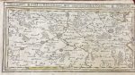
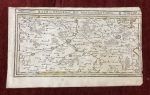
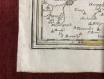
Ath in Hennegau mitt angraenzenden Orthen
***
Copperplate engraved map by Gabriel Bodenehr. The map depicts the County of Hainaut, located on the border of Belgium and France.
***
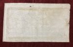
Dimensions: 203 x 157 mm; 8 x 6 inches
Year: 1720
Engraver: Gabriel Bodenehr
From the Atlas: Atlas curieux oder neuer und compendieuser atlas
Publisher: Bodenehr
Place Of Publication: Augsburg, Germanzy.
Technique: Copperplate
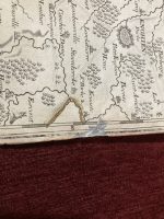
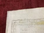
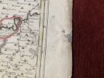
Condition: Some pinholes and minor stains on the margins, the right margin is slightly damaged.
***
The item will be shipped in a cardboard tube.
For other details of item condition, please see the photos. More photos are available on demand. If you have any questions, feel free to contact us.
This is an original antique map. We don’t sell reproductions.