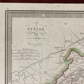
Original Antique Map of Hungary
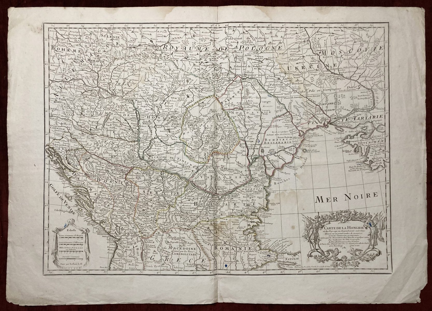
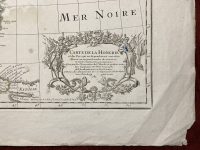
Carte de la Hongrie et des Pays qui en dependoient autrefois. Dressée sur un grand nombre de memoirea et Cartes manuscrites ou imprimées. Rectifiez par les Observations du Cte. Marsilii et quelques autres Par Guillaume De l’Isle Geographe
***
From: “Atlas de Geographie”
Author: Guillaume De L’Isle
Technique: Copperplate
***
Dimensions (approximately): 46,7 x 64,5 cm, 18 x 25 inches
Year: 1780
***
This map is one of the most accurate maps of Hungary and the Balkan peninsula of the early 18th century. The map covers a vast expanse of territory, stretching from the Gulf of Venice and Croatia in the west to the Black Sea in the east. It also includes the lands between Kraków in the north and Saloniki in the south. This comprehensive coverage provides a detailed and nuanced understanding of the region, including its geography, topography, and various landmarks. The map is partially colored, which enhances its visual appeal and makes it easier to distinguish between different regions.
Guillaume De L’Isle (1675-1726) was a prominent French cartographer of the 18th century. De l’Isle’s maps were known for their accuracy and attention to detail. Due to his notable connections, he was able to map out the geography of the New World as well. De l’Isle’s most famous work is his “Atlas de Geographie,” which was first published in 1700 and went through several editions during his lifetime.
***
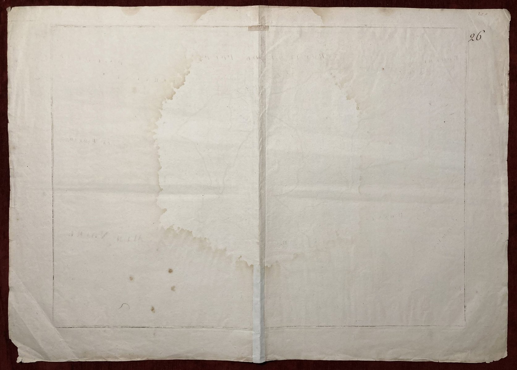
Condition: Signs of folding, signs of aging, moisture stain on the right side of the map, 5 cm tear in the bottom right corner.
***
For other details and condition, please see the pictures. If you have any questions, feel free to contact us.
***
Please note that this is an original antique engraving. We don’t sell reproductions.
Item will be shipped in cardboard tube.

