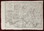
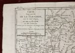
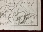
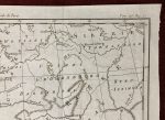
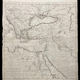
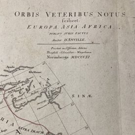
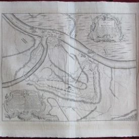
Carte d’ une partie De La Tartarie vers le Sud Ouest et de la Russie
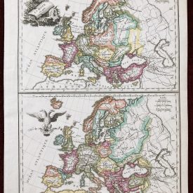
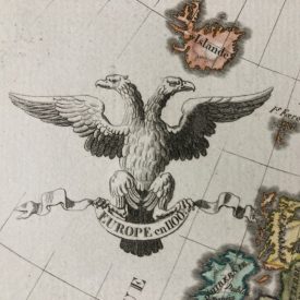
This antique map shows Tartary, including the territories of Poland, Ukraine, with the Crimean peninsula, the Caucasus, and the Ural region. The card is decorated with a title cartouche. This map may become a great addition to any collection or can be presented as a unique gift that will brighten the recipient’s wall and give it a touch of antique.
Map Maker: Antoine François Prévost
Published: Paris, 1758
Technique: Copper plate
Dimensions: 39 x 26,5 cm (14 x 8 inches)
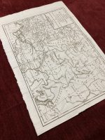
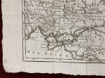
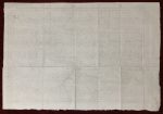
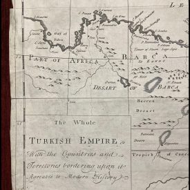
Condition: Worn edges, signs of folding.
For details of the item’s condition, please refer to the images.
***
Note: This is an original. We do not sell reproductions. This item will be shipped in a strong cardboard tube. Free combined shipping for additional items.