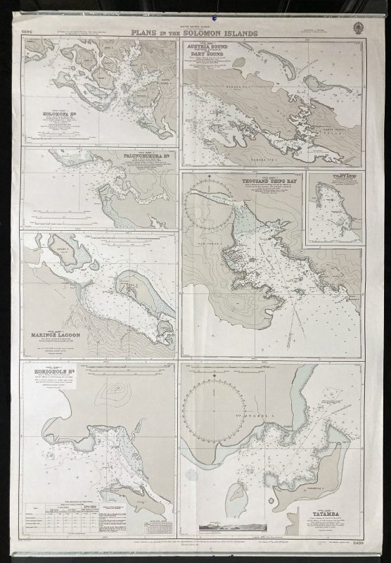
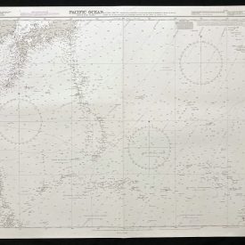
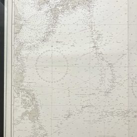
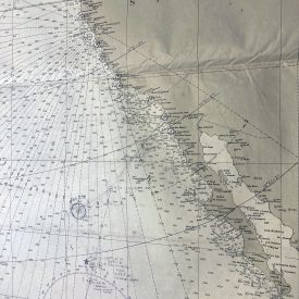
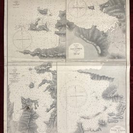
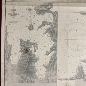
Nautical Chart of the Pacific Ocean – Plans in the Solomon Islands
***
An interesting vintage nautical chart of the Pacific Ocean, featuring the Plans in the Solomon Islands.
Originally published in 1975 by the Crown. Printed in London by Admiralty and under the supervision of the British Royal Navy.
***
Dimensions: 104 x 71 cm; 40 x 27
Year: 1975
Author: Sir Archibald Day
Publisher: Admiralty
Place Of Publication: London
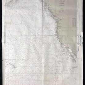
Condition: Lines of folding, upper-left corner crumpled, fraying of the upper edge, smaller ink stains on the lower and upper edge. Very good condition overall.
***
The item will be shipped in a cardboard tube.
For other details of item condition, please see the photos. More photos are available on demand. If you have any questions, feel free to contact us.