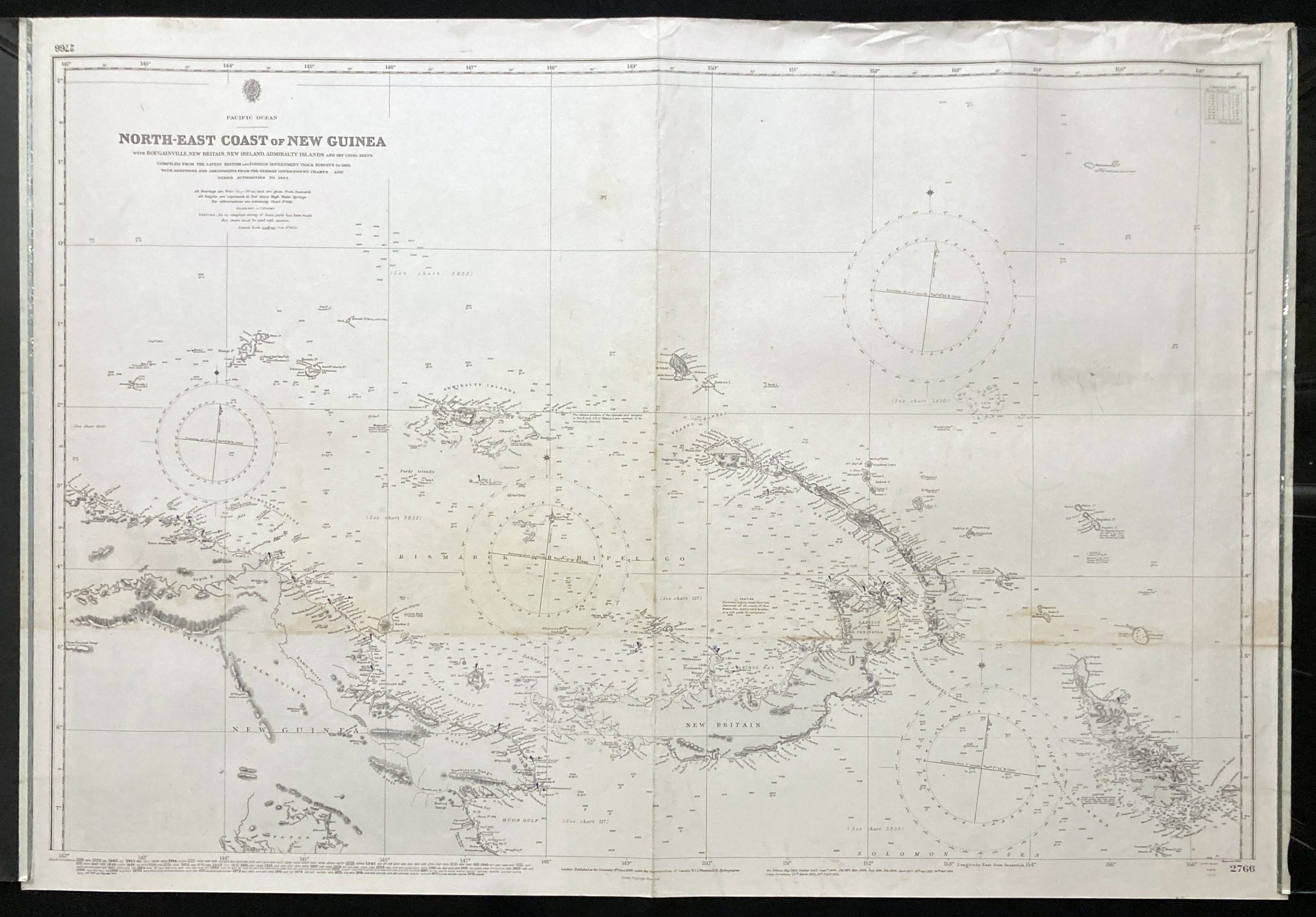
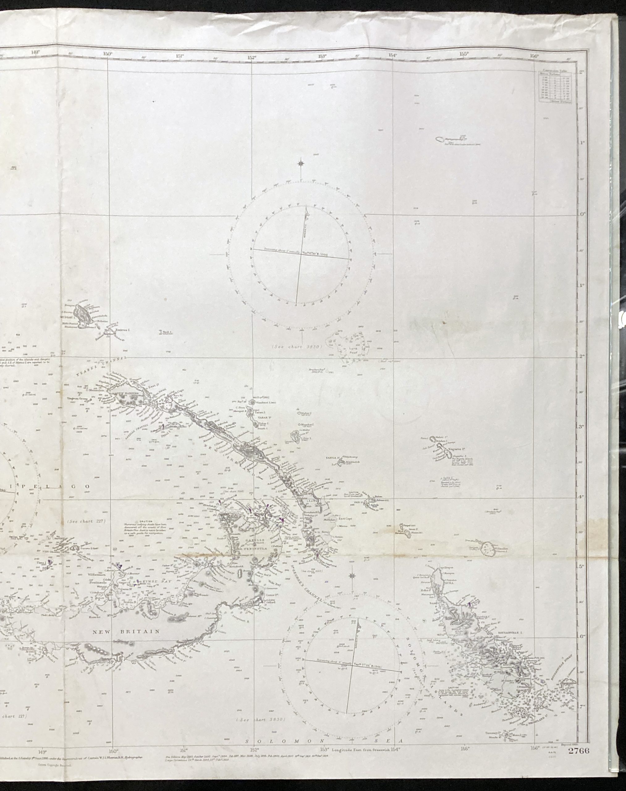
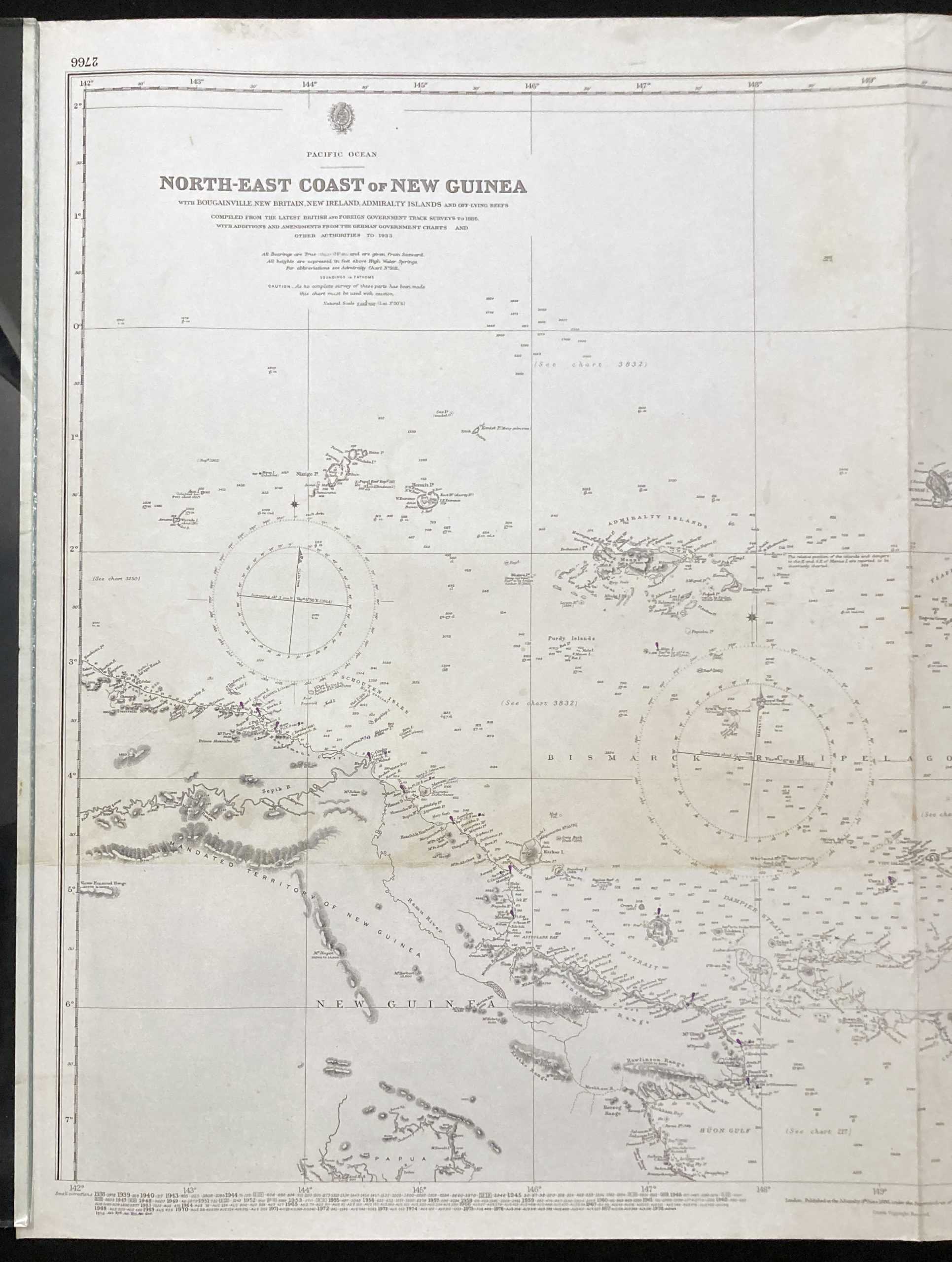
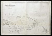
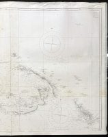
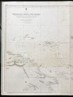
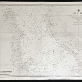
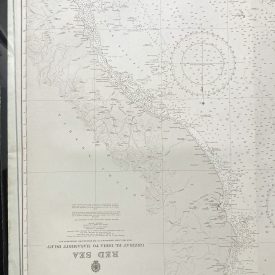
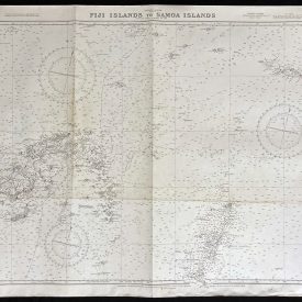
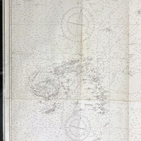
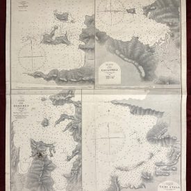
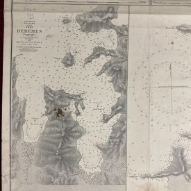
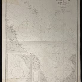
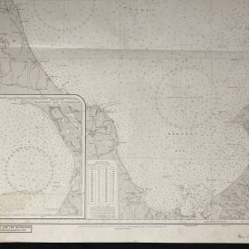
Nautical Chart of the Pacific Ocean – North-East Coast of New Guinea
***
An interesting vintage nautical chart of the Pacific Ocean, featuring the North-East Coast of New Guinea and surrounding islands.
Originally published in 1886 by the Crown. Printed in London by Admiralty and under the supervision of the British Royal Navy.
***
Dimensions: 104 x 71 cm; 40 x 27
Year: 1886
Author: W.J.L. Wharton
Publisher: Admiralty
Place Of Publication: London
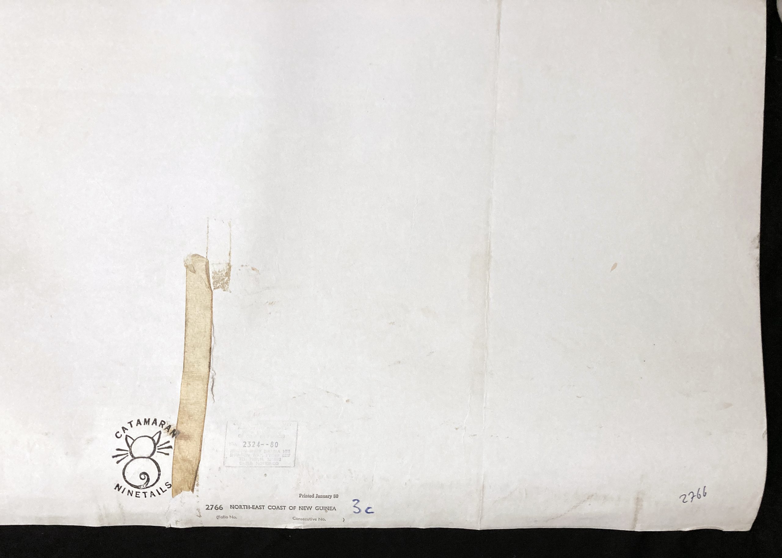
Condition: Lines of folding, upper-right corner crumpled, slight staining along the lines of folding, crepe tape on the verso. Very good condition overall.
***
The item will be shipped in a cardboard tube.
For other details of item condition, please see the photos. More photos are available on demand. If you have any questions, feel free to contact us.

