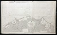
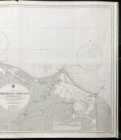
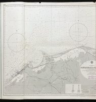
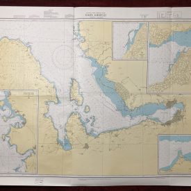
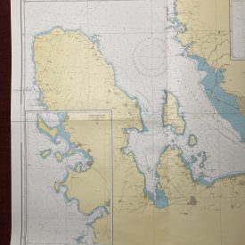
Nautical Chart of the Mediterranean Sea Egypt – Alexandria to Port Said
***
An interesting vintage nautical chart of the Mediterranean Sea Egypt, from Alexandria to Port Said.
Originally published in 1976 by the Crown. Printed in London by Admiralty and under the supervision of the British Royal Navy.
***
Dimensions: 123 x 71 cm; 48 x 27
Year: 1976
Author: H. P. Douglas
Publisher: Admiralty
Place Of Publication: London
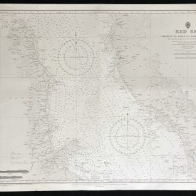
Condition: Lines of folding, tearing (2cm) near the center of the upper edge, piece torn near the upper left corner. Very good condition overall.
***
The item will be shipped in a cardboard tube.
For other details of item condition, please see the photos. More photos are available on demand. If you have any questions, feel free to contact us.