Nautical Chart of the Torres Strait and Approaches
***
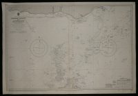
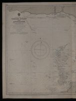
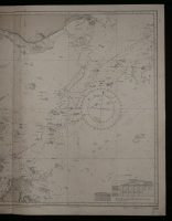
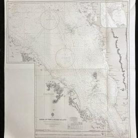
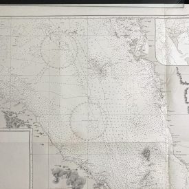
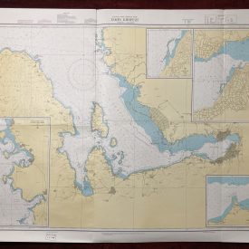
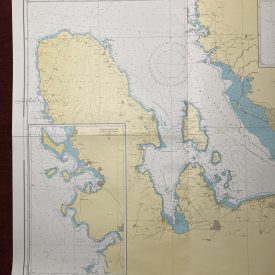
Nautical chart of the Torres Strait and Approaches on the Australian north coast, showing parts of the Cape York Peninsula, Papua New Guinea, and the Warrior Reefs.
The chart is compiled from the Australian government charts to 1950. Originally published in 1955 by the Crown. Printed in London by Admiralty and under the supervision of the British Royal Navy.
***
Dimensions: 104 x 71 cm; 41 x 28 in
Year: 1979
Publisher: Admiralty
Place Of Publication: London
Author: Sir Archibald Day
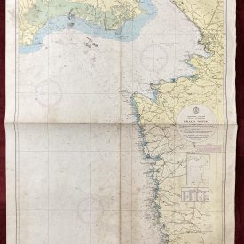
Condition: Folded as issued, smaller stains around the edges and in the lower right quadrant, some corrections made with pen. Very good condition overall.
***
The item will be shipped in a cardboard tube.
For other details of item condition, please see the photos. More photos are available on demand. If you have any questions, feel free to contact us.