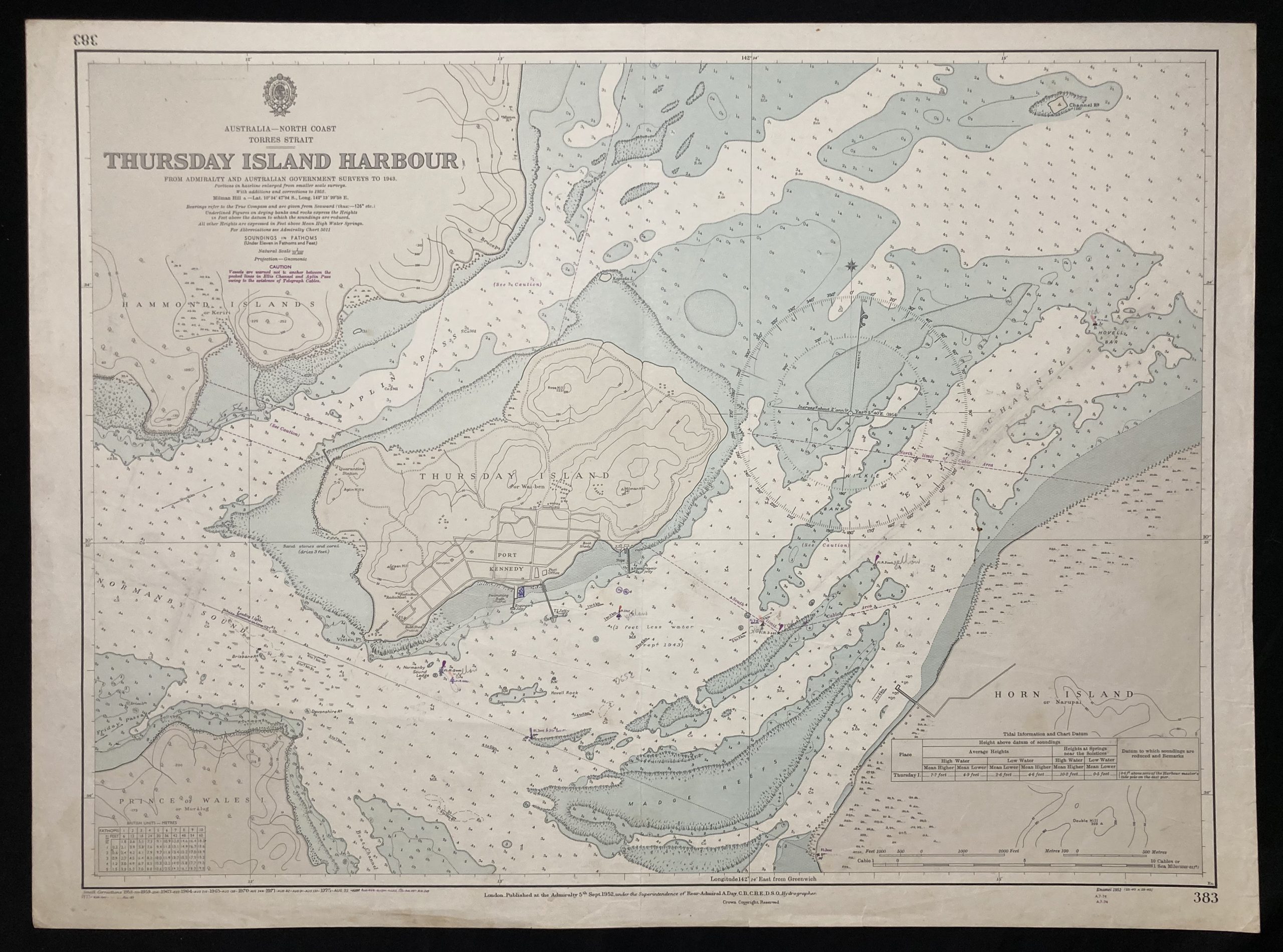
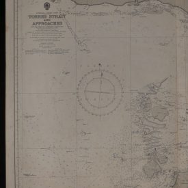
Nautical Chart of the Thursday Island in Australia
***
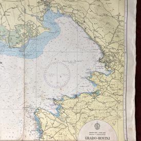
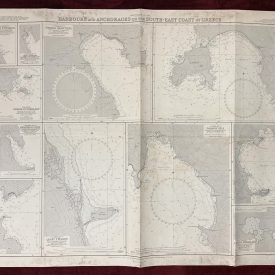
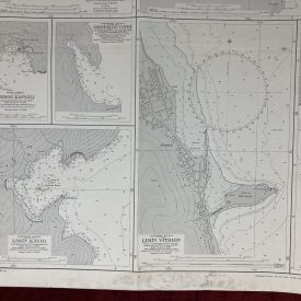
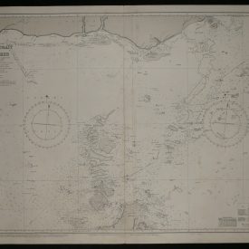
Nautical chart of the Thursday Island on the Australian North Coast, covering the Torres Strait with parts of Horn Island and Prince Wales. The chart shows depths, nature of the sea floor, hazards, aids to navigation, tides, and currents, with some topographic detail of the adjoining coasts.
Originally published in 1952 by the Crown under the superintendence of Sir Archibald Day.
***
Publisher
The Admiralty was the British government department responsible for the command of the Royal Navy until 1964. The Admiralty was replaced by the Admiralty Board in 1964, as part of the reforms that created the Ministry of Defence and its Navy Department (later Navy Command).
Hydrographer
Sir Archibald Day (18 July 1899 – 17 July 1970) was an officer in the Royal Navy and Hydrographer of the Navy from 1950-1955. He played an important part in planning the evacuation from Dunkirk in 1940.
After the war, Day resumed his position as Assistant Hydrographer, and was appointed in 1950 as the Hydrographer of the Navy. He held this post until 1955 when he retired.
Interestingly, Day wrote a history of the Hydrographic Service titled The Admiralty Hydrographic Service 1795-1919, which was published in 1967 as his final work. The book gives a summary of the earlier part of the period with a much more detailed account of the period from 1884-1919 with biographies of surveyors and tabulations of surveys and ships by year.
***
Dimensions: 71 x 52 cm; 28 x 20 1/2 in
Year: 1975
Publisher: Admiralty
Place of publication: London
Author: Sir Archibald Day
Condition: Folded as issued, light stain and tear (1cm) on the lower edge.
***
The item will be shipped in a cardboard tube.
For other details of item condition, please see the photos. More photos are available on demand. If you have any questions, feel free to contact us.

