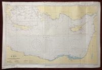
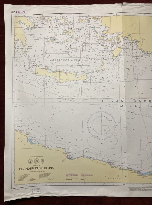
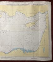
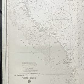
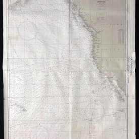
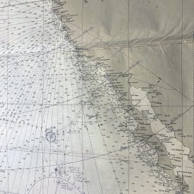
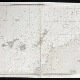
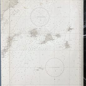
Nautical Chart of the Levantine Sea
Iskenderun
***
Nautical chart of the city of Iskenderun in the Mediterranean, showing the Levantine and Aegean seas with Crete, Cyprus, and the coasts of Turkey and Egypt. Published by the Federal Maritime and Hydrographic Agency of Germany in Hamburg.
***
Dimensions: 116 x 78 cm
Year: 1999
Publisher: Federal Maritime and Hydrographic Agency of Germany
Country of manufacture: Germany
Place of publication: Hamburg
Condition: Folded as issued, paper slightly warped and crumpled in the corners, tear on the top margin (2cm), marker inscription on the back.
***
The item will be shipped in a cardboard tube.
For other details of the item’s condition, please see the photos. More photos are available on demand. If you have any questions, feel free to contact us.