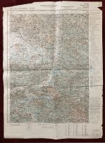
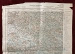
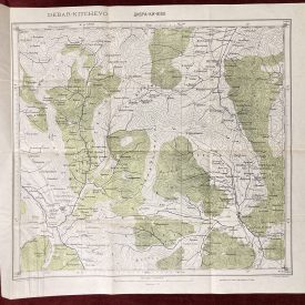
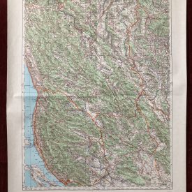
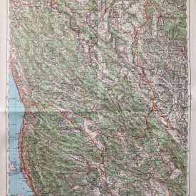
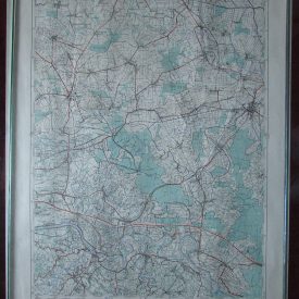
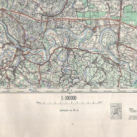
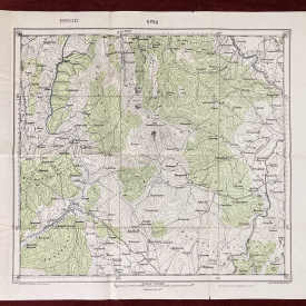
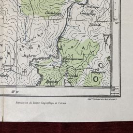
Military Map of Zvornik
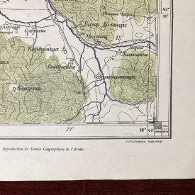
An original military map showing the territory of Zvornik and its surroundings, Bosnia and Herzegovina. The map shows numerous towns, lakes, and mountains. It was printed by the German OKH (German High Command) during WWII, in 1943.
***
Size: 70 x 50 cm
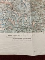
Year: 1943
Publisher: OKH – Oberkommando des Heeres – German High Command.
Scale: 1: 50000
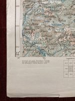
Condition: Lines of folding, some minor stains, tears along the edges, wrinkles, inscriptions in the back, in good condition.
***
For other details and the item’s condition, please refer to the images.. If you have any questions, feel free to contact us. More photos are available on demand.
The item will be shipped in a cardboard tube. If you have any additional questions, don’t hesitate to contact us!