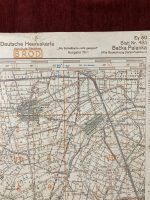
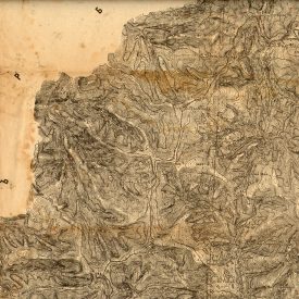
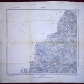
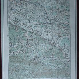
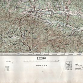
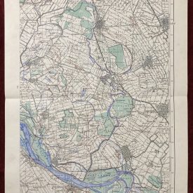
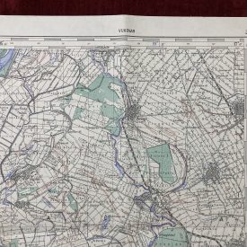
Heereskarte of Bačka Palanka, Yugoslavia
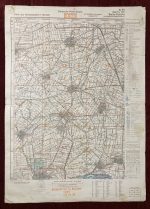
Topographic map showing north of Bačka Palanka. Printed in German language printed by Oberkommando des Heeres OKH, the German High Command. The map shows from Bačka Palanka to the south to Jegrička Canal to the north and Obrovac to the west to Obradovo to the East. As the map was printed in 1943, updated shortly after the invasion of Yugoslavia in 1941.
***
Size: 70 x 50 cm
Year: 1943.
Publisher: OKH – Oberkommando des Heeres – German High Command.
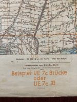
Scale: 1: 50000
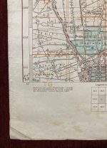
Condition: Lines of folding, paper yellowing due to age, light stains throughout. Some wear along the edges, minor tears along the folding lines taped with paper repair tape. Overall in very good condition.
***
For other details and conditions see the scans. If you have any questions, feel free to contact us. More photos are available on demand.
Item will be shipped in a cardboard tube. If you have any additional questions, please contact us.