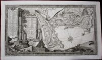
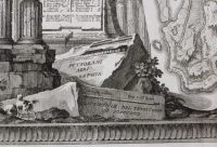
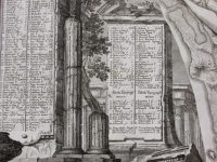
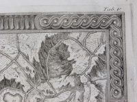
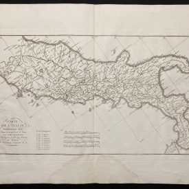
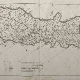
Map of Pozzuoli in the Gulf of Pozzuoli in Campania
Description of the territory of Pozzuolo. From Paoli’s masterpiece of 18th century Italian chalcography Antichità di Pozzuoli. Tabula V from the atlas, engraved by Francesco La Marra. The engraving is showing classical ancient Greek and Roman ruins depicted like this for the first time.
Pozzuoli, located just north of Naples, began as a Greek colony and a Roman colony was established in 194 BC. Pozzuoli (at the time named Puteoli) was the great emporium for the Alexandrian grain ships and other ships from all over the Roman world. It was also the main hub for goods exported from Campania, including blown glass, mosaics, wrought iron, and marble.
***
Dimensions: 560 x 300 mm; 22 x 11 inches (approx)
Year: 1769
Author: Paolo Paoli
Engraver: Francesco La Marra
Technique: Chalcography
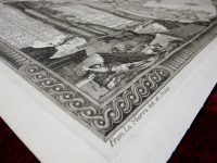
Condition: Line of folding, in excellent condition otherwise.
***
Item will be shipped in a cardboard tube.
For other details of item condition, please see the photos. More photos available on demand. If you have any questions, feel free to contact us.
This is an original antique map. We don’t sell reproductions.