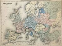
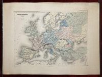
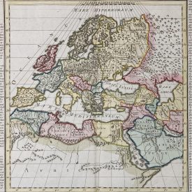
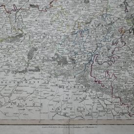
Europe occidentale de 962 à 1492 de J. C.
The antique map titled “Europe occidentale de 962 à 1492 de J. C.” by Auguste Henri Dufour, published by Europa in 1861 is a historical map that shows the political boundaries and major cities of Western Europe from the year 962 to 1492 AD.
The map was created by Auguste Henri Dufour, who was a Swiss cartographer, topographer, and military officer. Dufour was a prominent figure in the field of cartography in the 19th century, and his maps are highly sought after by collectors today.
The map is printed on high-quality paper and is richly colored, with intricate details and clear, legible text.
The map shows the various kingdoms, empires, and territories that existed in Western Europe during the medieval period, including the Holy Roman Empire, the Kingdom of France, the Kingdom of England, the Kingdom of Portugal, and the Kingdom of Spain. It also depicts major cities, rivers, and mountain ranges, as well as important historical events such as the Crusades, the Norman Conquest, and the Hundred Years’ War.
Dimensions: 50 x 44 cm ; 23x 17 inches (approx)
Year: [1861]
Publisher: Europa
Author: Auguste Henri Dufour
Technique: Steel plate
Condition: Some minor stains and creases, but in very good condition.
***
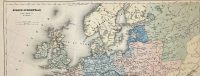
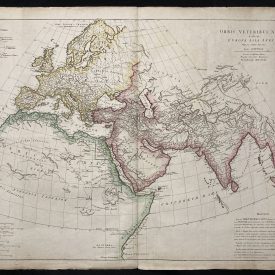
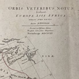
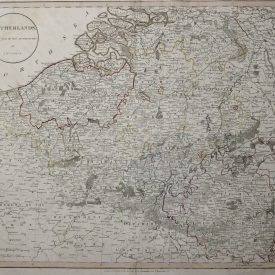
For other details and the item’s condition see the photos. If you have any questions, feel free to contact us. More photos are available on demand.
***
This is an original antique map. We don’t sell reproductions.
The item will be shipped in a cardboard tube.
")