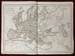
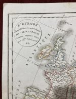
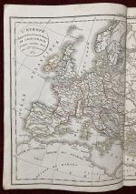
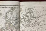
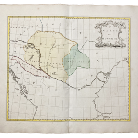
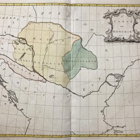
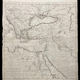
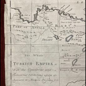
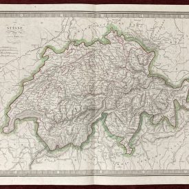
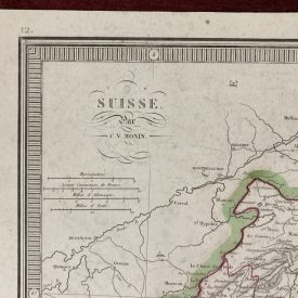
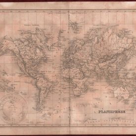
L’Europe a l’Epoque du demembrement de l’Empire de Charlemagne
An antique 19th-century map of Europe depicting the political landscape during the dismemberment of Charlemagne’s Empire, engraved by the renowned Felix Delamarche. This detailed map features hand-colored borders that beautifully delineate the nations. A fine example for collectors.
***
Dimensions: 43 x 30 cm; 17 x 12 inches (approx.)
Year: 1831
Engraver: Felix Delamarche
Publisher: Chez Félix Delamarch
Place Of Publication: Paris
Technique: Copperplate
Condition: Folded as issued. Light staining along the margins, dog ears on the bottom corners, very good overall.
***
The item will be shipped in a cardboard tube.
For other details of item condition, please see the photos. More photos are available on demand. If you have any questions, feel free to contact us.
This is an original antique map. We don’t sell reproductions.