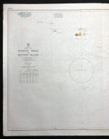
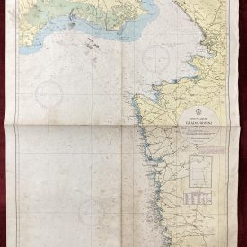
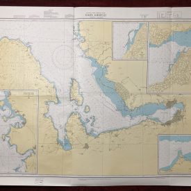
Nautical Chart of Penguin Shoal to Browse Island – Western Australia
***
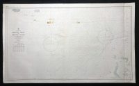
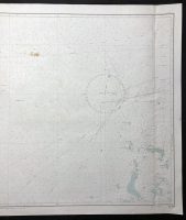
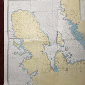
Nautical chart of Penguin Shoal to Browse Island in Western Australia. Originally published in 1966 by Hydrographic Service R.A.N. under the superintendence of admiral J. H. S. Osborn. Printed in Royal Australian Navy Corps in 1979. The chart shows the nature of the sea floor, hazards, aids to navigation, tides, and currents. Depths and heights are in meters.
***
Publisher
The Australian Hydrographic Service (formerly known as the Royal Australian Navy Hydrographic Service) is the Australian Commonwealth Government agency responsible for providing hydrographic services that meet Australia’s obligations under the SOLAS convention and the national interest; enabling safe navigation, maritime trade, and supporting the protection of the marine environment. The agency, headquartered at the Australian Hydrographic Office in Wollongong, New South Wales, is an element of the Royal Australian Navy (RAN) and serves both military and civilian functions.
***
Dimensions: 119 x 73 cm; 47 x 28 1/2 in
Year: 1979
Publisher: Hydrographic Service R.A.N.
Country of manufacture: Australia
Place of publication: Wollongong
Author: D. W. Haslam
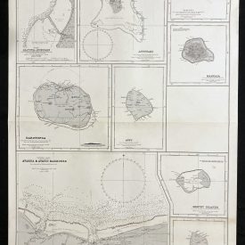
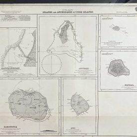
Condition: Folded as issued, several stains in the upper half as shown in the picture, minor imperfections.
***
The item will be shipped in a cardboard tube.
For other details of item condition, please see the photos. More photos are available on demand. If you have any questions, feel free to contact us.