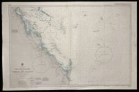
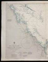
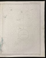
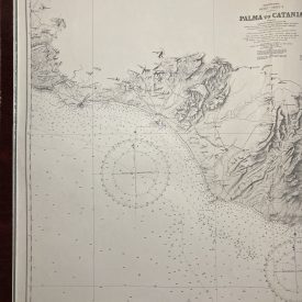
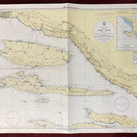
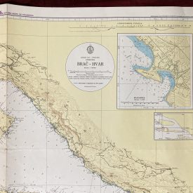
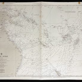
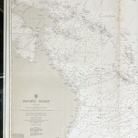
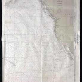
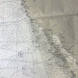
Nautical Chart of Fraser Island to Cumberland Islands
***
Nautical chart of the East coast of Australia covering Fraser Island to Cumberland Islands in Queensland with the Coral Sea. Originally published in 1960 by the Admiralty under the superintendence of admiral K. St. B. Collins. It was reproduced by the Royal Australian Navy, Hydrographic Service in 1978.
***
Publisher
The Australian Hydrographic Service (formerly known as the Royal Australian Navy Hydrographic Service) is the Australian Commonwealth Government agency responsible for providing hydrographic services that meet Australia’s obligations under the SOLAS convention and the national interest; enabling safe navigation, maritime trade, and supporting the protection of the marine environment. The agency, headquartered at the Australian Hydrographic Office in Wollongong, New South Wales, is an element of the Royal Australian Navy (RAN) and serves both military and civilian functions.
***
Dimensions: 110 x 70 cm; 43 x 27 1/2 in
Year: 1978
Publisher: Hydrographic Service R.A.N.
Country of manufacture: Australia
Place of publication: Sydney
Author: K. St. B. Collins
Condition: Folded as issued, light staining near the middle of the upper edge, slight wrinkling on the right edge.
***
The item will be shipped in a cardboard tube.
For other details of item condition, please see the photos. More photos are available on demand. If you have any questions, feel free to contact us.

")
")