Antique Map Afrique Politique Carte Hachette 1930 Atlas Antique Map of Africa Afrique Politique
***
Dimensions: 575 x 450 mm; 22.5 x 17.5 inches (approx)
Scale: 1 : 20.000.000
Year: 1930
Author: Viven St Martin
Engraver: E. Delaune
***
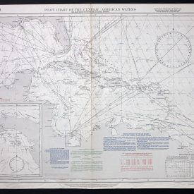
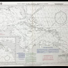
Antique map of Africa from the “Atlas Universel de Geographie” by L. St Vivien. Atlas is published in Paris, in 1930. In French language. In full color. Relief shown with elevational tinting and shading. Topographic details and symbols are shown in upper left corner of the map.
***
Condition: Folded as issued, few tears with some signs of ageing.
***
For other details and condition see the scans. If you have any questions, feel free to contact us.
***
This is an original antique map. We don’t sell reproductions.
Item will be shipped in cardboard tube.