Cyprus Antique Map
***
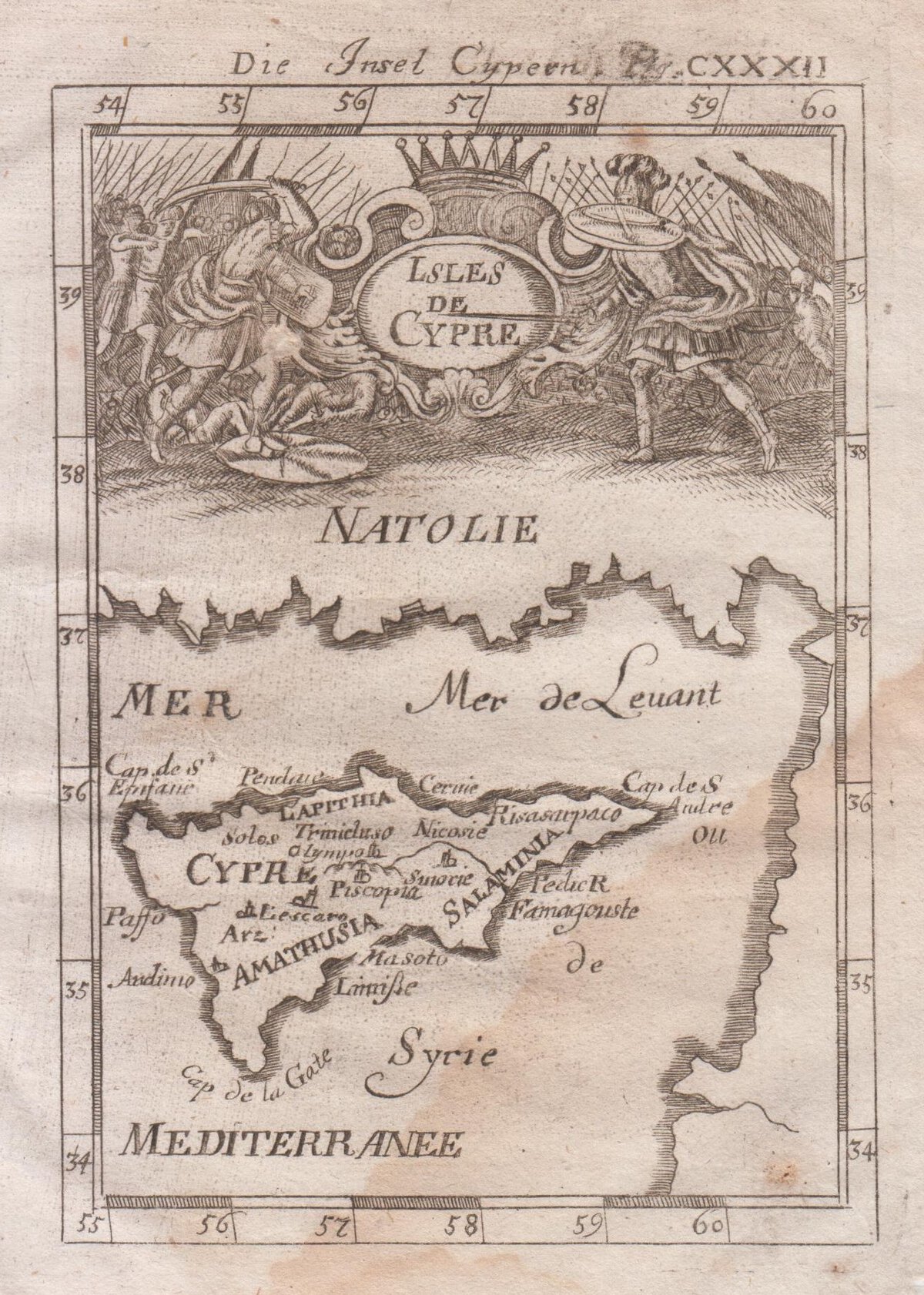
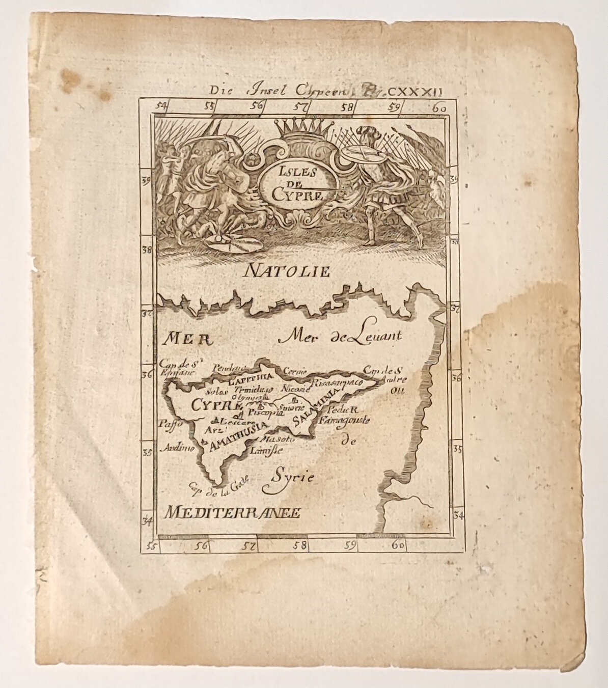
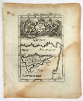
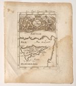
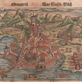
An engraved copperplate veduta of Cyprus from the German edition ”Beschreibung des ganzen Welt-kreisses” by Alain Manesson Mallet. The veduta features a war scene on the upper part of the map and in the middle of the scene the name ”Isles de Cypre” on a medallion. A figure number (Fig. CXXXII) is written after the German title, “Die Insel Cypern”, on the top right margin outside the borders of the veduta.
Alain Manesson Mallet (1630-1706) was a French cartographer, grammarian, engineer, and mathematician who was active in the mid-late 17th century.
***
Author: Alain Manesson Mallet
Publisher: J. A. Jung
Place of Publication: Frankfurt, Germany
Date: [1719]
Dimensions: 20 x 17 cm (leaf); 14 x 10 cm (veduta)
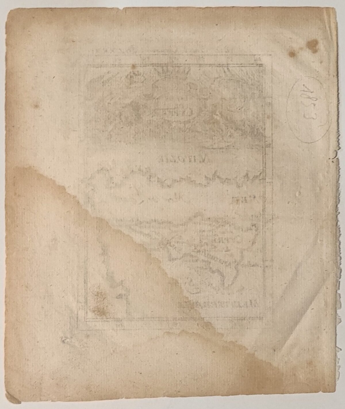
Condition: Paper browning due to aging; browning due to moisture; few minor stains (visible on scans).
***
Please see the photos for other details of the item’s condition. More photos are available on demand. If you have any questions, feel free to contact us.
This is an original antique map. We don’t sell reproductions.

