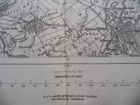
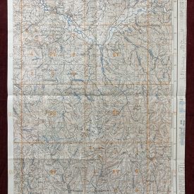
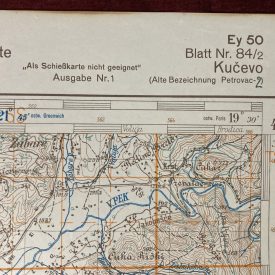
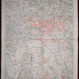
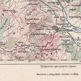
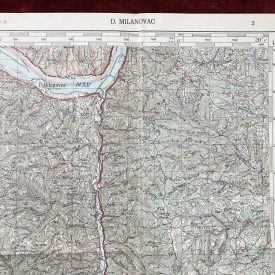
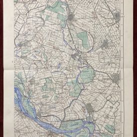
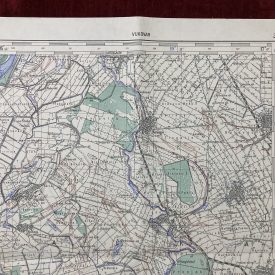
ORIGINAL MILITARY TOPOGRAPHIC DETAILED MAP
northeastern
HUNGARY
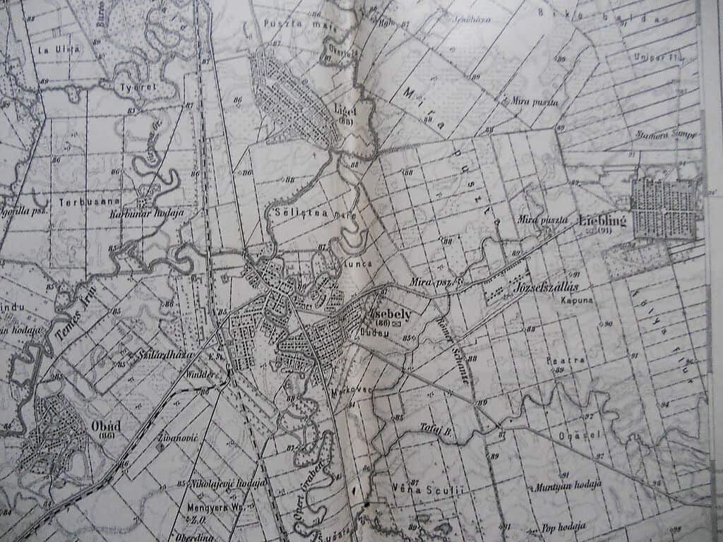
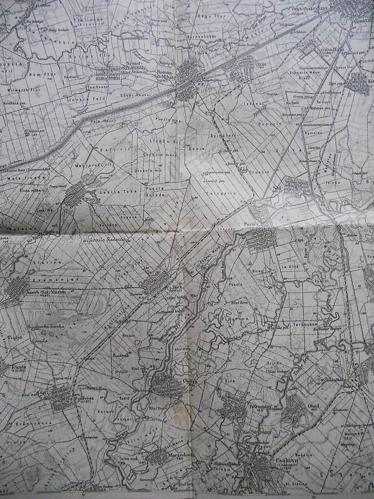
O-Telek and Zsebely
O-TELEK und ZSEBELY
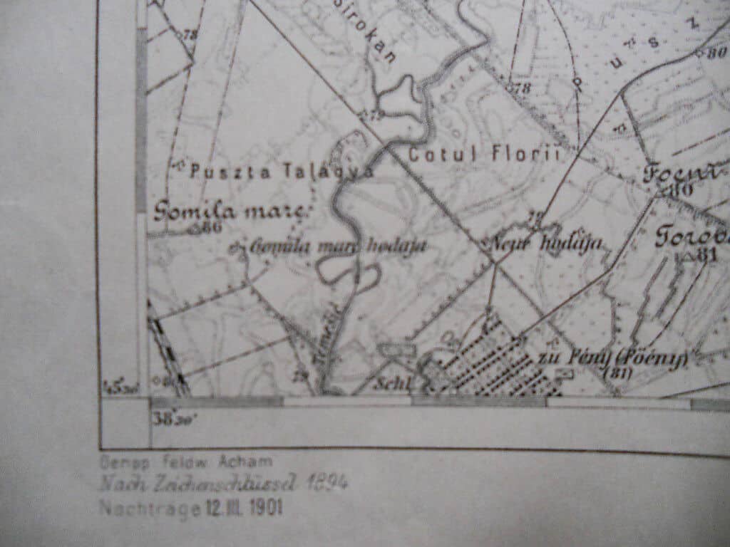
ZONE 23 KOL. XXIV.
Nach Aufnahme 1881
(After recording 1881)
Nachtr. (Supplem.) 12. III 1901
Nach Zeichenschlüssel (After character key) 1894
Printed in small circulation.
Mafsstab (Scale):
1:75000
***
Published by:
K.u.k. Militärgeographisches Institute
***
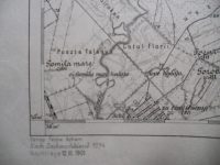
Geripp (Skeleton):
Fwkr. Acham
***
Terrain:
Oberlt Perakovic
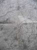
***Dimensions (unfolded): 62 x 48 cm.
***
Condition:
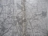
wear, folding lines, tears at the folding line, small imperfections – creases and pale stains, some handwriting on verso For condition and details see picture. If you have any questions, please contact us.
If you desire the picture of back side of the map send us an e-mail request.


