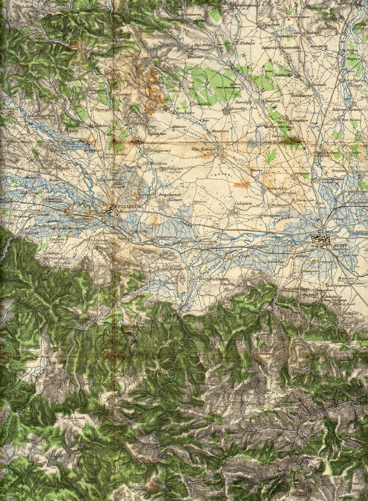
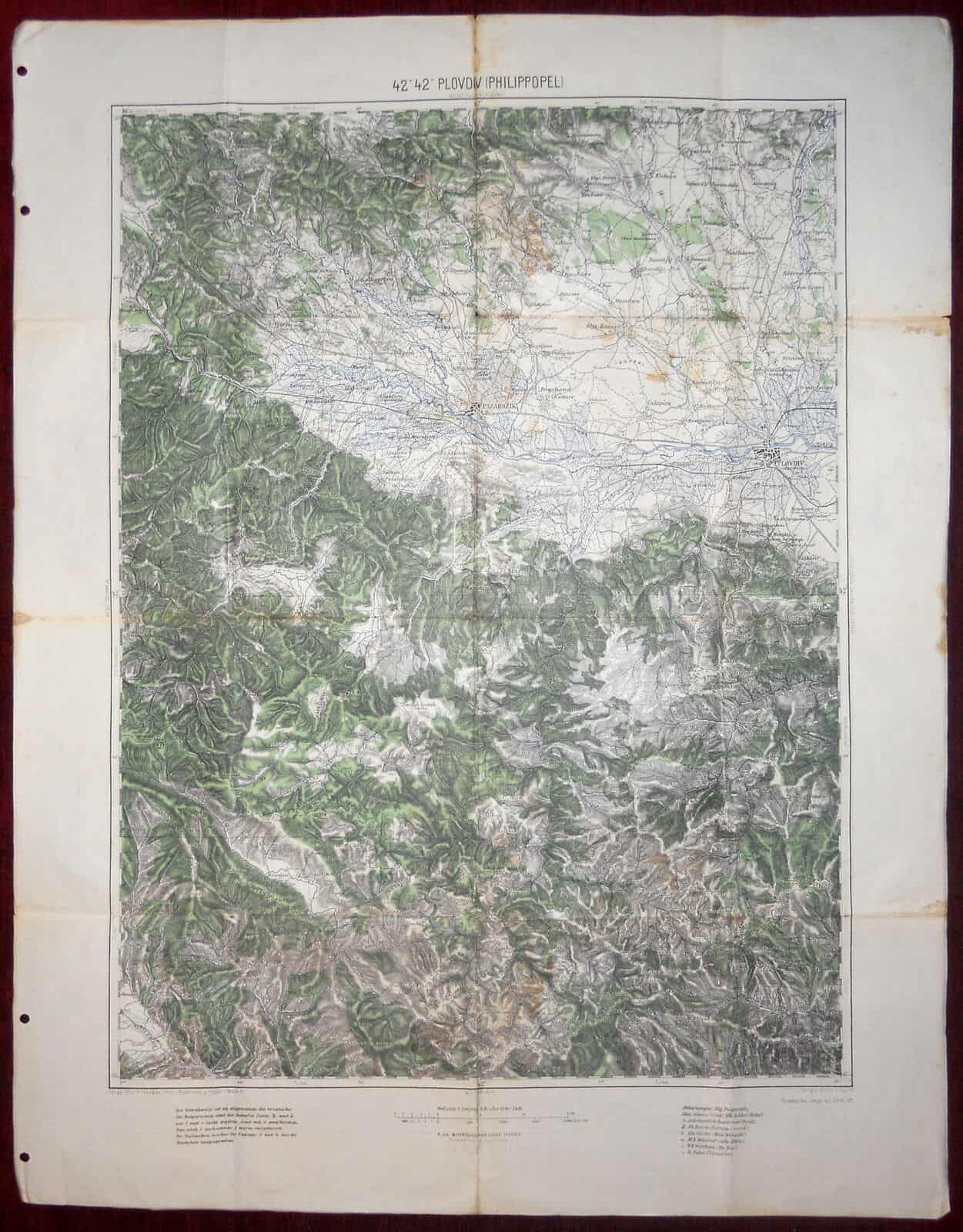
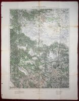
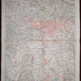
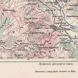
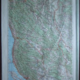
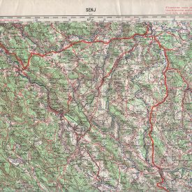
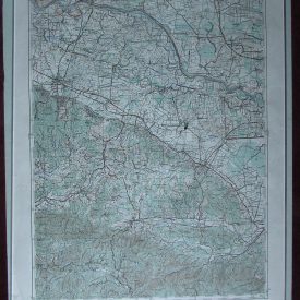
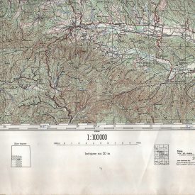
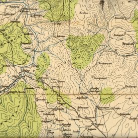
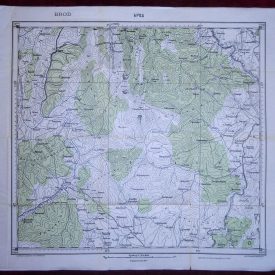
ORIGINAL MILITARY TOPOGRAPHIC DETAILED MAP
42°42° ??????? (PHILIPPOPEL) Pleven(Plevna), Stara Zagora(Eski Zacra), Džumaja, Kavala. Geripp.(Map skeleton) Offiz. K. Magshka, Offiz. J. Rogozinski u Feldw. K. Niesner Terrain Hptum A. Kruliš Teilweise berichtigt bis (Partially corrected) 23. XI 1911.
Scale 1 : 200.000
***
Military topographic map of Bulgaria.
***
Published by K.u.K. Militärgraphisches Institut, before the WWI.
***
Printed in small circulation.
***
Size (unfolded):
53,8 x 68,8 cm.
***
In good condition with small signs of aging and wear, stains, originaly folded.
***
If you desire the picture of back side of the map send us an e-mail request.
***
Please, note:
This item will be shipped in a cardboard tube.
Powered by eBay Turbo Lister The free listing tool. List your items fast and easy and manage your active items. supreme supremewidgets supremeauctiononlinesoftware.widgets.EbayGalleryZ. supremewidgets supremeauctiononlinesoftware.widgets.GalleryBasicFree. supremewidgets supremeauctiononlinesoftware.widgets.FeedbackWidgetBasicFree.

