1951 Military Topographic Map Obrenovac Plan Belgrade Sava Kolubara Serbia
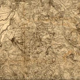
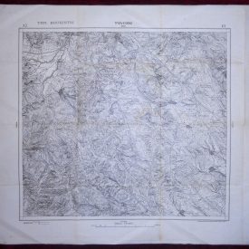
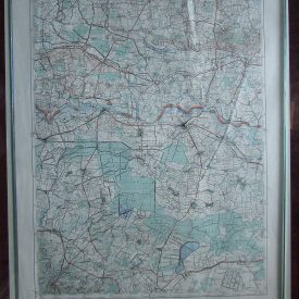
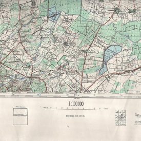
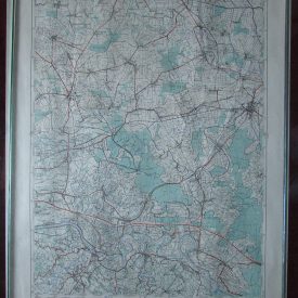
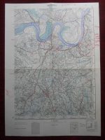
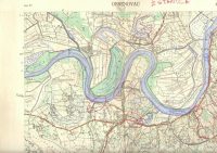
Original Military Topographic Map of Obrenovac (Serbia, Yugoslavia) A rare, original detailed topographic military map.
***
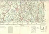
Dimensions: 68,5 x 48,5 cm. Scale: 1 : 50.000. Year: 1951. Printed by Војногеографски институт, Београд (Military Geographical Institute) in Belgrade, Serbia. Map of the Југословенска народна армија (Yugoslav People’s Army).
***
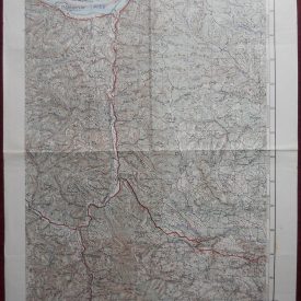
Condition: Folded as issued. Some felt pen inscriptions written by previous owner.
***
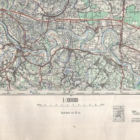
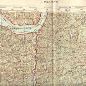
For other details and condition see the pictures.
***
This item will be shipped in a strong cardboard tube.
***