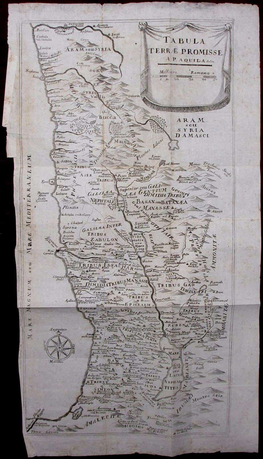
Tabula Terrae Promisse
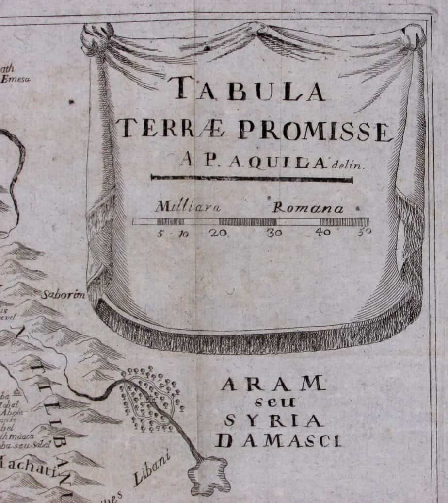
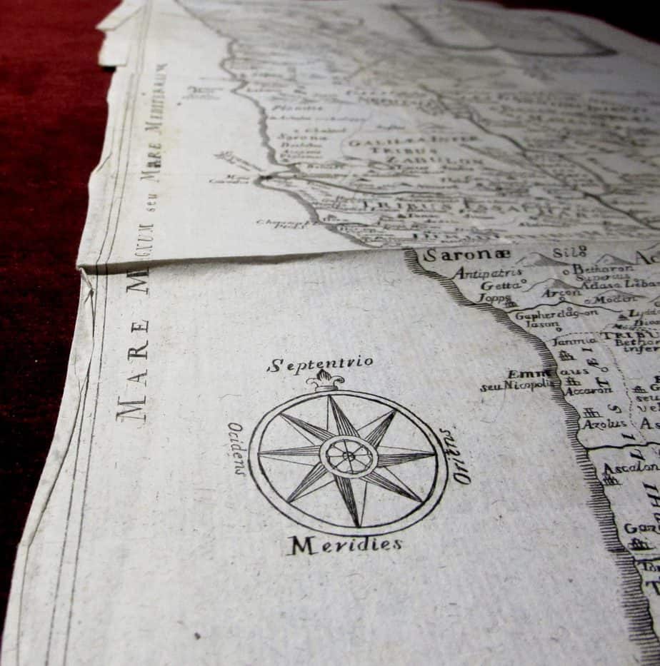
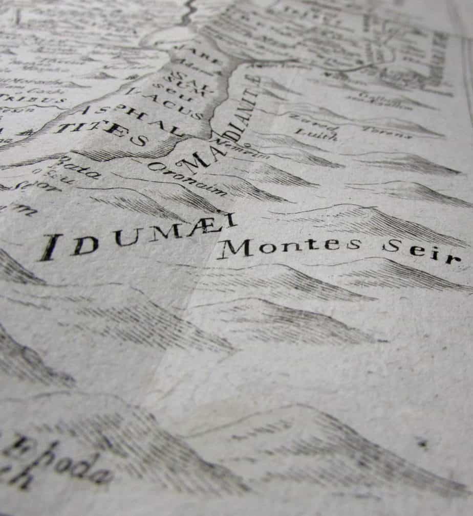
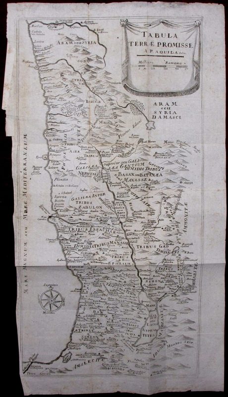
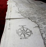
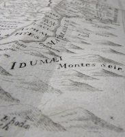
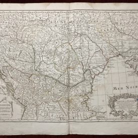
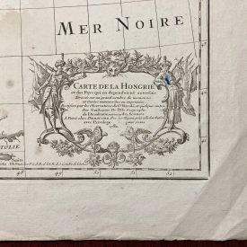
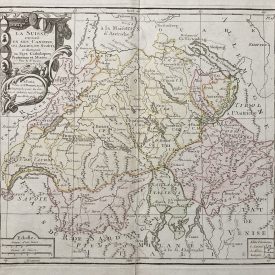
Antique copperplate map of Holly Land (Terrae Promisse) by Prospero dell ‘Aquila from 1768. It shows the area of today’s Israel and Palestine with the Dead Sea and the Sea of Galilee. The regions of the 12 tribes are also indicated. Title cartouche with scale in Roman miles and a compass rose further enrich the map. From Dizionario portatile della Bibbia published in Napoli during 1758-1760.
***
Dimensions: 480 x 260 mm; 19 x 10 inches (approx)
Year: 1768
Engraver: Augustine Prospero dell ‘Aquila
Technique: Copperplate
Condition: Creases and tears along the edges of the print, slightly stained, lines of folding, signs of restoration on the back.
***
Item will be shipped in a cardboard tube.
For other details and item condition, please see the photos. More photos available on demand. If you have any questions, feel free to contact us.
This is an original antique map. We don’t sell reproductions.

