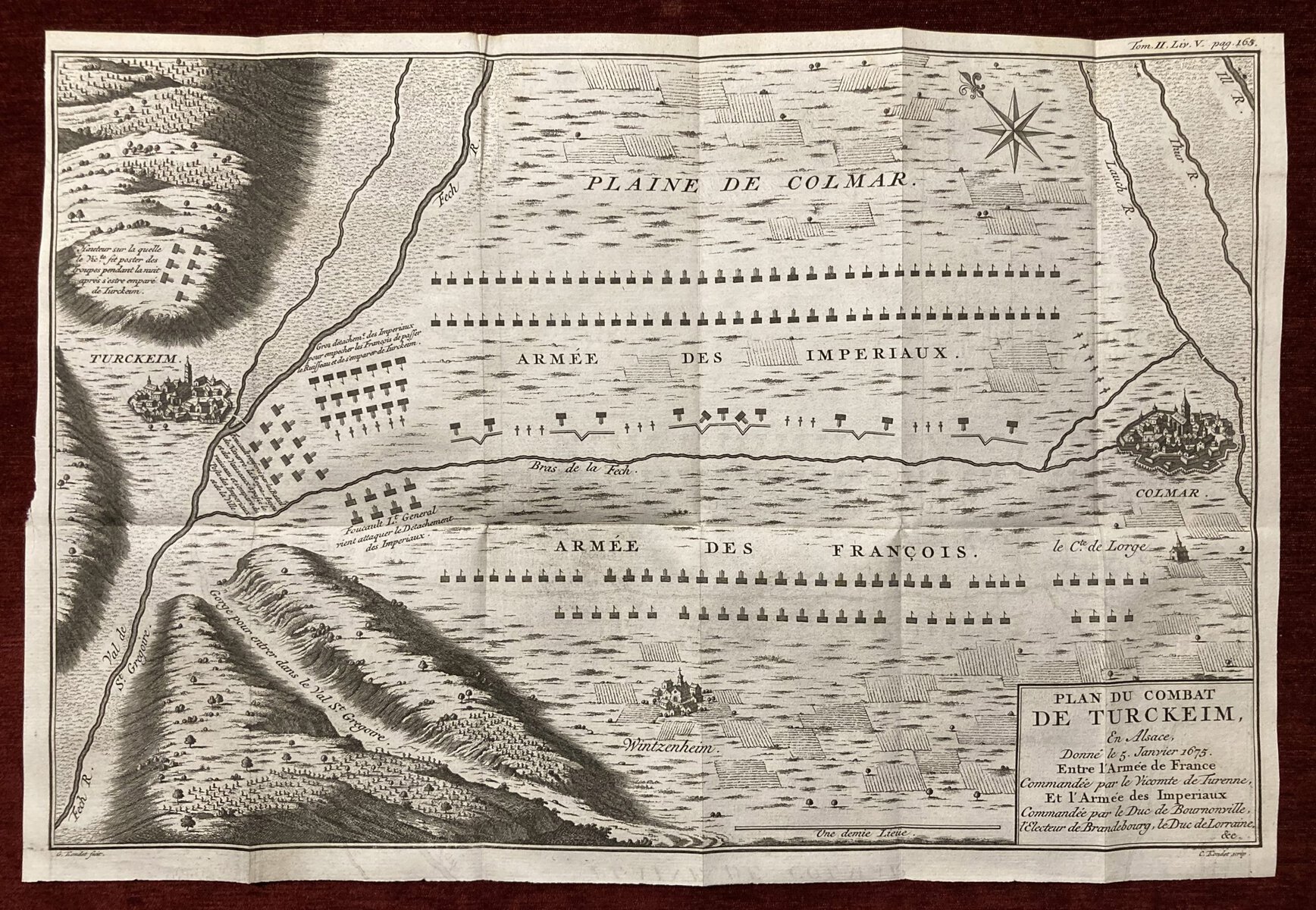
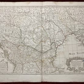
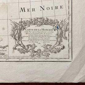
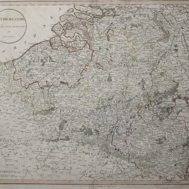
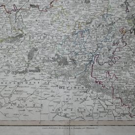
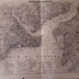
A historical map depicting the Battle of Turckheim occurred on January 5, 1675, in Alsace, France. The battle was fought between the French army led by Vicomte de Turenne and the Imperial forces of the Holy Roman Empire.
The map provides a visual representation of the battlefield and the positions of the opposing armies during the battle. It would likely include topographical details, such as rivers, hills, and other geographical features, to provide a comprehensive understanding of the terrain and how it influenced the course of the conflict.
The Battle of Turckheim was part of the more significant conflict known as the Franco-Dutch War (1672-1678), which involved several European powers, including France, the Dutch Republic, and various German states. In this particular battle, Turenne, one of the most renowned French military commanders of his time, successfully defeated the Imperial forces under the command of General Alexander von Bournonville.
The victory at Turckheim was a significant achievement for the French army. Despite being outnumbered, Turenne’s tactical brilliance allowed him to outmaneuver and rout the Imperial forces. The battle resulted in a decisive French victory and secured Alsace, a region of strategic importance, for France.
Dimensions: 37 x 25 cm
Year: 1749
Publisher: Arkstee & Merkus
Engraver: Gerardus Condet
Technique: Copperplate.
Condition: Lines of folding, minor signs of damage, and a few stains.
***
For other details and the item’s condition see the photos. If you have any questions, feel free to contact us. More images are available on demand.
***
This is an original antique map. We don’t sell reproductions.

