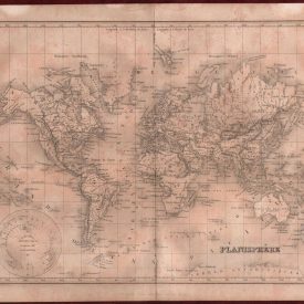
La France divisee Par Gouvernement generaux
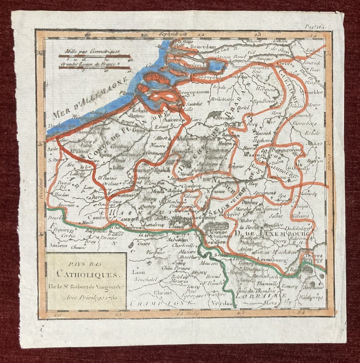
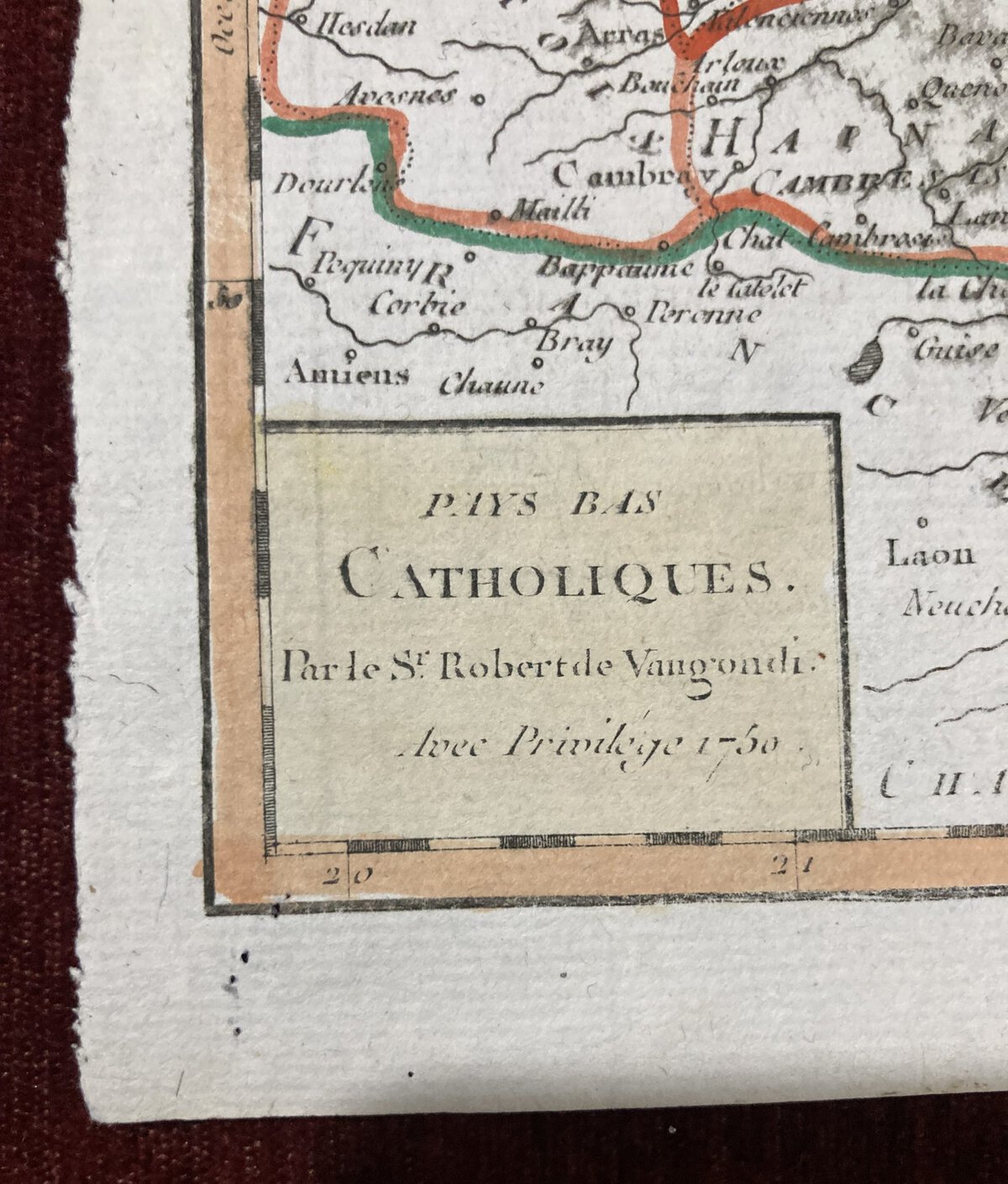
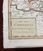
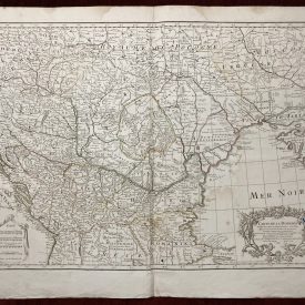
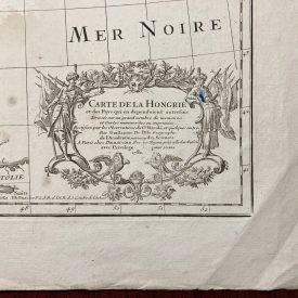
A small antique map showing catholic countries in Central Europe in the mid 18th century, engraved by Robert de Vaugondy. The Vaugondy family produced a large number of atlases from about 1740 to the end of the century. They also allowed their maps to be licensed by other publishers, none more obviously so than in the many editions of Methode abregee et facile pour apprendre la Geographie.
***
Dimensions: 180 x 160 mm; 7 x 6 inches (approx)
Year: 1750
Engraver: Robert de Vaugondy
Technique: Copperplate
Condition: Few minor stains and imperfections, some signs of restoration, in good condition.
***
Item will be shipped in a cardboard tube.
For other details of item condition, please see the photos. More photos available on demand. If you have any questions, feel free to contact us.
This is an original antique map. We don’t sell reproductions.

