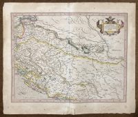
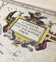
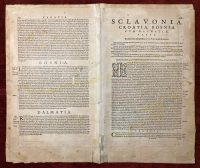
Original Old Map Mercator Sclavonia, Croatia, Bosnia cum Dalmatiae Parte
***
Dimensions: 530 x 450 mm; 21 x 18 inches
Year: 1630
***
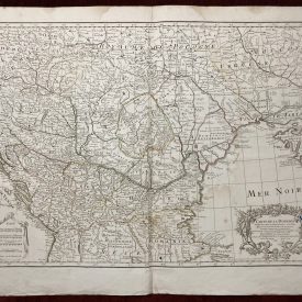
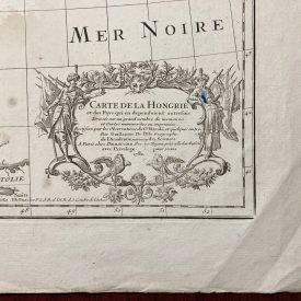
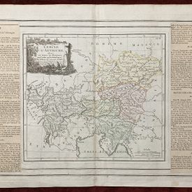
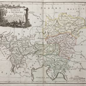
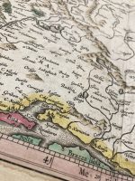
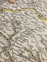
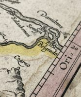
This old Mercator map shows the western part of the Balkan peninsula, loosely centered around the territory of Bosnia and its surroundings. The map is also showing part of Dalmatia, as well as its coasts, and its numerous islands in the Adriatic Sea. Exceptional early work of Gerard Mercator, the most influential cartographer of the 17th century. Also, the map is colored green, yellow, and pink. Original old coloring makes this map an extraordinary antique item. Furthermore, we can see two scales under the cartouche, indicating measurements in both Italian and German miles.
***
Condition: Folded as issued. Stained. Few tears and signs of wear along the edges.
***
For other details and condition see the scans. If you have any questions, feel free to contact us.
***
This is an original antique engraving. We don’t sell reproductions.
Item will be shipped in cardboard tube.