Original Antique Map of Esztergom
***
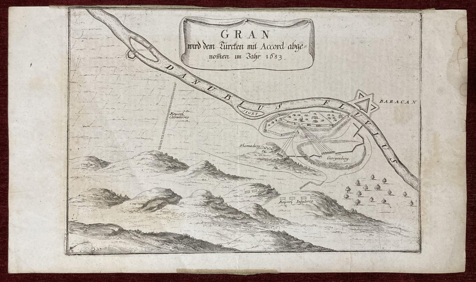
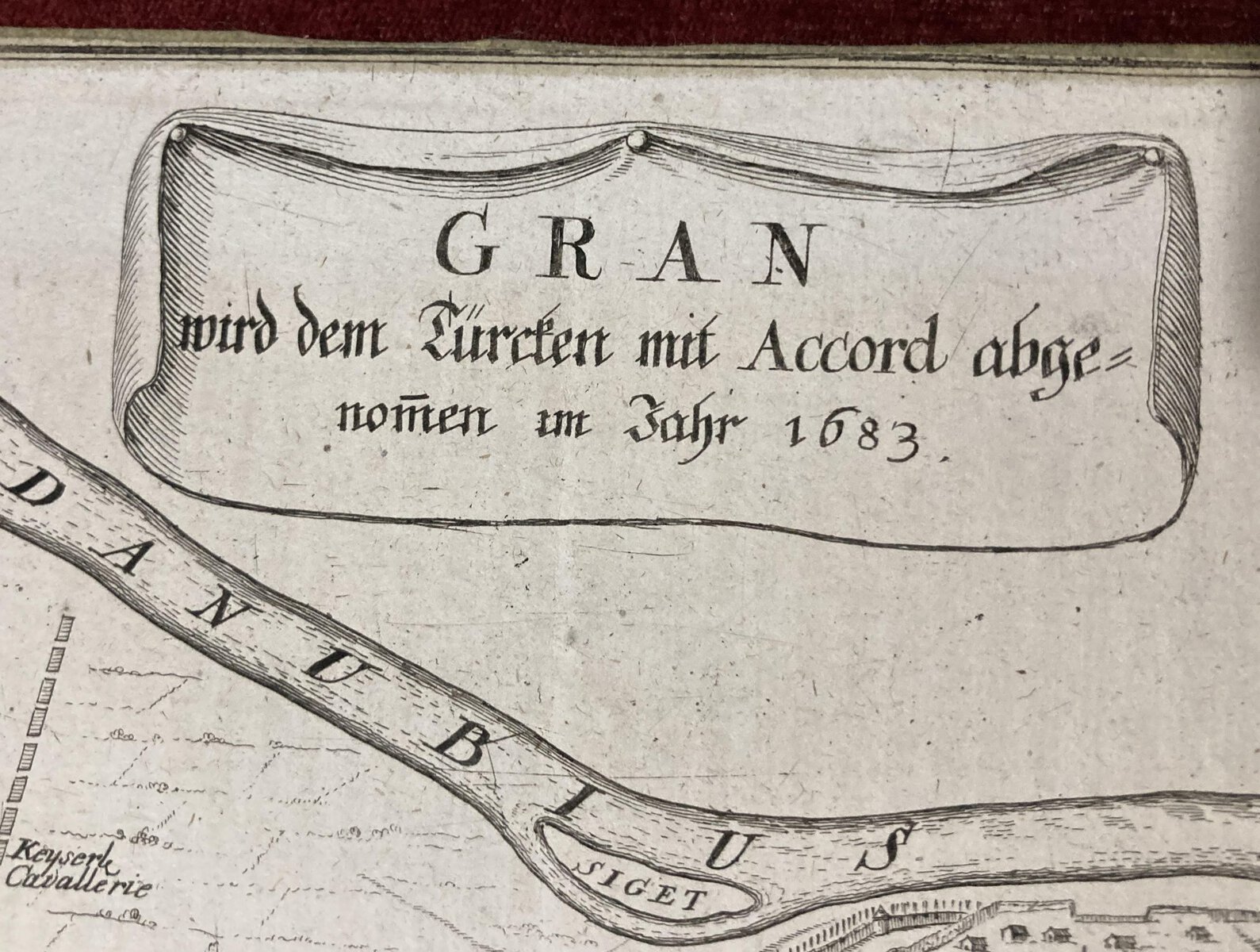
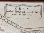
Title: Gran wird dem Turcken mit Accord abgenomen im Jahr 1683
Dimensions (approx.): 41 x 35 cm, 16.5 x 13.7 inches
Year: 1724
***
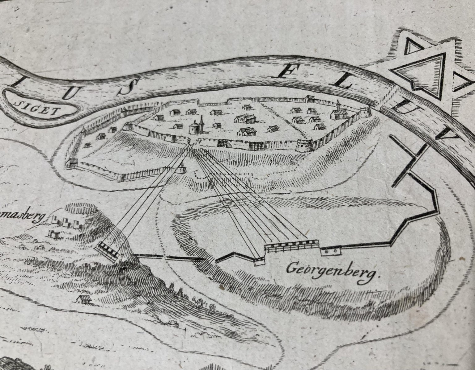
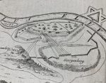
Original copperplate map depicting the plan of Gran (Esztergom), in present-day Hungary. It illustrates the Siege of Gran by the Austrians, following the Christian coalition’s victory over the Ottomans during the Great Turkish War. This map is extremely rare, with no other known copies currently available for sale online.
***
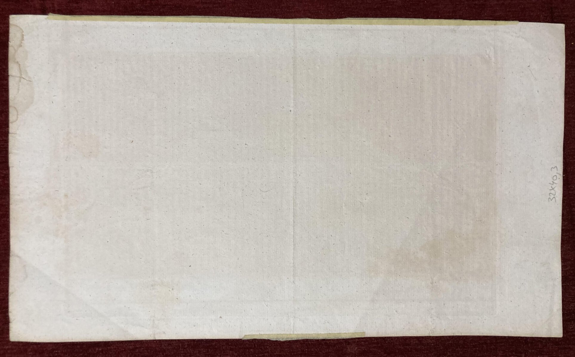
Condition: Cut. Traces of duck tape along the top edge, Some stains and creases along the edges.
For other details and condition see the scans. If you have any questions, feel free to contact us.
***
Note: This is an original antique engraving. We don’t sell reproductions.

