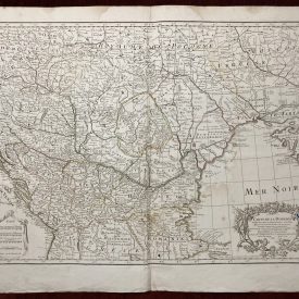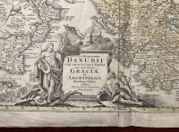
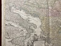
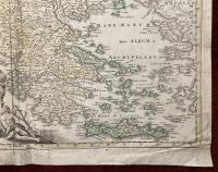
Fluviorum in Europa principis Danubii cum Adiacentibus Regnis, nec non totius Graeciae et Archipelagi
Antique Map of Danube river and Balkan Peninsula
***
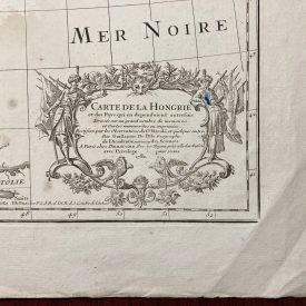
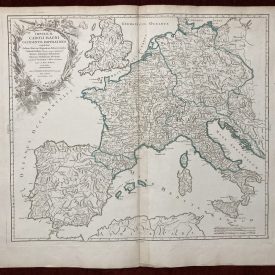
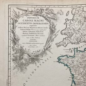
Rare and highly detailed Homann’s old map of Danube, Greece, the Balkans, and adjacent parts of the Adriatic and Aegean Seas. Map contains a beautiful decorative cartouche and a large inset map of the Upper Danube region. Map is showing the straits from the Aegean into the Black Sea. From a very early edition of Homann’s Atlas Novus Terrarum.
***
Dimensions: 580 x 495 mm; 23 x 19 inches (approx)
Year: 1720
Engraver: Johan Baptist Homann
Technique: Copperplate
***
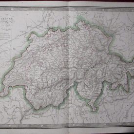
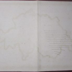
Condition: Folded as issued, with some minor stains and wrinkles. In very good condition.
***
For other details and condition see the scans. If you have any questions, feel free to contact us. More photos available on demand.
***
This is an original antique map. We don’t sell reproductions.
Item will be shipped in cardboard tube.