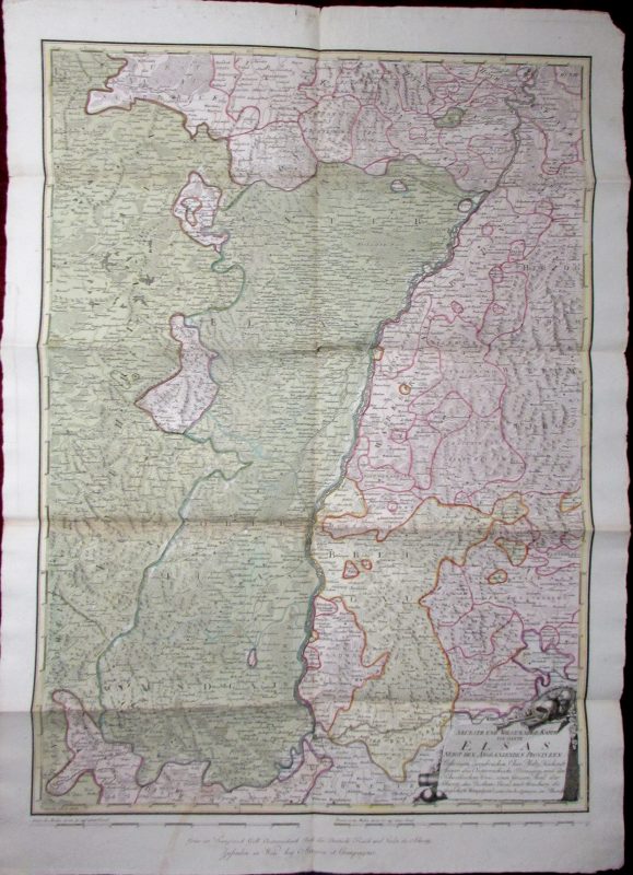
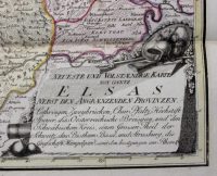
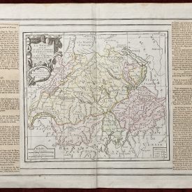
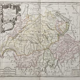
Neueste und volstaendige Karte von gantz Elsas:
nebst den Angraenzenden Provinzen: Lothringen, Zweybrücken, Chur Pfaltz, Hochstift Speyer, das Oesterreichische Breisgau…
***
Engraved by: Franz Müller
Dimensions: 608 x 109 mm
Year: [1790]
Place of publication: Vienna
Publisher: Artaria et Compagnie
***
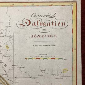
Complete and general map of Alsace (Elsas), a cultural region and a territorial collectivity in eastern France, next to Germany and Switzerland. Extremely scarce map, can’t be found anywhere else for sale on the Web.
***
Condition: Signs of folding, minor traces of wear, in good condition.
***
For other details and detailed condition of the item, please see the scans. If you have any questions, feel free to contact us.
***
Note: This is an original antique engraving. We don’t sell reproductions.