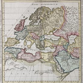
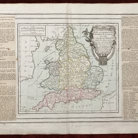
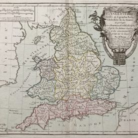
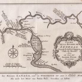
Antique Map of the Kingdom of Hungary – Pest Pilis es Solt
***
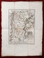
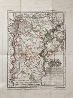
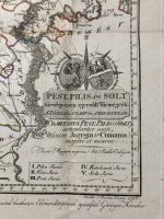
Title: Pest, Pilis, és Solt törvényesen egyesült vármegyék, a’ Jászság, a’ Nagy és a’ Kis-Kunság; Comitatus Pest, Pilis, et Solt articularite uniti, cum Jazygia et Cumania majore et minore
Description: This historical map, oriented to the north with the prime meridian at Buda, offers a detailed depiction of the Pest-Pilis-Solt county and neighboring regions. The map includes Jászság and the Lesser and Greater Kunság. County borders with Nógrád, Heves, Borsod, Külső-Szolnok, Békés, Csongrád, Bács, Baranya, Tolna, Fejér, Esztergom, and N. Hont are marked, as are the districts of Pilis, Vác, Pest, Kecskemét, and Solt. This map is dedicated to Count György Festetics, celebrated as a patriotic figure, by its creators Görög and Kerekes.
***
Size: 46 x 34,5 cm (paper); 32 x 25 cm (plate)
Date: 1796
Author: Antal Bella
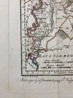
Engraver: Joseph Berken, J. – Viennae (incidit); Votésky, M. (reduxit)
Technique: Copperplate
Condition: Partially-colored. Folded as issued. Light paper browning and staining, otherwise in very good condition.
***
For other details and conditions see the scans. If you have any questions, feel free to contact us. More photos are available on demand.
The item will be shipped in a cardboard tube. If you have any additional questions, please get in touch with us.