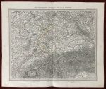
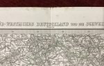
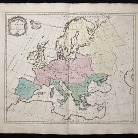
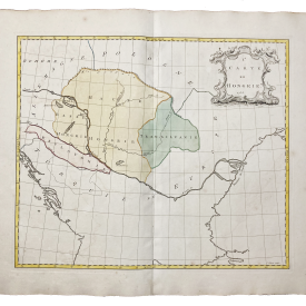
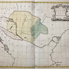
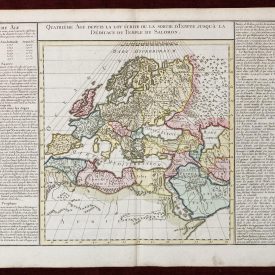
Antique Map of Germany – Süd-West Deutschland und Schweiz
Antique map of Germany and Switzerland, from Stielers Handatlas, No 24. Published in Gotha in 1874. Highly detailed and accurate map with hand-colored borders and pictorially shown relief.
***
Dimensions: 450 x 370 mm; 17.7 x 14.5 inches (approx)
Year: 1874
Engraver: Unsigned
Publisher: Justus Perhes, Gotha
Technique: Steel engraving
Coverage: Scale [ca 1: 925 000]
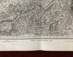
Condition: Folded as issued. Light stains on the margins and a bottom tear along the folding line (2cm), but overall, in very good condition.
***
The item will be shipped in a cardboard tube.
Please see the photos for other details of the item’s condition. More photos are available on demand. If you have any questions, feel free to contact us.
This is an original antique map. We don’t sell reproductions.