Old Map of France
***
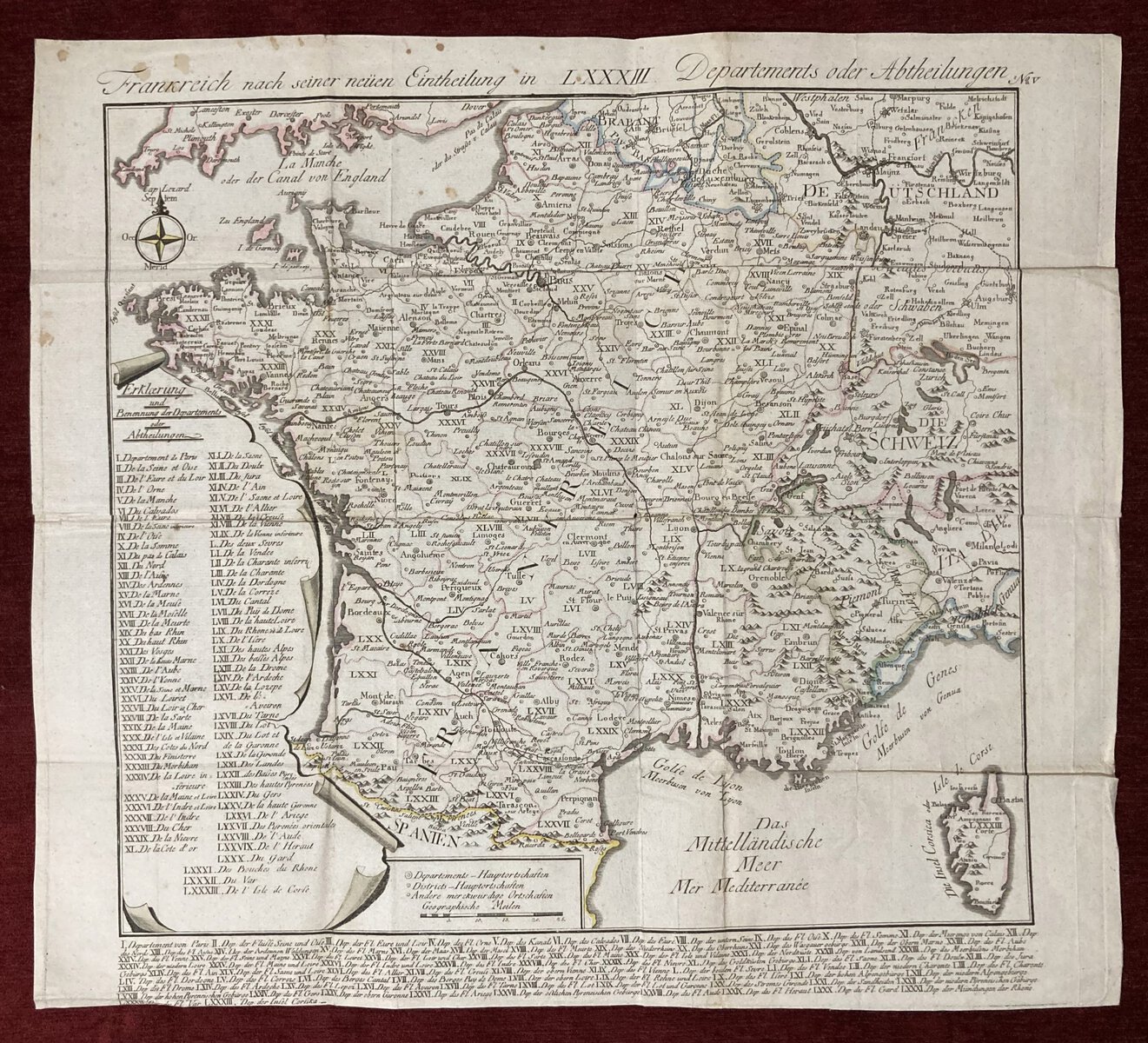
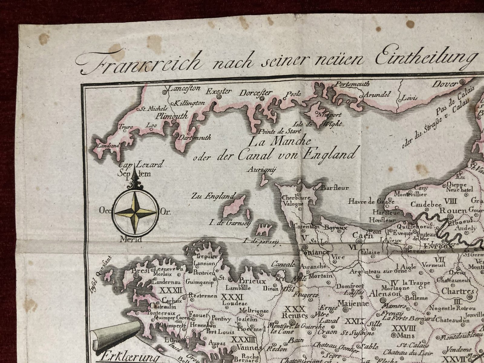
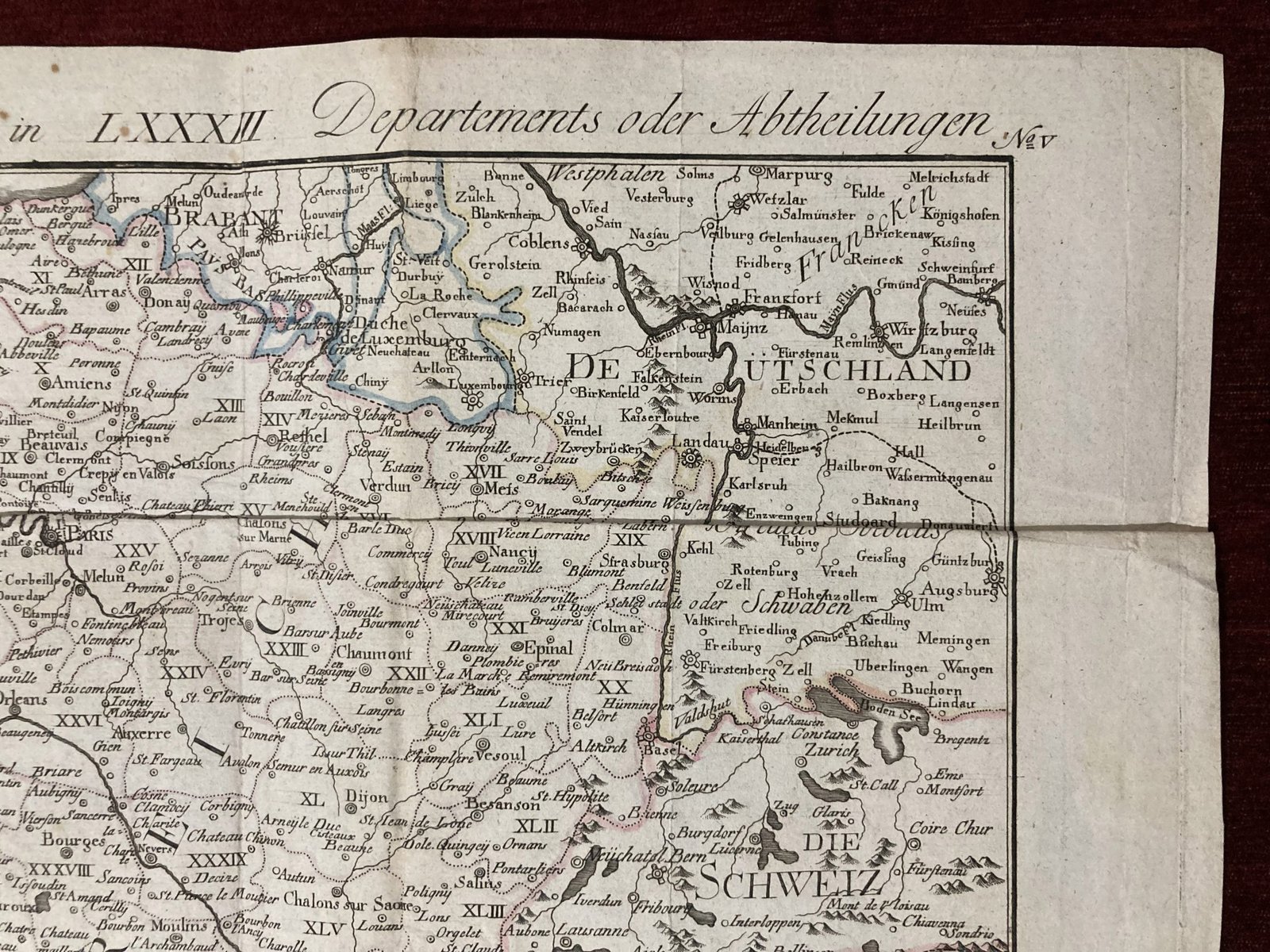
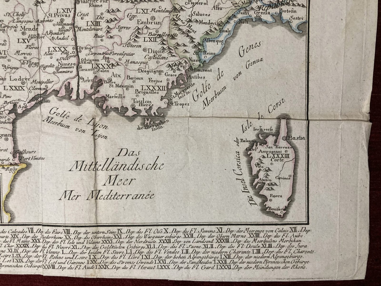
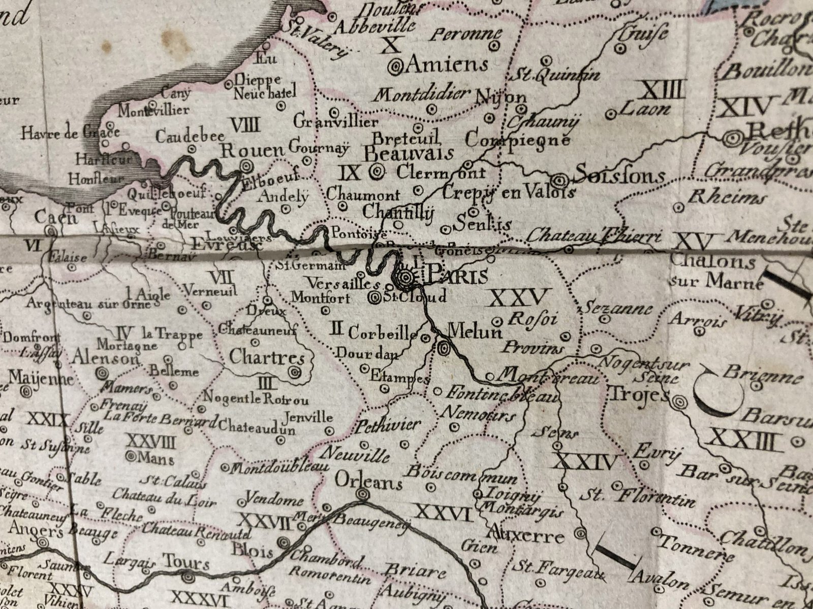
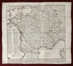
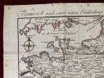
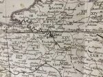
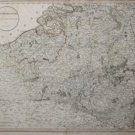
Title: Frankreich nach seiner neuen Eintheilung in LXXXIII Departments oder Abtheilungen (France according to its new division into 83 Departments or Sections)
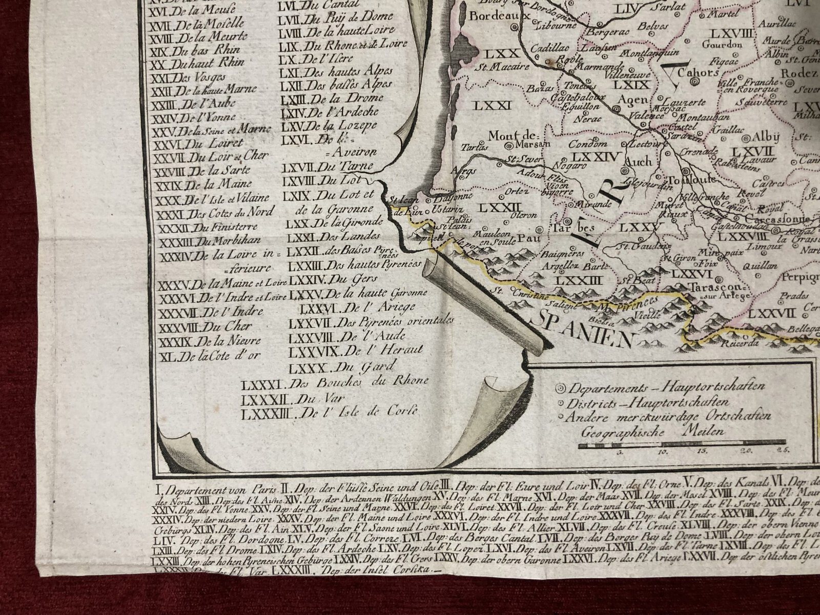
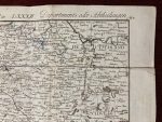
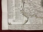
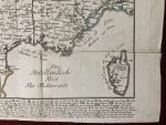
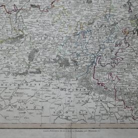
Original copper plate map of France divided into 83 departments from the early 19th century. The map shows France’s administrative divisions after the French Revolution when the country was reorganized into 83 departments for more centralized governance. The numbers on the map correspond to each department, with their names listed on the left-hand side in a legend. This was a significant shift from the older provincial system.
The map features beautiful copperplate engraving, a common method at the time, with hand-coloring to distinguish different regions.
***
Size: 40 x 36 cm
Date: 19th century
Author: Unknown
Technique: Copperplate
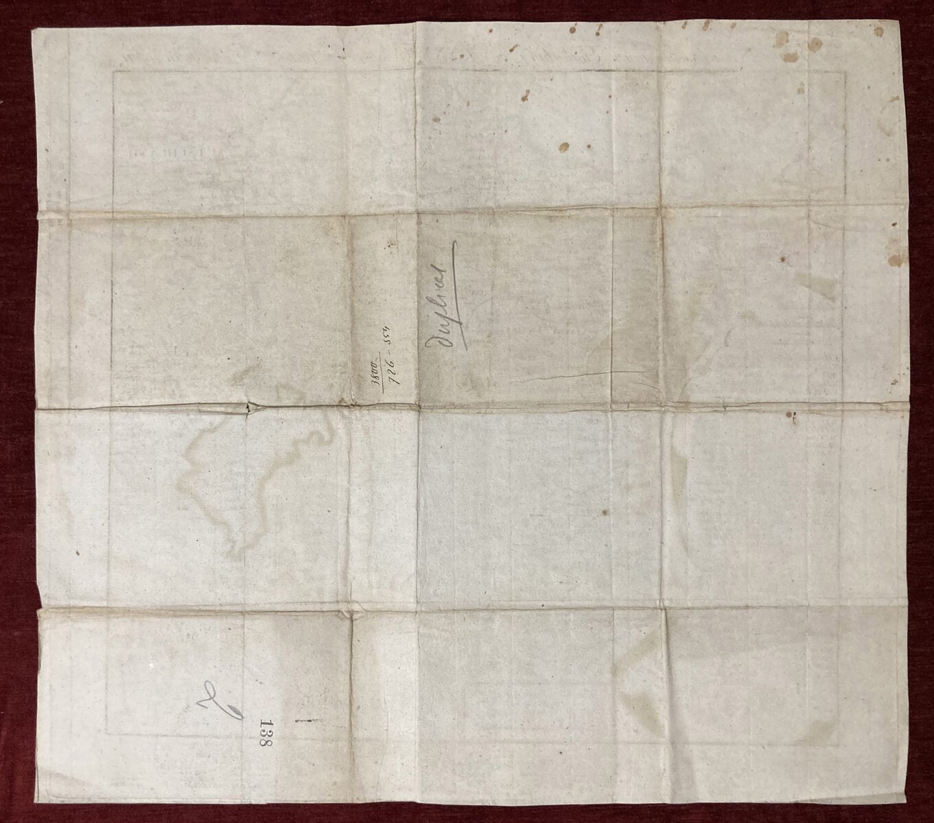
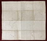
Condition: Some minor stains and creases along the edges.
***
For other details and conditions see the scans. If you have any questions, feel free to contact us. More photos are available on demand.
The item will be shipped in a cardboard tube. If you have any additional questions, please get in touch with us.

