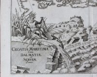
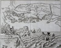
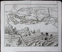
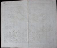
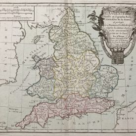
Croatia Maritima DALMATIAN COAST AND SERBIA
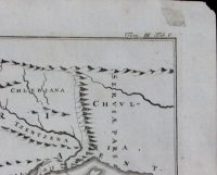
Antique map originaly titled Croatia Maritima cum Dalmatiae et Serviae Parte is showing territory of Croatia in the late Middle Ages. Map also depicts Croatian Dalmatia before Ottoman’s conquest of Bosnia. Its northern border follows the mountain ridge of Plješivica, Osječenica and Klekovača. The entire lower half of the map features a spectacular view of the Adriatic Sea with a mermaid and river ridge with a symbolic mythical creature reminiscent of Neptune.
***
Dimensions: 360 x 290 mm; 14 x 11 inches (approx)
Year: 1748
Engraver: Peter Conrad Monath
Technique: Copperplate
Condition: Signs of folding, some minor creases, spots and imperfections.
***
For other details and conditions see the scans. If you have any questions, feel free to contact us. More photos available on demand.
This is an original antique map. We don’t sell reproductions.
Item will be shipped in a cardboard tube. If you have any additional questions, please contact us.